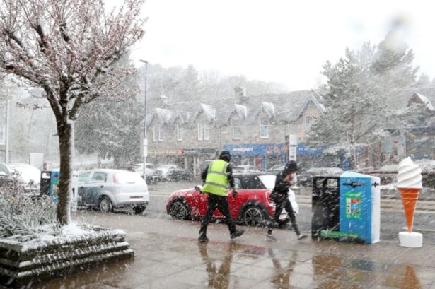
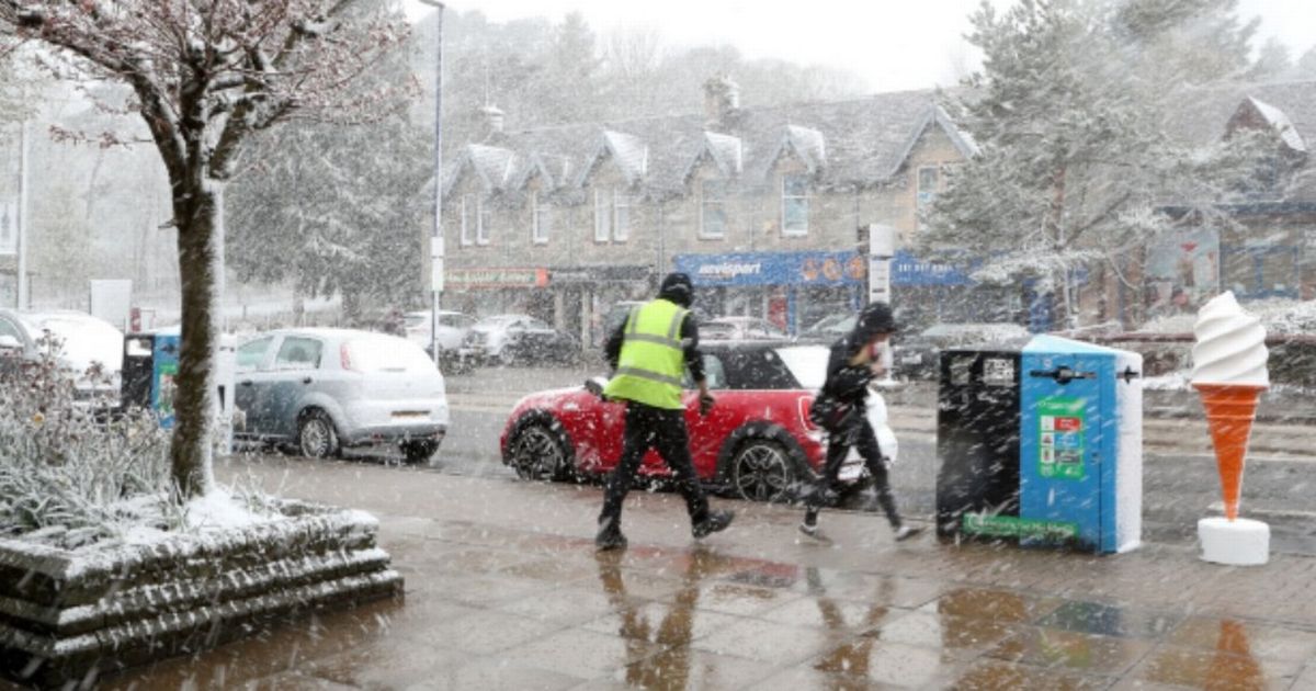
Maps from WX Charts suggest wintriness could sweep across the Pennines, which extends to multiple counties. All the parts of England that won’t see snow in October with 29 counties spared
All the counties in England that will be SPARED snow in October – as some counties are at risk of flurries – have been revealed. Maps from WX Charts suggest wintriness could sweep across the Pennines, which extends to multiple counties.
Cumbria, Northumberland, Durham, Yorkshire, Lancashire, and Greater Manchester, and Cheshire and Derbyshire, could face flurries. But further south will be spared.
It means counties escaping include the West Midlands, Warwickshire, Worcestershire, Herefordshire, Staffordshire, Shropshire and Nottinghamshire, as well as Rutland, Leicestershire, Lincolnshire, Northants, Bedfordshire, Buckinghamshire, Cambridgeshire, Oxfordshire, Essex, Kent, Norfolk, Suffolk, Sussex, Gloucestershire and Somerset.
READ MORE Mortgage warning for UK households as they risk being ‘squeezed’
Devon, Dorset, Cornwall, Hampshire, Berkshire, Hertfordshire and Greater London will also be spared.
Looking ahead at winter 2025 and 2026, Netweather’s Nick Finnis said: “There’s no escaping the fact the world continues to warm at unprecedented levels, global temperatures in 2025 have remained at near-record levels, with 2025 projected to be one of the top three warmest years on record.
“January 2025 was the warmest on record globally, more recent months of 2025 have experienced slightly lower but still very high temperatures, with July and August being the third-warmest for those months.”
The forecaster said in a blog post: “Arctic warming continues to significantly exceed average temperatures, while European temperatures are rising faster than the global average, with the continent warming at more than twice the global rate since the 1980s.
“This means achieving colder than average months in winter is a lot harder than it was 20-30 years ago, given the warmer world.”
He said: “We will see a slighter greater risk of northern blocking leading to cold spells – more likely in January and/or February – when there is an enhanced chance of a SSW occurring after New Year.
“However, overall at this early stage and given recent or current seasonal output, there is no signal for a colder-than-average winter (based on 1991-2020 average).”
In the medium term, the Met Office and BBC Weather teams have also ruled out snow for October.
But the GFS model, which is run by WX Charts, using Met Desk data, shows Pennines counties and Scotland could face flurries in mid-to-late October.
October 24 has been earmarked as a particularly problematic date, with four inches – or 10cm – accumulations likely.
