WX Charts maps and charts, based on advanced modelling from the Met Desk, hint at flurries sweeping across the country in mid-October. UK snow increased to ‘four inches’ with parts of England set to be hit
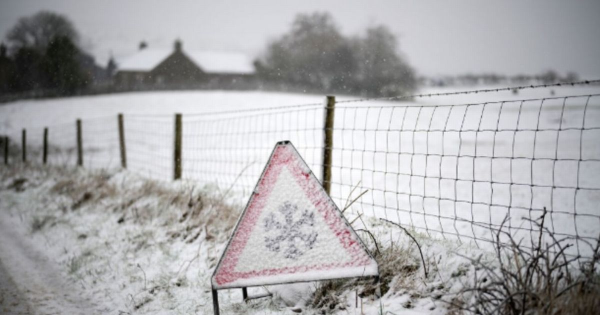
UK snow has been upgraded to FOUR INCHES with parts of England at risk alongside Scotland. WX Charts maps and charts, based on advanced modelling from the Met Desk, hint at flurries sweeping across the country in mid-October.
The mid-to-late part of the month could see parts of England at risk, too, with isolated flurries and accumulations across northern regions.
Snow is anticipated in and around October 25, from around 6pm. Inverness, Fort William and Portree can expect up to 10cm – nearly four inches – of snow – and maps show blotches of wintriness over northern England and Wales too.
READ MORE £65,000 warning for thousands of women with babies under age five
Netweather TV’s Jo Farrow said: “High pressure will become centred over the UK this week with a lot of settled, fair weather and lighter winds finally in the north.
“There will be large areas of cloud trapped under the high, so for some, it will feel cool and be bright at best. For others, there will be breaks in the cloud and sunshine so it will feel mild with little breeze.
“By night, temperatures will dip away under the clear spells and there will be rural grass frost. Also, fog patches will form in the steady setup.”
Ms Farrow added: “An autumn high like this can present difficulties when forecasting cloud cover. The weather is steady and generally dry but the difference between grey cloudy areas and sunny parts is great in terms of how the day will feel.
“Scotland has been very windy on Friday, especially in the far north further from the centre of the high and for eastern counties. The fresh westerly wind has moved over high ground and there have been high lee gusts but in brilliant sunshine.”
In the short-term, the BBC Weather team says tomorrow will remain settled and mostly dry. It will be largely cloudy with patches of low cloud and early mist and fog. In the far southeast and the far north, some patchy light drizzle at times.
Wednesday will be largely cloudy with some early mist and fog, but some sunny spells for the north and west later. Patchy drizzle is still possible in the far southeast and the far north. Thursday will see variable cloud and sunny spells.
Cloudy in the far north with some drizzle. The odd shower is possible in the far south and the Channel Islands. Similar conditions on Friday.