In and around October 25, WX Charts – which uses Met Desk data – suggests flurries of the white stuff could blanket Britain. UK faces ‘first significant snow of season’ with 7cm being dumped
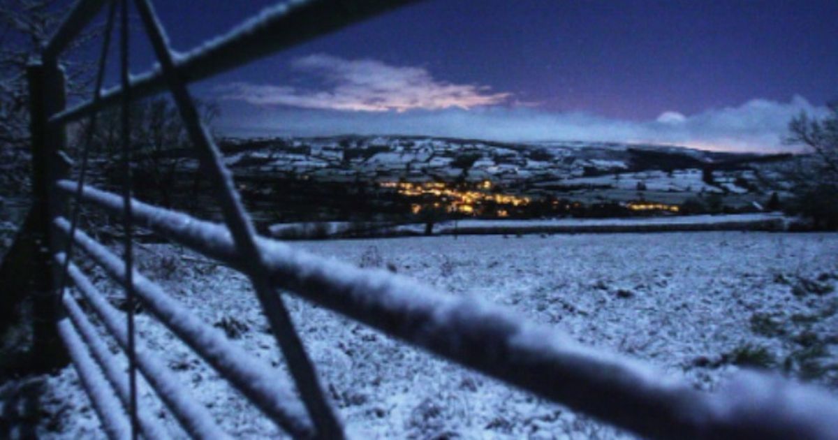
UK snow has been upgraded to as much as 7cm an HOUR in parts of the country before the end of the month. In and around October 25, WX Charts – which uses Met Desk data – suggests flurries of the white stuff could blanket Britain.
As perhaps expected, Scotland looks to be most at risk – with flurries from around 6am that day. The flurries could sweep Invernessshire, Ross and Cromarty and Sutherland, as well as Nairnshire and Caithness.
According to the maps, estimations are 2.5cm of snow per hour. But accumuulations look likely to be far heavier towards the coast, potentially up to 7cm an hour, according to the data.
READ MORE Mechanic issues seven-day warning to drivers ahead of ‘sudden catastophe’
The predictions from WX Charts, which uses the advanced model and GFS system, suggest this could be the first significant snowfall of the season.
The predictions of the first proper snow of the season comes as temperatures continue to drop and Arctic air pushes further south.
In the immediate short-term, Nick Finnis, from NetWeather TV, says: “High pressure will remain firmly in charge as we go through the rest of the week keeping most dry and settled, so there will be little change in the weather, other than where it will remain cloudy and where sunny spells develop – which will vary day-to-day.
“Where skies clear at night, there could be a touch of frost in more rural areas. By day, it will be pleasantly warm, though, where the sun comes out.”
He said: “Next week looking much more unsettled, as the jet stream which has been diverted well to the south of the UK over SW Europe by blocking high pressure over NW Europe moves back towards it’s more usual path aimed at NW Europe.
“This will bring areas of low pressure east off the Atlantic across or near the UK, bringing spells of rain or showers and it will be windy at times too. More typical autumnal weather!”
“There is some uncertainty, though, over how slow-moving areas of low pressure will be. ECMWF is more slow-moving, bringing larger rainfall totals, while GFS is more progressive, bringing spells of rain through more quickly. Too far out to say yet how wet it could be,” Nick added.