Weather maps have revealed that snowy conditions could be on the way for parts of northern Scotland with the temperature dropping into the minuses
20:50, 20 Oct 2025Updated 20:59, 20 Oct 2025
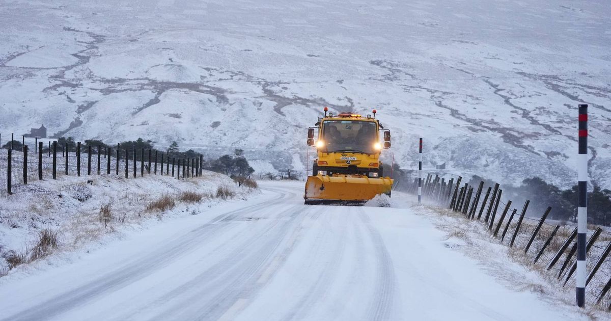
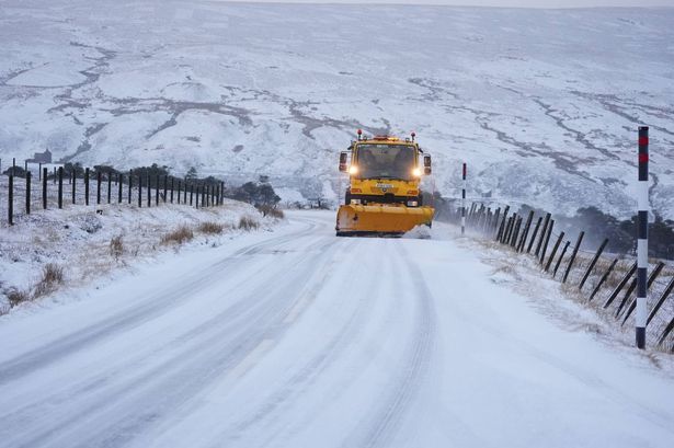 Areas of the UK could be set for snow(Image: PA)
Several parts of the UK are expected to be hit by snow this week, with freezing temperatures on the way.
Met Office weather maps predict spells of snow and hail for parts of northern Scotland during the late hours of Friday night, into the early hours of Saturday morning, reports MirrorOnline.
According to maps from WXCharts, which utilises Metdesk data, some snow could also fall across Wales and northern England on Thursday.
READ MORE: Parts of UK set to freeze in -1C temperatures with 2cm of snow falling per hour
Get breaking news on BirminghamLive WhatsApp, click the link to join
The probability of snowfall rises over the weekend, with heavier coverage over the entirety of Scotland, as well as northern England, parts of the eastern coast and Wales, the maps show.
Northern Ireland may also experience some snow on Sunday morning, with more flurries set to descend on Monday.
While the Met Office said it doesn’t anticipate a significant cold spell, it explained that isolated wintry showers are “always possible” towards the end of October, which are especially likely over high ground in Scotland.
Between Thursday and Friday, lows of around -1C, are expected in the north Pennine locations of County Durham, Cumbria and Northumberland.
However, rural Scotland could experience freezing temperatures of -7C or -8C, while rural areas across England could see the mercury drop to -2C or -3C.
Met Office meteorologist Dan Stroud said a widespread frost with a few icy patches is likely on Tuesday morning.
Areas of higher ground in northern England are likely to see snow as well, Mr Stroud said, but this will be short-lived, he added.
Mr Stroud said: “The rain will turn briefly to snow across the high ground in the far north, that’s northern England and northwards.”
The meteorologist said while there is a risk of wintry weather at the weekend, it is typical for this time of year.
He said: “At the moment we think there will be a bit of a plunge in temperatures next weekend.
“It will be generally unsettled and changeable. But these temperatures are around average for this time of year.”
The Met Office said some chilly nights are possible at times through the remainder of October and Autumn and this is “completely typical”, but “widespread or persistent cold weather is not currently anticipated.”
Mr Stroud said: “At the moment generally unsettled seems to be the name of the game.
“A cold snap is unlikely – that is not a term I would use.
“There is no suggestion there will be anything noteworthy or unexpected.”
Currently, the areas that could experience snowfall are:
- Caringorms National Park
- Ross and Cromarty
- Loch Lomond
- Trossachs National Park
The coldest counties are forecast to be:
- Northumberland
- Durham
- North Yorkshire
- West Yorkshire
- Cumbria
- Greater Manchester
- Lancashire
- Staffordshire
- Leicestershire
- Northamptonshire
The Met Office’s long-range forecast from Saturday, October 25 to Monday, November 3 reads: “An increasingly cold northerly flow to start this period, which will be showery around coastal areas but there will be some brighter spells inland.
“The showers could be wintry at times over the high ground in the far north. Into the following week conditions will likely turn increasingly changeable as a more westerly pattern develops.
“This will likely allow outbreaks of rain and some periods of stronger winds to spread into the UK from the Atlantic, but there will however be some drier interludes at times.
“The wettest weather will probably be in the north and west but much of the UK will see rain at times.
“Temperatures are expected to be close to or slightly below normal for the time of year.”
UK 5-day weather forecastToday:
Morning fog patches gradually clearing.
A day of frequent showers across England and Wales, some heavy with hail and thunder.
Drier for Northern Ireland and southern Scotland but rain continuing across northern parts of Scotland.
Windy along the south coast.
Tonight:
Showers continuing through this evening and overnight, though becoming increasingly confined to western areas.
Some of the showers could be heavy at times. Staying windy along southern coasts.
Tuesday:
Tuesday will be another mixed day, with sunny spells and blustery showers for most.
Showers most frequent in the north and west. Feeling pleasant in any sunnier intervals.
Outlook for Wednesday to Friday:
A drier day on Wednesday for many, ahead of wet and windy weather developing through Thursday.
Likely staying windy Friday, with rain clearing to heavy showers.
Turning colder by Friday.