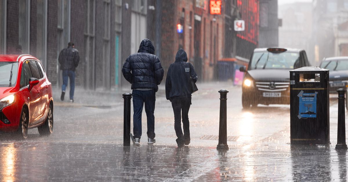
The Met Office said the weather will be “unsettled” for many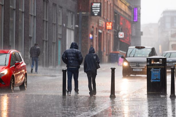 Heavy rain in Liverpool city centre today(Image: Liverpool Echo)
Merseyside is set to be hit by heavy rain and unsettled weather. Today, Thursday, October 23, will start cloudy before turning to heavy rain at midday, which is set to last until around 3pm.
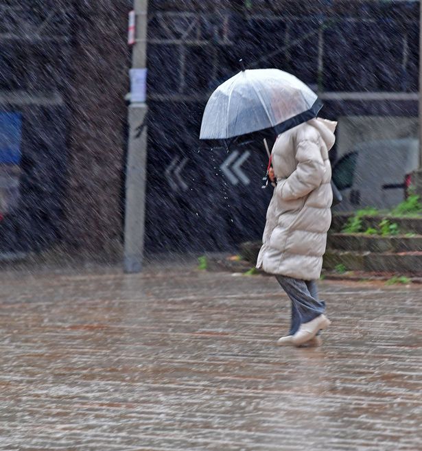
Friday will also be battered by heavy showers for most of the day. It is also said to be cooler today, with temperatures peaking at 12C and lows of 8C. The Met Office said the weather will be “unsettled” for many.
However, the worst of the impacts are expected to be felt across the near continent and France, and Meteo France have named it Storm Benjamin. Some parts of the UK have been given a yellow weather warning for rain and wind, however Merseyside is not covered by the weather warning.
Chief meteorologist, Rebekah Hicks said: “Low pressure moving across the south of the UK tomorrow will bring both a spell of heavy rain and areas of strong winds.
“The rain is expected to arrive from the southwest this evening, before spreading northeast to many parts of England and Wales during Thursday, leading to difficult driving conditions and the risk of flooding in a few places. At the same time, winds are expected to pick up along southern coastal areas.
“However, it is not until Thursday morning that significantly strong north-westerly winds will first begin to affect parts of the west with gusts of 45 to 55 mph, locally 55mph around coasts expected.
 Heavy rain in Liverpool city centre(Image: Colin Lane/Liverpool ECHO)
“At the same time, northerly winds are expected to develop more widely across eastern areas, with gusts of 50-60 mph fairly widely and up to 70 mph near some coasts.
“Should Storm Benjamin be at the stronger end of expectations, there is a small chance of wind gusts very locally exceeding 70 mph for a time.
“It is worth noting that there is a greater than usual uncertainty surrounding the track and intensity of this low-pressure system, so the public should stay up to date with the latest forecasts and warnings as the situation evolves, with adjustments to the forecasts likely at short notice.”
Friday will be a day of sunny spells and heavy, blustery showers for many.
These will gradually ease later in the day, although winds will remain strong, with coastal gales likely, particularly in the east and northeast.
It will turn colder over the weekend as an Arctic Maritime airmass spills southwards in the wake of Storm Benjamin.
There will be a mix of sunny spells and blustery showers which are likely to be wintry over mountain tops in Scotland; this is fairly typical for this time in the year.
Sunday may offer a brief window of drier and brighter conditions before rain later.