Tuesday, 11 November 2025, 09:31
The rainfall will continue to be the main feature of the weather in many parts of Spain this week. This has been confirmed by the state meteorological agency (Aemet), which warns of the arrival of a new high-impact storm, Claudia, which will leave rainfall in a large part of the country. As the days go by, these will spread across the Iberian Peninsula until reaching the east of the Spanish mainland.
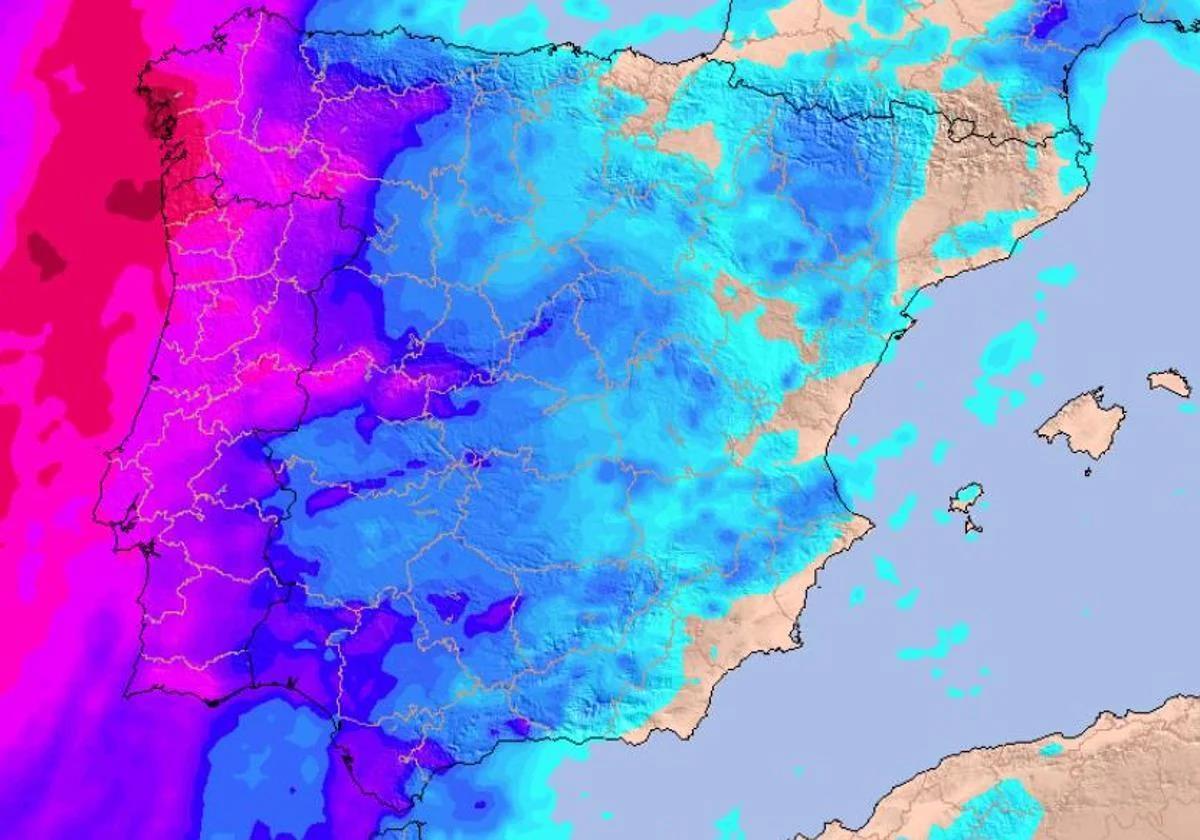
According to the agency’s forecast for the coming days, the weather front will move across the country from west to east, leaving rain that will reach “most of the country”. Even so, the downpours will be less intense in the Mediterranean and eastern Cantabrian areas.
🌀AEMET nombre una nueva borrasca con gran impacto: la borrasca Claudia .
➡️ Provocará vientos fuertes y precipitaciones intensas y persistentes en Canarias.
➡️ También afectará al oeste peninsular con fuertes rachas de viento, precipitaciones persistentes y temporal marítimo. pic.twitter.com/vPxEnbh3v9
— AEMET (@AEMET_Esp) November 10, 2025
We will also see changes in temperatures with the passage of this new storm with the arrival of a slightly warmer air mass, coming from the south. After several days of more autumnal values, the thermometers over the next few days will again be higher than usual for this time of year in almost all of Spain.
Storm Claudia will bring heavy rainfall to these parts of Spain
Since yesterday, Monday 10 November, the high-impact storm Claudia, named by the Spanish state weather agency Aemet, started to affect parts of the western mainland, leaving rain as it passed through regions in the extreme western, as well as the Canary Islands. The passage of these fronts will especially affect the west of Galicia, where in the coming days “more than 200mm could fall “ over the next few days, according to the European model consulted by Meteored.
This situation will continue on Tuesday, although a cold front could penetrate the northwest of the Spanish mainland late in the day. From then on, Aemet expects quite heavy rainfall, especially in the western half of Coruña, Pontevedra and Lugo. Some light rain could also be recorded in Extremadura and the Cantabrian areas.
From Wednesday onwards, showers will continue to be abundant in Galicia, but the rest of the Spanish mainland will remain relatively free of instability due to the presence of a weather system that will prevent the front from advancing. It will not be until Friday 14 November when it will gradually lose strength until it enters the central and eastern parts on the mainland, reaching parts of the Andalucía, Castilla y León, Castilla La Mancha, Asturias and the Madrid regions.
Temperatures rising, although frost will continue in these areas
As for temperatures, thermometers will remain at fairly normal values for the season. This Tuesday the minimum temperatures will be close to 5C in some inland provincial capitals, while they will be close to 10-15C on the coast of Galicia, the Canary Islands and the Balearic Islands.
From Wednesday onwards, everything suggests that temperatures could rise with the passage of a slightly warmer air mass that will arrive in Spain from the south. Thus, highs of up to 25 degrees will be recorded in some parts of the Peninsula, such as the Mediterranean, the Guadalquivir or even areas of the Cantabrian Sea. The mercury will climb even higher in Andalucía by the end of the week, when it could easily exceed 26C.
Although it will be a week of warm temperatures compared to normal for the season, we will continue to see some weak frosts in the northern plateau and mountain areas. However, they will be much less significant than recently, with hardly any snow in the mountain ranges of Spain.