The weather is expected to plummet by the last week of November A swathe of cold air will sweep through the country on November 25(Image: Getty Images/iStockphoto)
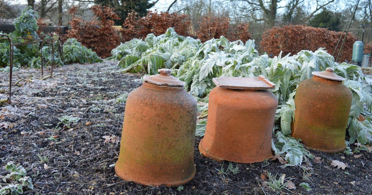
Huge parts of the UK are about to be battered by an Arctic blast and even Birmingham won’t escape the plummeting temperatures.
According to the weather charts, parts of Birmingham, Manchester, and Stoke-on-Trent will see the mercury levels oscillating between -1 and 0C during the last week of November.
Brummies are getting off lightly, as Newcastle, Yorkshire, York, Middlesbrough and Carlisle will feel like Dennis Quaid in The Day After Tomorrow with temperatures at -5C.
READ MORE: Rachel Reeves ‘could scrap’ driving rule in place since 2022 hitting millions ‘immediately’
However, the Scots will once again bear the brunt of the bad weather, as Edinburgh, Dundee, Aberdeen and Glasgow are likely to experience -7C during the same time.
This is all according to weather maps from WXCharts, which suggests that a swathe of cold air will sweep through the country on November 25.
A 679-mile polar blast will hit areas covering from Wick to Swansea.
Fort William and Portree in Scotland will get the worst of it, with temperatures falling to a lowest of -12C.
The Met Office appears to concur with this assessment, forecasting yet more cold days and nights.
The Met Office’s long-range forecast between November 16 and 25 reads: “Central and northern parts of the UK will likely be in a colder but drier regime than of late with overnight frost, and some showers near windward coasts in particular which may be wintry on high ground in the north.
“However, across the south it is likely to be cloudier and wetter initially, with some uncertainty as to how quickly this clears away to the south.
“It is most likely that the bulk of the UK will experience drier and colder conditions into the first part of next week.
“Later in the period there is increasing uncertainty, but a trend towards more changeable conditions is possible, with some rain or showers in places, and perhaps some hill snow at times in the north. Temperatures overall may return to near average.”
It comes after reports the UK is likely to be blitzed by a rare weather phenomenon, with the latest weather maps turning orange and white in a forecast for November 21.
Freezing rain is a rare type of liquid precipitation that strikes a cold surface, and freezes almost immediately.
The rare weather phenomenon tends to start as snow, ice, sleet or hail, but as it passes through a layer of air that’s above 0C on the way down to the ground, it melts into a liquid water droplet.
When these supercooled droplets strike surfaces that are close to or below freezing, they freeze on impact creating a glaze of ice.