It is still a few days away and the details for next week are likely to change.
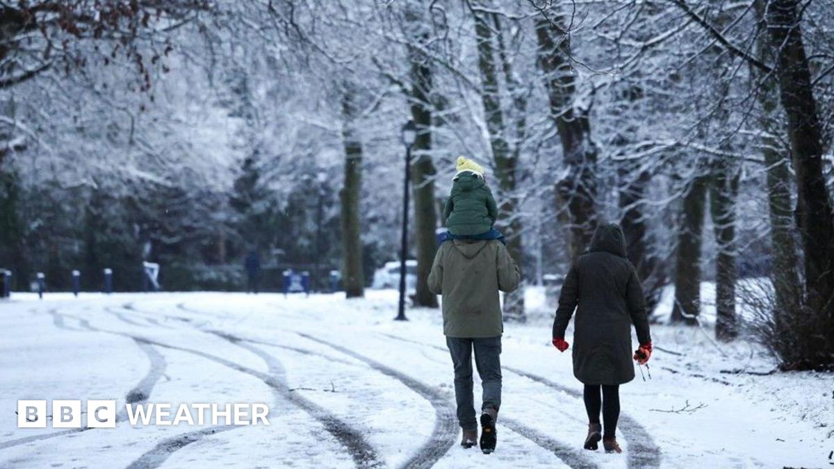
But at the moment it looks as if there could be wintry showers – a mixture of rain, sleet and snow – mainly over northern Scotland, Northern Ireland, the North Yorkshire Moors, west Wales and the moors of south-west England.
Essentially, areas exposed to the cold northerly wind.
An Atlantic weather system coming into the cold air on Tuesday could bring some snow inland over Scotland and northern England. This could briefly spread to the Midlands and south-east England on Wednesday morning.
It’s too early to say though if and where the snow will settle.
It is unlikely to be as bad as the snowy and icy spell this time last year which closed hundreds of schools and gave 12cm of snow in Nottingham.
Over recent decades the Met Office have observed a decrease in the frequency, duration, and intensity of cold spells, clearly linked to climate change. According to the latest State of the Climate Report, external, air and ground frosts have reduced by around a quarter since the 1980s.
