Multiple yellow snow and ice warnings are in place across for vast swathes of the country with temperatures plunging well below zero for millions of Brits this week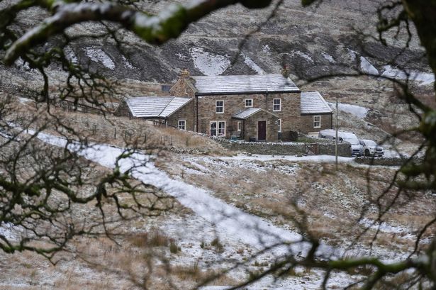 A deep freeze is set to grip the UK this week(Image: PA)
A massive 326-mile wall of snow will be sweeping across the UK as an Arctic blast sparks a “rare” weather event.
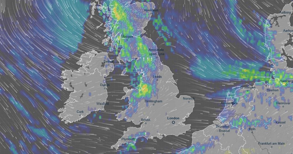
New weather maps from Ventusky show the band of snow stretching from Ullapool, in Scotland, down to Manchester. Maps show also showed upward of 8mm of the freezing rain could fall in Merseyside, Lancashire, Greater Manchester as well as the west coast of Scotland this morning.
The Met Office describes freezing rain as a “rare type of liquid precipitation” that strikes a cold surface, “and freezes almost instantly.”
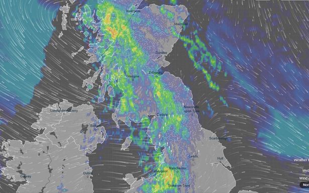
The chilly conditions will be combined with snow and ice with temperatures set to drop below freezing in Scotland and northern England. Snow is expected across the Highlands today with the Met Office issuing a yellow weather warning until 6pm.
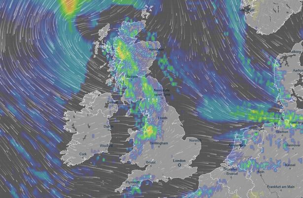 As much as 8mm of freezing rain could fall across the UK (Image: Ventusky)READ MORE: Snow hits UK in first downpour of winter as Brits face -10C Siberian blastREAD MORE: Stop using foil behind radiators and instead use easy method that heats up rooms quicker
Forecasters warn people in the Highlands should expect delays and disruption. It added: “An area of rain will reach the west of Scotland early on Tuesday, before pushing erratically south and east through the morning, easing and clearing into the afternoon. Whilst there is some uncertainty as to the exact track and extent, a period of snow is likely over high ground, with accumulations of 2-5cm possible above about 150m elevation, and as much as 5-10cm above 400m.”
Another yellow snow and ice warning is in place for northern Scotland and the Isles is in place for today from 6pm and will last until 9pm on November 20. A yellow ice warning will last until 12pm today in northern England and southern and central parts of Scotland.
 Weather maps shows a massive band of rain stretching across the UK (Image: Ventusky)
Met Office forecasters warned of frontal systems moving across the UK, bringing a mix of rain, sleet and snow – particularly in Scotland. For those looking for a warmer spell, this week will not deliver.
Deputy Chief Forecaster Tom Crabtree explained: “Wednesday to Friday will be the coldest part of the week, and this period has the greatest potential for impactful weather, with multiple warnings in place. Overnight, temperatures could get down to -10C, with a significant wind chill from the strong northerly wind making things feel even colder.
“Wintry snow showers are expected to extend south through Wednesday and into Thursday, mainly affecting north facing coastal areas. Snow accumulations are possible, including 2-5cm to some low-lying areas in the north and east where showers are frequent. On hills in parts of Northern Ireland, the northeast of England and Scotland, 5-10cm of snow could fall and accumulations of 15-20cm are possible above 300 metres in parts of northeastern England and Scotland.
“Although many places will see plenty of sunshine, daytime temperatures will be well-below average, with a widespread frost setting in during the evening, especially in sheltered areas.
“With sub-zero temperatures in the first ‘cold snap’ of the year, updates to the current warnings are possible, so its important people keep up to date with the forecast.”