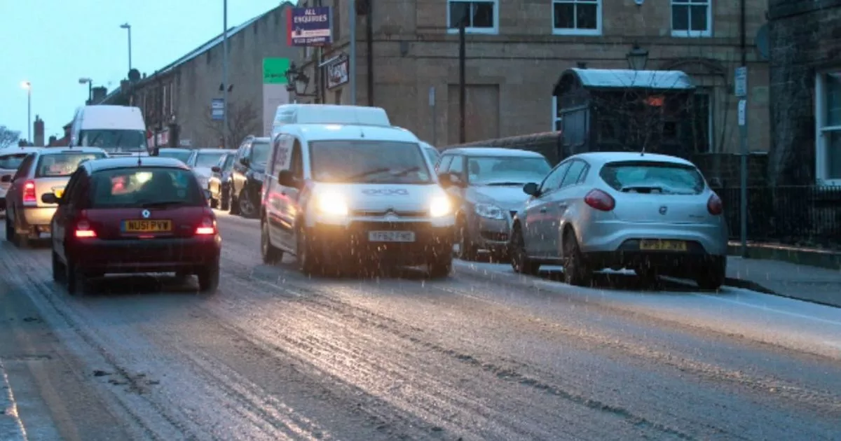
The weather is turning wintery from tonight with the Met Office issuing a number of alrts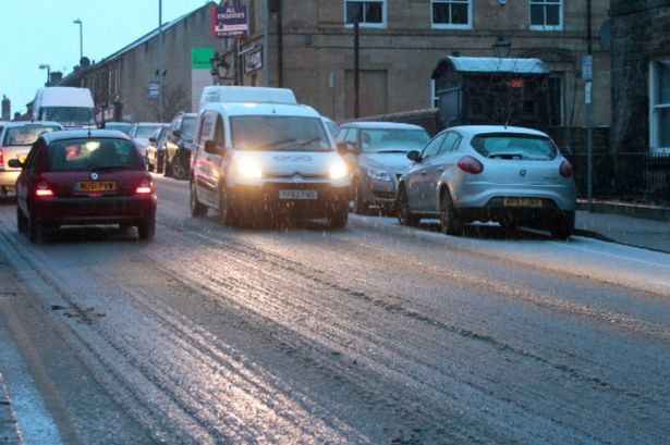 Snow has been forecast for England, with 18-hour alerts issued by Met Office
The Met Office has issued new snow alerts for England, now spanning 18 hours and covering large parts of the country.
A rare amber warning starting at 3am tomorrow (November 20), has been sent out for North East England.
Frequent wintry showers will feed inland from the North Sea, providing significant snow accumulations over the North York Moors and parts of the Yorkshire Wolds.
READ MORE: UK snow arriving from today with five parts of England blanketed
Get breaking news on BirminghamLive WhatsApp, click the link to join
By the end of Thursday, as much as 15-25 cm could have accumulated on hills above 100m elevation, with the warning remaining in place until 9pm.
The Met Office is predicting that gusty winds may create “occasional blizzard conditions” and even a “few lightning strikes”.
There is a good chance that some rural communities could become shut off, warns the Met Office.
Travel disruption and power cuts are also likely.
Also in place is a yellow weather alert for the East of England, where 1-2cm of snow are likely to fall in places and could even settle as temperatures plunge during the evening, whilst ice may form on untreated surfaces.
The warning for snow and ice comes into force at 5pm today (November 19), and will remain until 11am tomorrow.
The Met Office says “wintry showers will feed inland through Wednesday evening, overnight and into Thursday morning”.
Met Office Chief Forecaster Neil Armstrong said: “Cold Arctic air from the north is firmly in charge of the UK’s weather, bringing the first notable cold snap of this autumn and giving an early taste of winter weather.
“As a result, winter hazards are likely through the next few days, with snow and ice a particular hazard, and the coldest conditions likely on Wednesday and Thursday.
“Wintry showers will affect areas exposed to the brisk northerly wind, in particular Northern Ireland, southwest Wales, southwest England, northeast England, and across the northern half of Scotland.
“Whilst not all places will see lying snow, where showers are most frequent, accumulations of 2-5 cm will be possible.
“On higher ground in Scotland, 15-20 cm could accumulate, and potentially as much as 15-25 cm over the North York Moors and Yorkshire Wolds.”
Regions and local authorities affected by the amber warning:North East England
Redcar and Cleveland
Yorkshire & Humber
East Riding of Yorkshire
North Yorkshire
Regions and local authorities affected by the yellow snow and ice warnings:East of England
Norfolk
Suffolk