According to the weather maps, the wintry conditions will begin to hit the country at around 6am on Wednesday leaving most parts of the UK drenched in rain. Areas around Blackpool, Newcastle, Plymouth, Dundee will witness the rainy weather while parts of Scotland including Inverness will be peppered with the snow, the weather maps have suggested.
By 12pm, areas around Manchester, Stoke on Trent, The Cotswolds, Birmingham, Bristol and Plymouth will experience heavy rain showers, the weather maps have suggested.
The unsettled conditions will begin to settle down by 9pm as the rainy weather moves away from the UK.
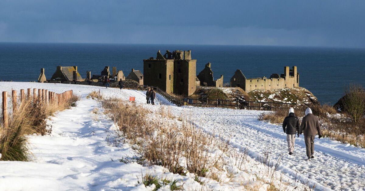
The dramatic weather come days after the country experienced the coldest night of the autumn so far, with the temperatures falling as low as -12.6C overnight in Scotland – the lowest temperature recorded on a November night in 15 years.
The Met Office‘s forecast for the week explains that Tuesday is expected to stay mostly dry and settled across many areas, though conditions will turn cold and frosty overnight. As the week progresses, the weather will shift, becoming milder as winds move in from the west.
This change will also bring stronger winds and occasional spells of rain, making the weather more unsettled after the brief period of calm.
Experts from Netweather.tv shared that as the area of low pressure moves eastward on Monday, it will briefly bring a northerly flow, causing cooler conditions. Howev this will be short-lived as high pressure builds in from the Atlantic, helping the weather to settle and become more stable.
They said: “While it will still feel cool, temperatures are not expected to drop as sharply as they did on Wednesday earlier in the week, making conditions a little more comfortable.”