Snow is set to form across swathes of England on Friday, December 5, it has been warned. UK faces 4cm snow within hours with 12 counties in England seeing it settle
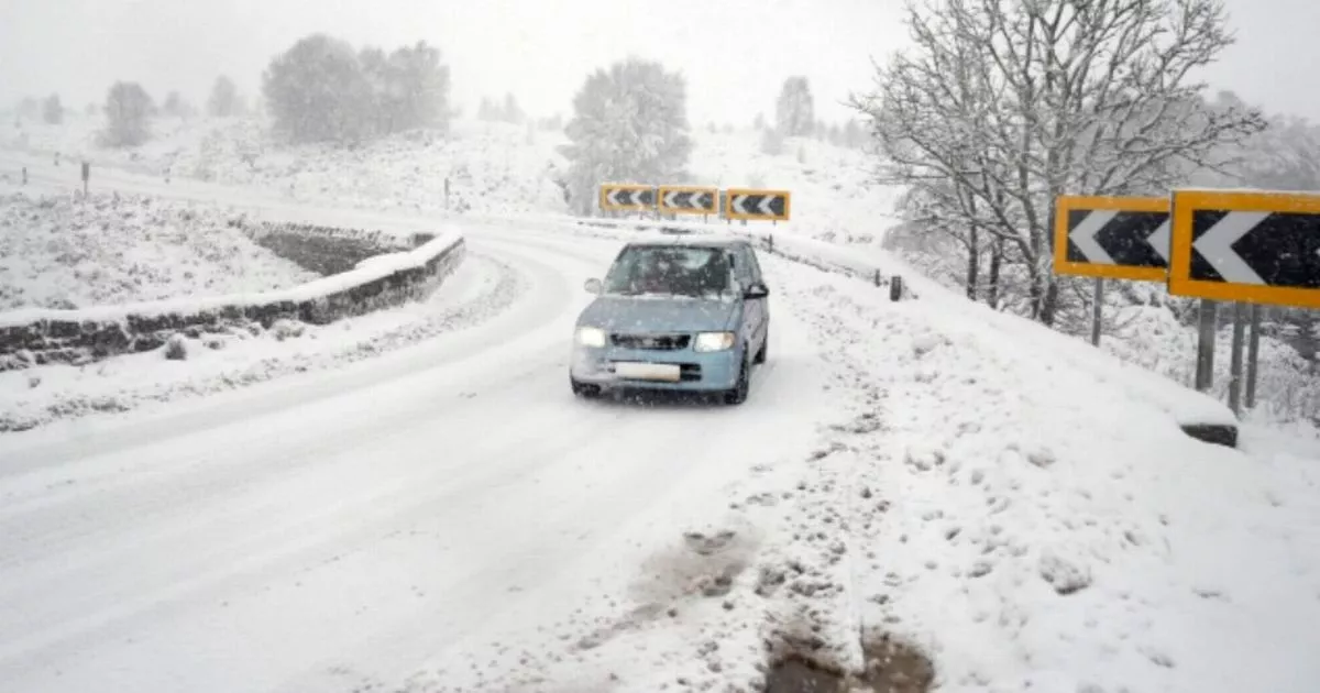
The Uk faces 4cm snow within DAYS – with England at risk as counties face a dusting of the white stuff. Snow is set to form across swathes of England on Friday, December 5, it has been warned.
At around 6pm on Friday, maps and charts from WX Charts, which use Met Desk data, show snow forming in parts of the north of England, including the Lake Distrct, before moving further south to the Midlands.
While Scotland – both centrally and in the north – looks most at risk to be worst-hit, flurries could also hit swathes of Wales and England too.
READ MORE Iceland makes change to all UK stores ‘from moment shoppers walk in’
The greatest depths on the charts, which are based on Met Desk projections, show a 4cm depth. This is likely in Scotland, but in England, flurries could fall across parts of England too.
The West Midlands conurbation, Staffordshire, Yorkshire, Cheshire, Derbyshire, Greater Manchester, Lancashire, Cumberland, Westmorland, Cumbria, Northumberland and Durham are shown on maps as having blotches of white above them – signifying snow.
The weather will worsen through the day before reaching its worst, and an epic crescendo, at around 9pm. James Madden, from Exacta, said: “Into around late Thursday and very early and also late Friday and potentially into Saturday, it has now seen an increase in its overall wintry potential in more recent runs across parts of the north and Scotland and into parts of northern England and possibly Northern Ireland (also subject to further changes over the coming days).”
He said: “Thursday could actually also feel quite cold and chilly for many in parts away from the far south of the country and the low but increased risk for some early wintry showers across the highest or high ground is a little more plausible than a few days ago for around Thursday.
“And it is also moderately to significantly higher for parts of the north and far north beyond or from late Thursday.
“Additionally, the current and most recent projections and model upgrades on these expected weather developments would see wintry weather or snow forming across higher ground in parts of the north and Scotland and northern England.
“At the very least, in this same from late Thursday and into early and late Friday period and the Saturday/the weekend period, particularly, during the evening and early morning periods on these dates and on the Friday, when it is likely to be colder and more favourable for these wintry conditions and snow to form and fall in these parts.”