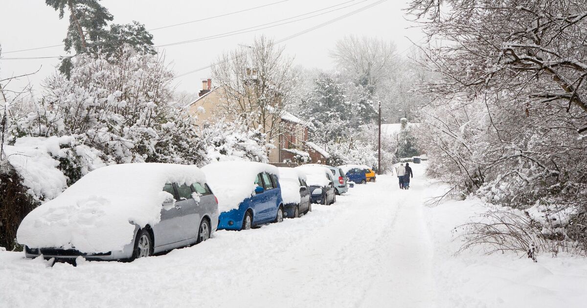
Parts of the UK could be set for a snowy first week of December, with a patch of western Scotland and southern England set for flurries of up to 2 inches later this week. Forecasts from WXCharts suggest three counties in Scotland and a handful in southwest England and Wales will get a seasonal burst of wintry weather over the next 48 hours. The new weather maps show a rainy front descending across a stretch of the western coast from around midday on Thursday, December 4, before turning into light snowfall on the Devon coast.
By 3am on Friday morning, snow depths are expected to have concentrated in a corner of the southwest, falling at around 1mm per hour near Bristol and Swansea. The snow flurries will turn to widespread drizzle across nearly the whole country on Friday evening, however, except for a stretch of Scotland, where a fresh blitz of snow is expected, reaching up to 2 inches by 9pm.
The Met Office‘s forecast for the rest of the week warns of “wet and windy” conditions in western and southern areas, moving north and east on Thursday.
The weekend will usher in sunny spells, alongside continued “blustery” weather, according to estimates, with strong winds kicking back in with full force on Sunday.
The forecaster also predicts a “continuation of unsettled conditions” into next week, with “further showers or longer spells of rain and soem strong winds affecting all parts”.
“Temperatures will generally be near or a little above average, but feeling cold in the wind and rain,” the Met Office said in its long-range forecast for December 8 to 17. “Little in the way of frost, fog and snow is expected in this unsettled spell.”