Passengers have been advised to check the status of their flight before travelling to airports.
Ten flights that were due to depart from Belfast City Airport have so far been cancelled including Aer Lingus flights to Leeds Bradford, Birmingham, Edinburgh, Cardiff and Manchester and a British Airways flights to London Heathrow.
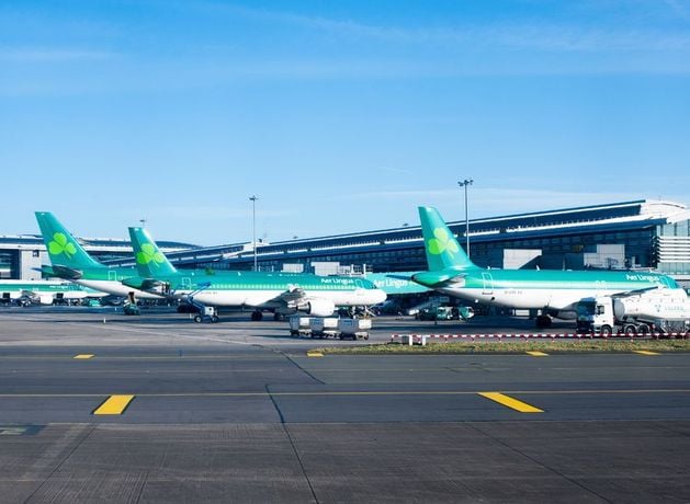
Several ferry crossings between Belfast, Larne and Cairnryan have also been cancelled, as have some flights at Dublin Airport.
The PSNI have also issued a travel warning for Northern Ireland’s roads after a night of heavy rain.
It read: “Road users are advised to reduce speed and drive with extra caution given this morning’s wet road conditions. Heavy rain has resulted in surface water and flooding of roads in many areas. Leave plenty of time for your journey – and keep a safe distance between vehicles in front.”
Meanwhile, it was announced yesterday that Belfast’s Christmas Market is to close today.
The Met Office has issued a yellow weather warning for wind, with gusts of up to 70mph possible in some places, while every county in the Republic of Ireland will be under an orange weather warning at some point today.
Officials have also put together a multi-agency plan ahead of the storm’s arrival.
The warning, which is set to impact all six Northern Ireland counties, will come into force on Tuesday morning at 9am and will remain in place until 9pm.
The Department for Infrastructure will have additional staff on standby to respond to incidents.
“Monitoring of river levels and sea levels has been ongoing and will continue until the weather warning has elapsed,” it said.
“As a precautionary measure, departmental staff are installing temporary flood defences ahead of a forecast tidal surge which will occur close to the time of the High Tide which is expected early on Tuesday afternoon.”
It added: “The strong winds could lead to power cuts, damage to buildings, fallen trees, spray or large waves on exposed and vulnerable coastal areas, as well as disruption to travel including public transport, ferries and flights.
“Due to the potential for large waves, flooding of coastal roads is also possible especially along the Co Down coast and the worst of the wind is forecast from early afternoon into the evening rush hour. Outdoor Seasonal decorations may be vulnerable to the wind.”
Belfast City Council said the Christmas Market would not open on Tuesday.
The council said: “Unfortunately due to the expected extreme weather, it will not be safe for us to open the Belfast Christmas Market on Tuesday.
“We recognise this may be disappointing, however the safety of our visitors and traders is of the utmost importance.
“At the moment the plan is to reopen on Wednesday December 10, however this is weather dependent.”
The forecaster said that Storm Bram is expected to pass close to western Northern Ireland on Tuesday and will bring some very strong south then southwesterly winds.
It warned that gusts of around 50-60mph are possible across the country, while winds of up to 70mph are possible for some exposed headlands and high ground.
There is a small chance of even stronger winds should the area of low pressure pass closer to Ireland. Winds are expected to gradually ease during Tuesday night.
The Met Office has advised the public to expect delays to transport services and further warned that cancellations are possible.
It added that there was a chance of injuries and danger to life from flying debris, as well as damage to buildings and power outages.
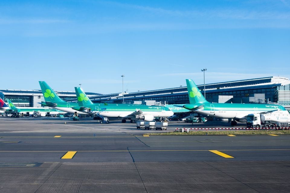
Aer Lingus planes at Terminal 2 in Dublin Airport. Photo: Getty
News Catch Up – Monday 8 December
Many areas of the UK will be affected into Tuesday, with yellow and amber warnings for wind and rain across Scotland, Wales, and parts of the North West and South West.
Status orange wind warnings have also been announced for 11 counties in the Republic of Ireland, with the entire island facing other weather advisories.