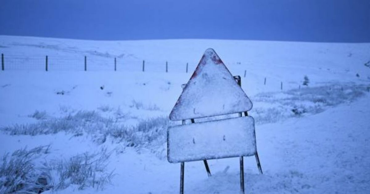
WX Charts, which uses Met Desk data, shows snow hitting swathes of the north of England on December 21, which marks the winter solstice. UK snow bomb to hit three more counties in England – meaning eight in total
The UK snow bomb has widened to include MORE counties from the initial five. WX Charts, which uses Met Desk data, shows snow hitting swathes of the north of England on December 21, which marks the winter solstice.
Initially, it was warned Cumbria, Cheshire, Greater Manchester, Lancashire and Northumberland would be hit. But now it has been widened to include Staffordshire, the West Midlands, and Durham.
As well as the Midlands, parts of south Wales could also be on the brink of a dusting this weekend, maps and charts – based on the GFS advanced modelling system – also show.
READ MORE Premium Bonds holders urged to consider withdrawing cash from NS&I
Looking ahead to the coming weekend, Netweather TV’s Jo Farrow said: “The cold front will bring heavier rain as it arrives from the west. Gales are expected through the Irish Sea and the Minch as northern Scotland, particularly the northeast, could experience gusty winds with sunny spells to the lee of high ground.
“Southeastern Britain will stay cold and grey with a bit more of a breeze picking up through the day. There will be the rain band heading over Wales, northern England and into SW England with blustery winds.
“To the northwest of this, the skies will brighten with bands of heavy showers reaching the Western Isles and NW Highlands.”
Ms Farrow said: “This will be rather similar to Monday, with a band of frontal rain extending SW/NE across Britain and drier conditions to the NW and SE of this band.
“It has been so wet in recent weeks that flooding concerns are already being highlighted, particularly for SW Britain.
“Milder air will arrive with this system, lifting temperatures into double figures. There will be blustery conditions along the south coast of England on Wednesday evening.
“Colder air will follow the main cold front but waves develop along this frontal boundary. This will slow its progress southwards and is likely to introduce some heavier pulses of rain for Thursday.”