
The mercury rose to 23.6C in Castlederg, Co Tyrone, on Wednesday as NI saw new year-highs for a second day in a row.
On Tuesday a high of 22C was recorded in Derrylin, Co Fermanagh.

Meg enjoying the sunny weather at Helen’s Bay on Wednesday. Pic: Luke Jervis/Belfast Telegraph
Neither has come close to cracking NI’s all-time high for April of 24.5C, which was recorded at Boom Hall, Derry in 1984.
Despite that, people across the country made the most of the opportunity to get outside and enjoy the sunshine.
Some of the popular spots for families enjoying the mini-heatwave included Helen’s Bay in Co Down, which was packed with people cooling off in the sea.

Joseph and Hollie enjoying the sunny weather at Helen’s Bay beach on Wednesday. Pic: Luke Jervis/Belfast Telegraph
The UK and Ireland have been basking in sunshine this week as the spell of dry and sunny weather set in, but according to the Met Office, that is set to change towards the end of the week.
“Temperatures will now take a downward trend over the next few days and the bank holiday weekend,” said a spokesperson.
“A weak weather front will slip slowly southwards on Thursday leading to a rather cloudy day with a few scattered showers, eventually clearing southeast by the afternoon.
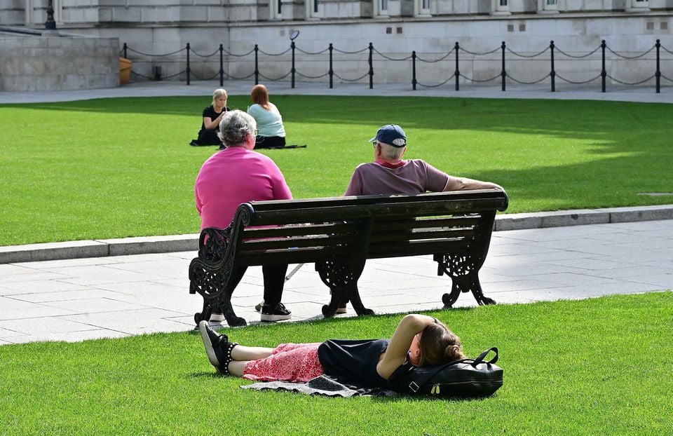
People enjoying a great sunny day at Belfast City Hall. Pic: Arthur Allison /Pacemaker Press
“Some brighter spells to follow with perhaps some late afternoon sunshine, but with a predominantly north-westerly wind, it will feel cooler than earlier in the week. There will be highs of 15C.”
Things will turn chillier into the weekend, leading to some isolated spots of frost for the Bank Holiday.
“High pressure will begin to build from the west over the weekend, leading to a mainly settled outlook, though with rather cloudy skies at times,” said the Met Office spokesperson.

People enjoying the sunny weather at Helen’s Bay on Wednesday. Pic: Luke Jervis/Belfast Telegraph
“A few showers are likely to spread southwards through Saturday, but some brighter breaks are possible as well, especially by Sunday and into Monday.
“Temperatures continuing to fall by day, with highs between 12-14C over the weekend.
“We are also likely to see the return of some chilly nights, with the risk of a frost in rural spots over the weekend.”
Speaking about the weather into the weekend and beyond across the UK, Met Office meteorologist Alex Deakin said there is a general change on the way.
“The pressure will generally remain high through the next week or so but the temperatures not so much,” he said.
“We are going to see quite a change as we go through the weekend. We will see a shift in the position of the high over the next few days and the one out west will become more dominant.
“We will say goodbye to the exceptionally warm conditions we have at the moment. A cold front is introducing the cooler conditions that will spread south through Wednesday night into Thursday across the north.
“It’s not really until the weekend the warmth disappears.”
Meanwhile, in the Republic temperatures climbed to 25C across the country, with 25.8C at Athenry, Co Galway, matching the highest temperature ever recorded in Ireland in April.