WX Charts maps and charts, which uses Met Desk data, shows England turning white with two of the Home Nations set to be hammered by flurries.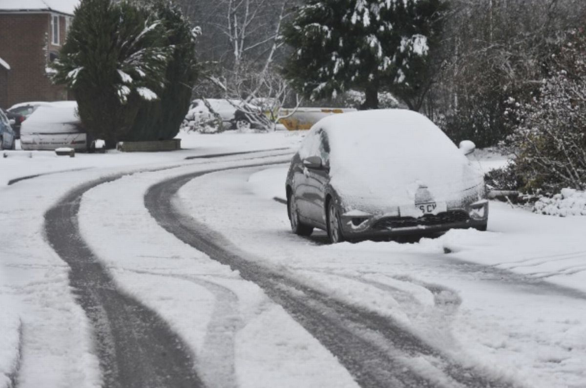 UK snow maps show 4 inch blizzard bringing -4C temperatures to Birmingham
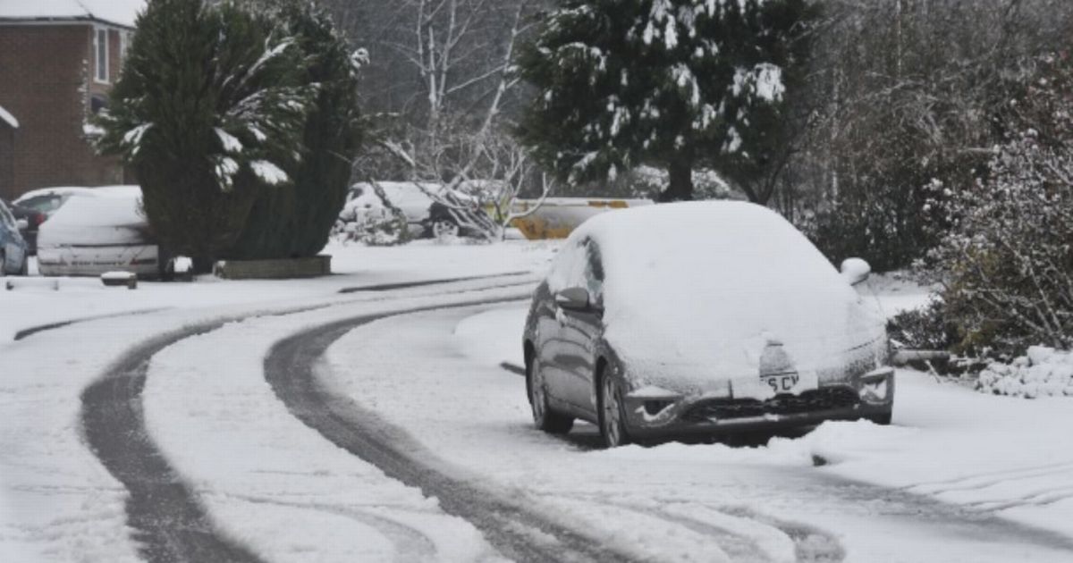
UK snow maps show a -9C blizzard dumping four inches on England. WX Charts maps and charts, which uses Met Desk data, shows England turning white with two of the Home Nations set to be hammered by flurries.
Maps and charts show snow bringing -9C to Scotland in and around January 3, after Christmas and the New Year. Areas at risk in England include rthe East Midlands, North East and East Anglia.
In Scotland, areas at risk include major cities like Edinburgh and Glasgow, as well as other areas like Inverness, Aberdeen, Wick and Dundee. Areas could face between 5cm and 10cm of snow, with the worst of the weather earmarked to hit the Highlands.
READ MORE Major UK bar chain collapses into administration
Scotland will see widespread snow, measuring between 1cm and 10cm, while England faces up to 8cm at times, with everywhere from Nottinghamshire and Derbyshire to Yorkshire, Norfolk, Suffolk hit.
Temperatures will drop to -9C in the Highlands, which faces the coldest of the weather, as well as -8C conditions in major cities like the capital city of Edinburgh.
-4C is likely at a more widespread level, with Northern Ireland facing -3C conditions. Wales will see -5C lows, while England faces up to -7C conditions in places.
The Midlands including Birmingham faces -4C. Netweather TV’s Nick Finnis said: “At the moment, high pressure looks to be too close to the north and the easterly flow is not particularly cold aloft, so snow looks unlikely on Christmas day, as it will be mostly dry.
“However, the easterly flow will bring a shallow layer of cold and dry continental air which could pick up enough moisture to bring low cloud thick enough to produce some drizzle or even some wintry precipitation inland and over higher ground in the east.
“Sunshine amounts on Christmas Day are uncertain, but probably the best chance may be in the west, with eastern areas perhaps at risk of low cloud off the North Sea.”
He went on: “For now, current model output suggests that high pressure will remain close to northern UK, perhaps drifting further west, this may keep the UK and Ireland locked in cold easterly, northeasterly or northerly flow, so temperatures staying below average.
“Looking mostly dry for now, but potential that rain, sleet or even snow could push in from the northeast or north around the high pressure. Certainly it looks like Atlantic low pressure systems will most likely be blocked and kept at bay.”