Temperatures could drop to as low as -3C, the maps and charts from WX Charts – which uses Met Desk data – shows. UK snow bomb date brought forward with six hours of flurries set for England
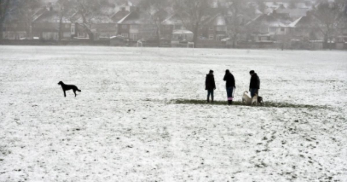
The UK faces six hours of snow just after Christmas – with the white stuff likely to hit from December 27. The date the snow hits has been brought forward from initial reports of January 3 or January 4. Temperatures could drop to as low as -3C, the maps and charts from WX Charts – which uses Met Desk data – shows.
The UK faces snow with -3C conditions, just 48 hours after Christmas Day. The snow will take a downturn from next Sunday, according to the advanced modelling.
The wintry conditions will hit the areas at around 6am on December 27 and will continue to stay until 12pm, or midday, the maps have suggested. By the evening of December 27, the snow will melt away.
READ MORE Some drivers face ‘non-refundable’ £1,800 fee to access OWN driveway
Areas at risk in England include the North East and North West of England. Greater Manchester, Lancashire, Cheshire, Cumbria, Northumberland, Durham and Yorkshire could be blanketed by the white stuff, the weather maps have suggested.
The projections are evident on weather maps and radars, with white blotches across swathes of the north of England in the wake of December 25 and Boxing Day.
Ian Simpson from Netweather said: “The current outlook for Christmas Day has easterly winds covering the British Isles, and there is a general consensus among the medium range forecast models that these easterly winds, while bringing in some colder air, won’t be cold enough for snow in lowland parts of Scotland and probably northern England as well.
“The snow line will typically be around 300-400m in these regions, and in any case most places will be dry, with just a scattering of showers possible near eastern coasts.”
Mr Simpson added: “But further south, there is considerable divergence among the models.” He continued: “But the GFS model has increasingly been showing a pool of much colder air coming into the south of Britain, extending into the northern half of England on some runs, which would bring potential for enhanced showery activity over the North Sea and sleet and snow showers pushing inland at low levels.
“There is also potential for some longer outbreaks of wintry precipitation to affect the south-east.
“In this scenario, substantial accumulations of snow are still set to be restricted mainly to high ground, but a fair number of us could end up seeing falling snow on Christmas Day and maybe a dusting on the ground for a time.”