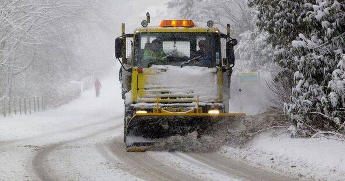
New weather maps from WXCharts show snow could fall across Manchester, Lancashire and parts of West and North Yorkshire with flurries possible in areas of southern Cumbria and western County Durham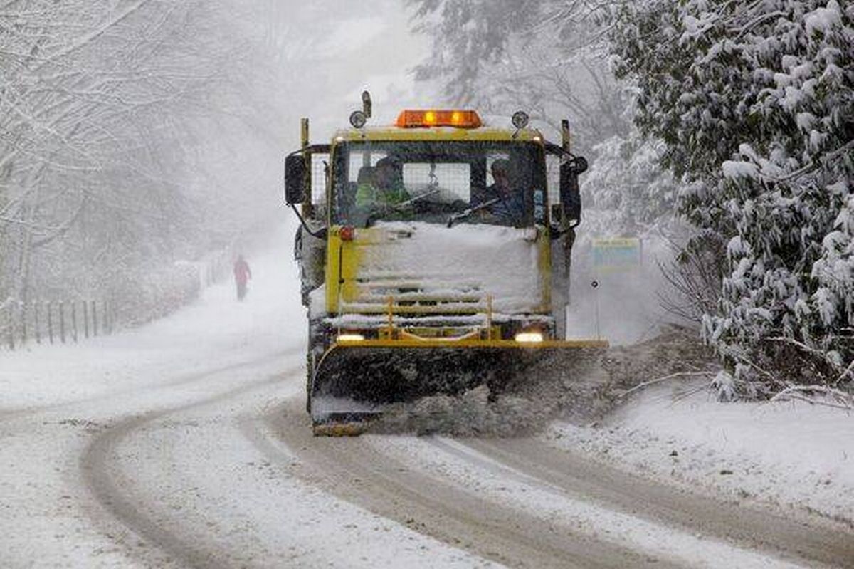 The snowfall is predicted to start around 6am and continue for several hours(Image: Getty)
Parts of England are bracing for several inches of snowfall in the coming days, according to new weather forecasts.
Weather maps, released by WXCharts, show that snow is expected to fall across as many as six English counties and settle up to two inches deep.
Areas that could be affected include Greater Manchester, Lancashire and parts of West and North Yorkshire. The snowfall could possibly also stretch into areas of southern Cumbria and western County Durham.
The snowfall is predicted to start around 6am on Monday January 5 and last for more than 12 hours, according to the snow depth predictions. At its deepest point the snow could be two inches high over high ground in the Peak District and the Yorkshire Dales. Temperatures are set to drop across the board a couple of days before the predicted snow, with some spots seeing lows barely above 0C. The coldest temperatures will be felt in Scotland with the Highlands and Perth and Kinross expected to endure wintry lows of -9C at 3am.
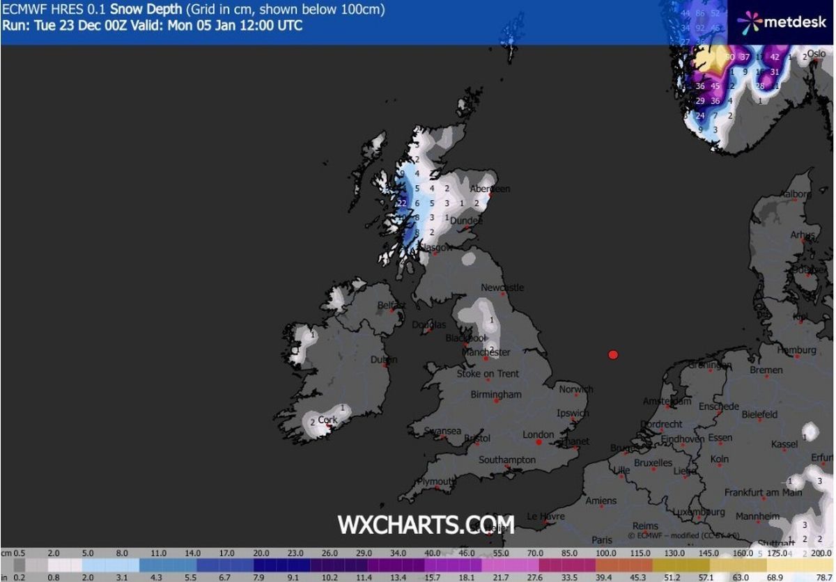 High ground north and east of Manchester is due to see up to 2 inches of snow
Large parts of Yorkshire and the Humber and the North West are bracing for -4C. North Wales could also see temperatures plunge to -4C, while Cardiff and Swansea are likely to experience a chilly -1C.
Temperatures are forecast to hover between -2C and -1C in traditional milder areas of the country, London, the South West and East of England.
The Met Office forecast for the period from Sunday December 28 to Tuesday January 6 says: “High pressure is likely to dominate across the UK at the start of this period and through to the end of the year.
“This means that weather conditions will be largely settled and for many places it will remain dry. It may often be rather cloudy, but any rainfall that does develop is expected to be light with overall accumulations small. Winds will mostly be light with temperatures close to or slightly below normal.
“Into 2026, little change is anticipated through the first week of January, with settled and mainly dry conditions continuing for many parts of the UK. However, there is a small chance that more unsettled, wetter and milder weather could develop at times, particularly in the north.”