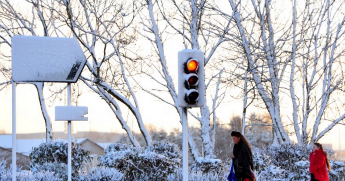
Weather maps, released by WXCharts, show that snow is expected to fall across as many as six English counties All the parts of England facing snow for 12 hours – and it’ll be 2 inches deep
All the parts of England facing snow for 12 HOURS have been revealed by new weather maps and charts. Weather maps, released by WXCharts, show that snow is expected to fall across as many as six English counties and settle up to two inches deep.
Greater Manchester, Lancashire and parts of West and North Yorkshire are at risk, as well as Cumbria, Northumberland and Durham too. The snowfall is predicted to start around 6am on Monday January 5 and last for more than 12 hours.
Maps from WX Charts, which uses Met Desk data, shows the white stuff could be two inches high over high ground in the Peak District and the Yorkshire Dales. During the snow bomb, temperatures in Scotland could drop to lows of -9C at 3am.
READ MORE Drivers face being taxed twice under new pay-per-mile car tax plan
In England, Yorkshire and the Humber and the North West are bracing for -4C. North Wales could also see temperatures plunge to -4C, while Cardiff and Swansea are likely to experience a chilly -1C.
And maps also predict the Midlands and southern England could also be impacted by the snowy weather. Snowfall as far south as Devon, Cornwall and even Greater London had been predicted.
Despite this, the maps have suggested the place worst affected by this potential snowfall is Ross and Cromarty as well as Invernessshire. As much as 10.2 inches (26cm) could fall in one day in those areas, according to maps.
Looking from December 29 to January, the BBC says: “Next week, high pressure dominance should ensure a continuation of mostly dry weather for a few days, with just the chance of passing showers here and there.
“Temperatures will stay similar, so they will mostly be a little below average with further frosts. With high pressure most probably drifting towards Iceland or the eastern North Atlantic, winds should end up blowing from the north to north-west.
“The following weekend is an uncertain and potentially transitional period. There may be a chance of a low pressure trough getting caught up in the north to north-westerly flows, delivering some showers or a longer period of rain, especially across northern areas, Scotland and Northern Ireland in particular, with some wintriness over higher ground. Temperatures will remain near or just on the colder side of average.”