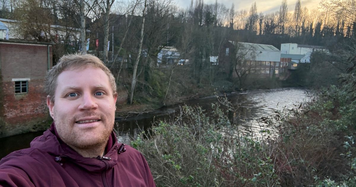
It’s an iconic landmark, but more people could be benefiting from it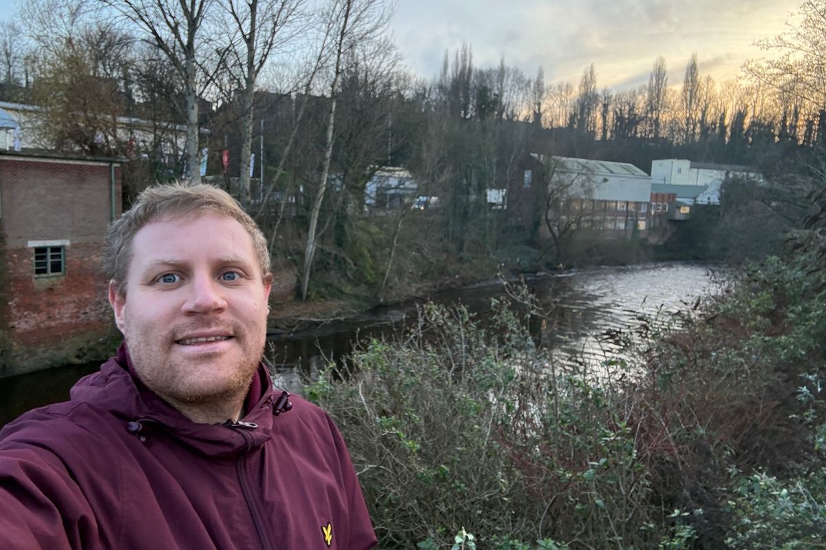 Reporter Chris Slater on part of the new Mersey Valley Way National River Walk(Image: Manchester Evening News)
Initially, it felt far from peaceful. I was stood on the Howard Street bridge in Stockport, underneath which the River Mersey starts. Traffic from the M60 was rumbling overhead.
Just a couple of minutes later I was next to the famous Lancashire Bridge, surrounded by the hustle and bustle of the town centre. I headed past the busy Merseyway shopping centre, which is built on a 500-metre long culvert over the river, and past the new bus station, built right next to the river.
I followed the pavement onto King Street West and headed towards the Acorn Business Park. Here the atmosphere changed completely and a sudden feeling of tranquility descended.
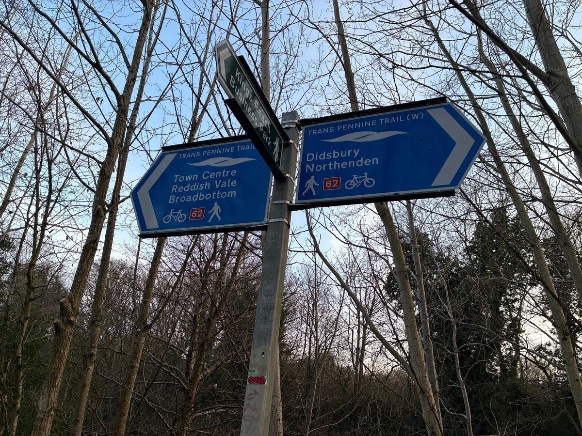
I had just started joined the paved bridleway which leads along the riverbank towards Cheadle Heath and Heaton Mersey. A long stretch of the walk along the banks of the Mersey has now earned national recognition, with the government confirming it as the site of the first ever designated National River Walk.
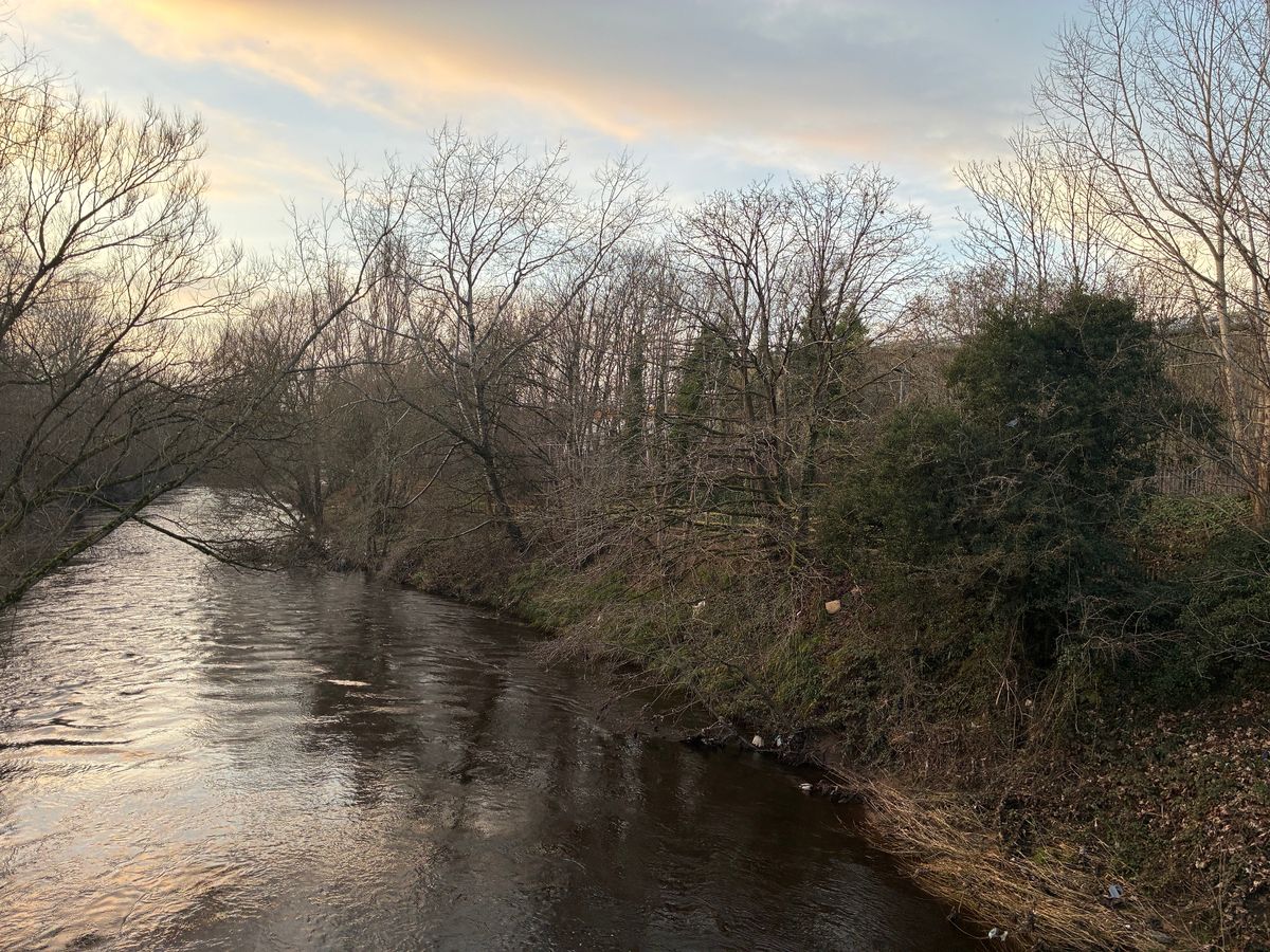
 The River Mersey flowing underneath Stockport Viaduct(Image: Manchester Evening News)
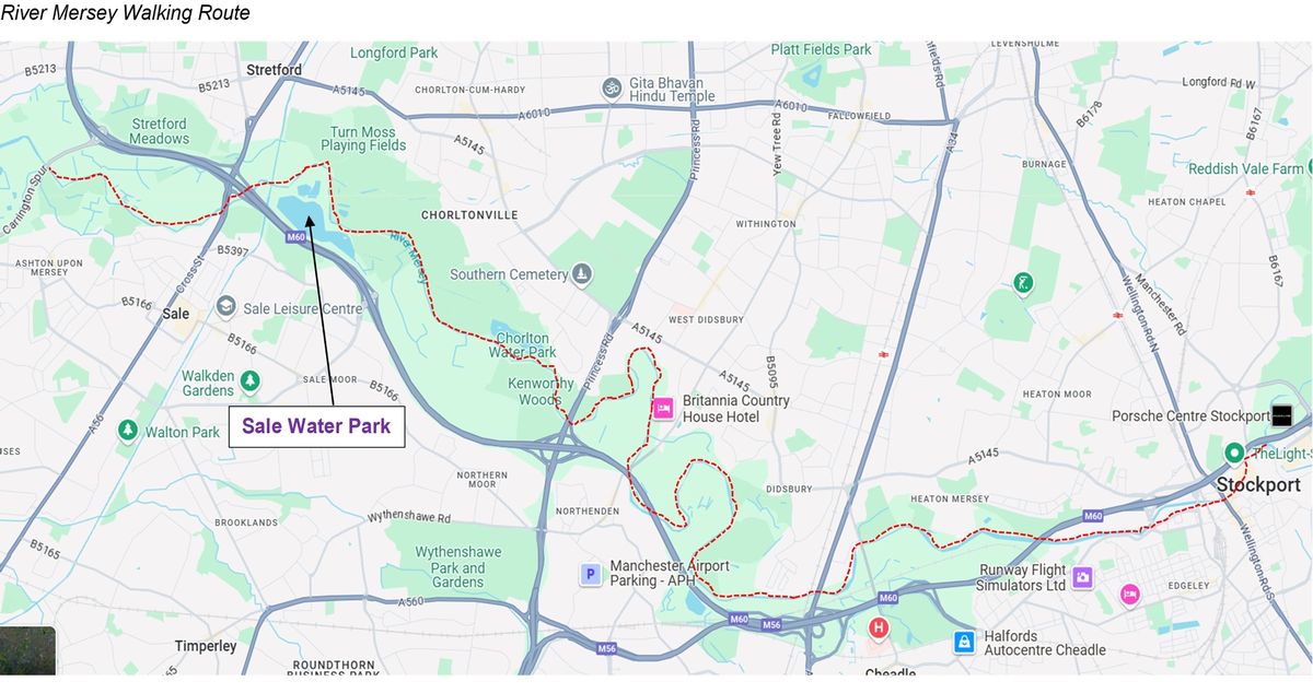
The route stretches 21km, just over 13 miles and the equivalent of almost half a marathon, through Didsbury, Northenden and Chorlton in south Manchester, and Sale and Ashton upon Mersey in Trafford.
In its manifesto, Labour promised to establish nine walking routes, one for each of the regions of England. And the ‘Mersey Valley Way’ has today (Boxing Day) been officially named as the first.
Funding will see signs installed to mark it out as a National River Walk. A competition to design the logo is underway involving more than 50 local schools.
Stretches of the existing river path will be upgraded to meet accessibility standards for wheelchairs, mobility scooters, prams, cyclists and horse-riders, the government says.
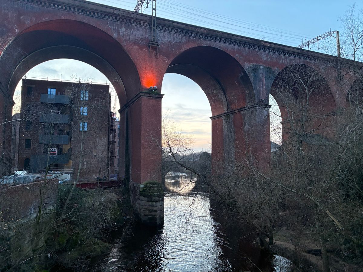
 The paved bridleway which runs along the Mersey, near Cheadle Heath in Stockport(Image: Manchester Evening News)
Recovery work including pond restoration, invasive species removal, tree planting and the installation of bird, bat and insect boxes are also all planned, as well as the introduction of guided walks. Whilst foot counters will also be installed to monitor usage.
I walked the first section of the route, from the source of the river in the Stockport town centre, to the stretch near Cheadle Heath Park, covering just over a mile and a half in just over half an hour.
Once I joined the bridleway, which begins off Heaton Lane and is also part of the Trans Pennine Trail and National Cycle Route 62, it was like I had been picked up and dropped somewhere several miles away in the countryside.
Strolling along the paved and lit path, the river bobbed along to my left. The traffic from the M60 faded into a quiet hum. I found myself involuntarily beginning to hum The Stone Roses classic ‘Mersey Paradise.’
 The 21km route runs from Stockport to Didsbury, Northenden, Chorlton, Sale and Ashton upon Mersey(Image: Manchester Evening News)
The area was, remarkably, spotless, Contrary to my expectations, I didn’t spot a single piece of litter. This has been put down to the hard work of volunteers who regularly carry out litter picks along the route. There was the odd bit of graffiti, including on some of the current signage, but that was the only blemish, and other types of anti-social behaviour are claimed to be rare.
All in all, it made for an extremely pleasant and relaxing interlude to my day. The tranquillity was only briefly interrupted on the footbridge behind Stockport Pyramid, where the traffic from the neighbourhood roundabout could be more loudly heard. Slightly further down, the river gushed over some rocks, but that merely served to remind me where I was as the mind wandered.
Heading into rush hour on a working day, it was very quiet with just a couple walking hand-in-hand and two dog walkers passing me. And I couldn’t escape the feeling that this should really be used more. Whether that be as a means to get from A to B, or simply as a place to briefly escape the sights and sounds of town and city life.
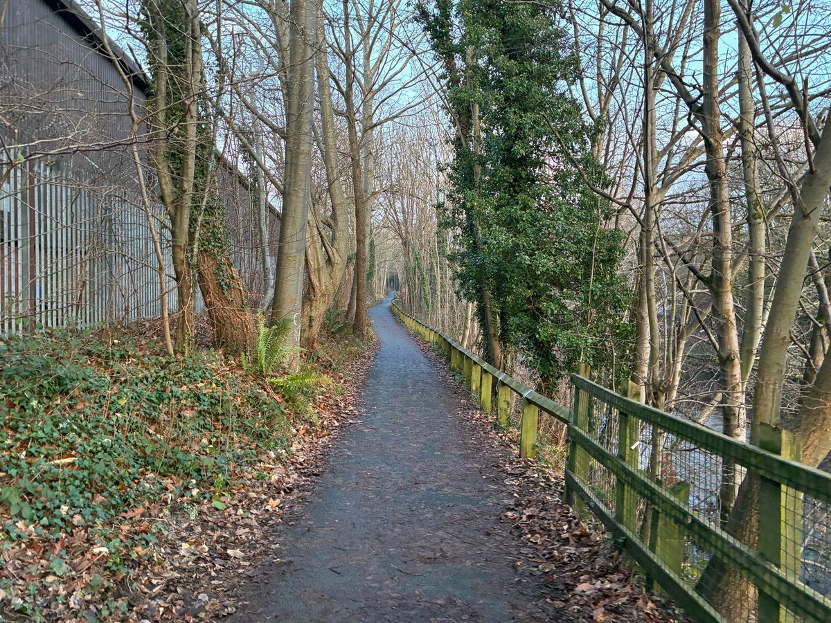
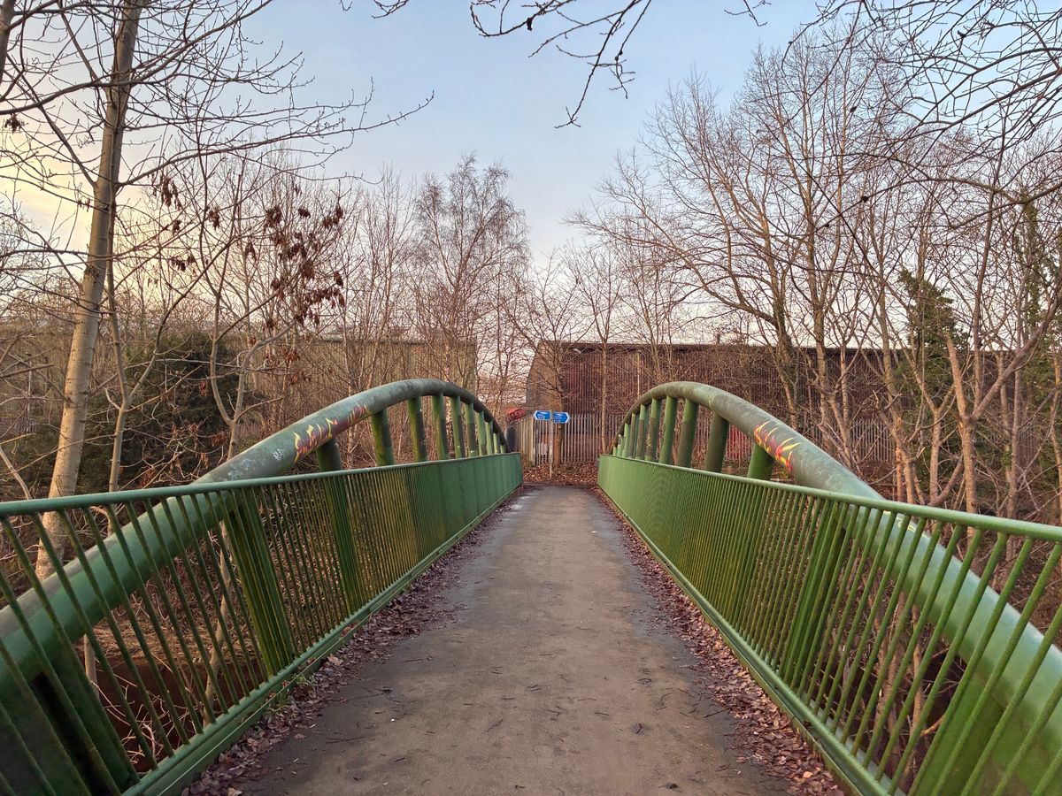 The footbridge to access the route near Cheadle Heath Park
John Sanders agrees. He is the Strategy and Development Direct at the Mersey Rivers Trust, who promote improvements to the river. They are partnering with the government on the Mersey Valley Way project.
“I’m biased but spending time near a river is really good for mental health and wellbeing” he told the Manchester Evening News. “It just gives you that extra lift everyday. We’ve got fish in the river. It’s a tranquil place away from the hustle and bustle of Manchester. I use it very often myself as a Trafford resident.
“We just hope that more people will come and use it. It’s a free resource. People can get out and about in the fresh air, be that a half a mile walk, or the full 21km.”
He said the Stockport section was one of the better used stretches of the route, including by commuters heading to work in the town centre. However he said other sections, for example some in Trafford, are currently ‘under used.’.
 A spokesperson for a charity involved with the project said spending time near rivers is great for mental wellbeing
Some sections saw their paths damaged in the devastating New Year’s Day floods at the very start of the year. A large part of the repair work to restore them has now been completed. However, he said: “There’s still more work to be done. This is hopefully the first step in improving that access along the river.
“The Stockport section is being upgraded as we speak and people should see some differences over the coming weeks. And obviously this funding will help us further promote the walk. That’s the priority for us. Particularly those communities who have never been down to the river before, and may never have experienced the benefits of being near a river.”
The government says people on lower incomes are ‘spending significantly less time in nature’ and that the new river walk ‘will help people least likely to access to the great outdoors to access all of the health and wellbeing benefits it can offer.’
 The Mersey Valley Way route (Image: DEFRA)
Baroness Sue Hayman, Access Minister, said: “Nature is a huge source of pride and enjoyment for people across the country, but too many people struggle to find ways to access the outdoors.
“We are changing that today, delivering on our manifesto pledge by launching the first of nine new national river walks, boosting opportunities to be in nature and supporting local businesses that line the routes.
“The Mersey Valley Way offers 21 kilometres of new paths for people in Manchester and Stockport to explore, be outdoors, and enjoy the nature on their doorstep.”
The full Mersey Valley Way route
- Starting at Stockport Town Centre (start of River Mersey at Howard Street Bridge), the route commences along the pedestrianised Merseyway Shopping Precinct passing. Following the public pavement from Stockport Interchange to the King Street West bridge, it joins the bridleway near Heaton Lane and continues to the A5145 underbridge, near Stockport Pyramid.
- From there it continues to Vale Road in Heaton Mersey where the river walk crosses the Mersey Vale Nature Park
- It then heads to the boundary of Stockport and Manchester, near Burnage rugby club.
- From there, you have to cross the B road at the Cheadle Bridge, at Manchester Road near Parrswood, before the route continues to the A34 and the Kingsway Bridge
- From there it continues to Simon’s Bridge, near Didsbury Sports Ground and Didsbury Golf Club, passing near to Fletcher Moss Park in the process
- From Simon’s Bridge it heads to Northenden Weir, next to Northenden Riverside Park
- From Northenden Weir it continues to near Merseybank Playing Fields, next to Princess Road
- From the Princess Road underbridge, it passes Kenworthy Woods and Chorlton Water Park as it heads to Jackson’s Boat footbridge, on the border of Sale and Chorlton
- From Jackson’s Boat footbridge it heads to the border of Manchester and Trafford, near Sale Water Park
- From there it heads to the A56 Crossford Bridge in Sale. There is no riverside path between Barfoot Bridge and the Crossford Bridge so the route heads under the tramline and Bridgewater Canal in Stretford to the A56, and uses the public highway to pass under the M60 before reaching the Crossford Bridge.
- From there it continues to the Millennium footbridge in Ashton upon Mersey, where the route ends. There is the option of continuing along the Trans Pennine Trail to Urmston train station.