The Met Office has a weather warning in place for snow and ice for Thursday and Friday, by which time some 30cm (11 inches) could build, and says travel disruption is expected
05:02, 31 Dec 2025Updated 07:00, 31 Dec 2025
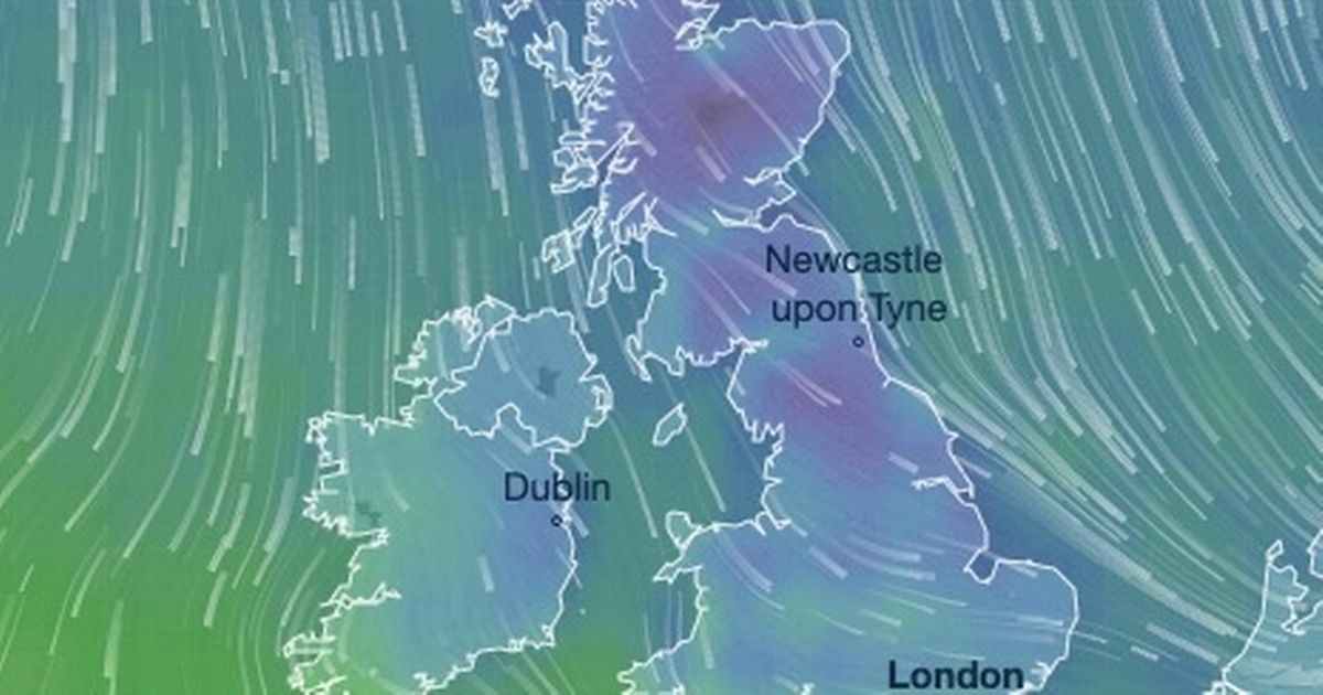
 The weather map turns blue this week as it is getting colder(Image: Ventusky)
This striking weather map is an icy blue as daytime temperatures will feel as cold as -12C this week.
Temperatures are set to drop as a northerly wind takes hold later this week. It sends snow sweeping southwards throughout Friday and into Saturday, heaviest across Scotland and north Wales at different times.
The Met Office says some 11 inches (30cm) of snow will build up by the early hours of Saturday, which will lead to travel disruption and power cuts. Air temperatures will actually range from 4C to -4C across the UK but it will feel significantly colder everywhere, particularly due to the gales.
Winds will be fiercest along the east coast on Friday morning, particularly across Humberside and Cleveland. Saturday’s gales will be even stronger, as brutal as 65mph, in and around Scarborough and Bridlington.
READ MORE: UK snow: Met Office forecasts up to 11 INCHES of the white stuff amid Arctic blastREAD MORE: Narrowboats still stranded on Shropshire Union Canal one week after sinkhole chaos Snowy scenes are pictured in Knutsford, Cheshire(Image: Andy Stenning/Daily Mirror)
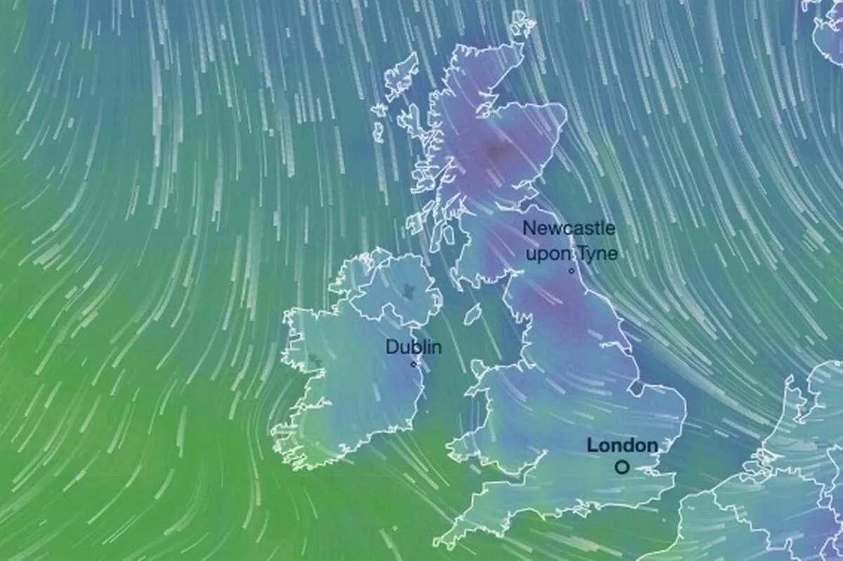
Weather maps, issued by the Metdesk, show it will snow heavily across the UK on Friday. The weather warning concerns parts of Scotland, such as Grampian, Strathclyde and Central, Tayside and Fife. These areas will see snow fall throughout the early hours of Friday.
It will then move southwards and, by 6am, it will snow across parts of the Midlands and Northwest of England. Cheshire will see a significant dumping, as will parts of Staffordshire during Friday morning. Snow will be widespread later on Friday morning with heavy snowfall in north Wales, Shropshire, Staffordshire and Warwickshire by midday.
 Snow will fall across parts of the Northwest of England and the Midlands on Friday morning(Image: Ventusky)
The band of low pressure quickly moves further southeast and, by early afternoon, residents in Essex and parts of Kent will suffer travel disruption due to snow and ice. The Home Counties, including Buckinghamshire, will see a dusting by late afternoon. During the early hours of Saturday, there will be flurries of snow across south Wales, according to forecasters at Metdesk.
The Met Office has warned Brits of “a chance of injuries from slips and falls on icy surfaces” and that “untreated pavements and cycle paths might be impassable” due to snow and ice on Friday. It says: “Showers will turn increasingly to snow through Thursday as a strong, perhaps locally gale force northerly wind sets in. Initially accumulations will mainly affect higher routes, but by evening some accumulations will start to build even to low levels, with 2 to 5, locally 10 cm of lying snow accumulating by Friday morning.
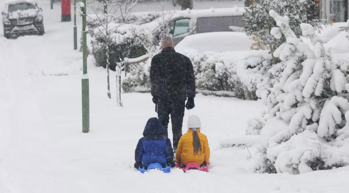 Children will get chance to enjoy the snow at the start of 2026(Image: Daily Mirror)
“Above 200m some places could see 10-20cm of snow accumulate, and on the highest routes and hills, 30cm or more may build through this period. Given the strength of the wind some significant drifting of snow is likely. Lightning may well be an additional hazard.”
The weather agency continues: “Snowy, wintry weather can cause delays and make driving conditions dangerous, so to keep yourself and others safe: plan your route, checking for delays and road closures, amending your travel plans if necessary; if driving, leave more time to prepare and check your car before setting off; make sure you have essentials packed in your car in the event of any delays (warm clothing, food, water, a blanket, a torch, ice scraper/de-icer, a warning triangle, high visibility vest and an in-car phone charger).”