
Many parts of Wales will wake up to a weekend of snow flurries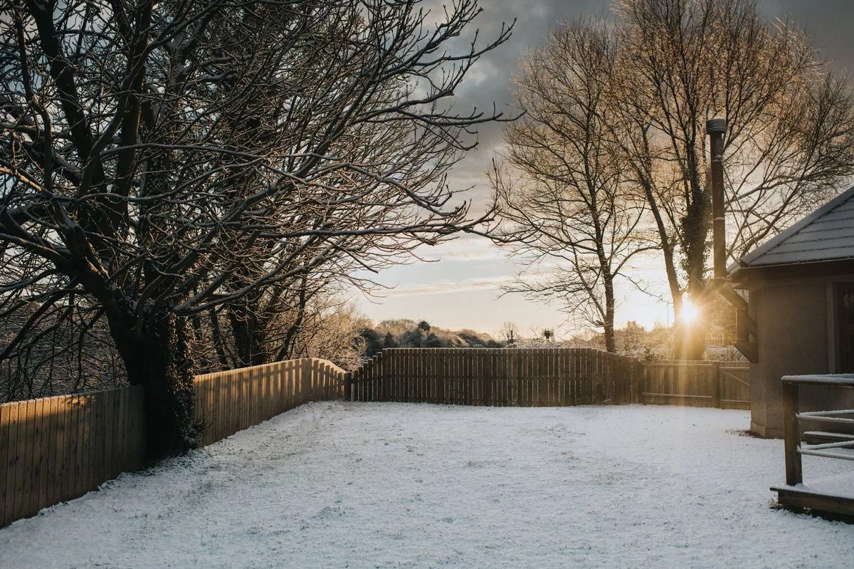 Arctic air brings a prolonged spell of very cold weather for the start of January(Image: Getty Images)
A chilly weekend is on the way with parts of Wales forecast to wake up to snow flurries or sleet on Saturday, January 3. Forecasters say areas in north and west Wales will be the coldest while the south and east will be drier with maximum temperatures of 5 °C. As much as 8cm of snow may fall in higher areas.
Parts of Wales from from the Llyn Peninsular down to St David’s could see snow and sleet with temperature plunging to -3°C in some areas and highs of 5C as Arctic air brings a prolonged spell of very cold weather for the start of January.
The Met Office warns that continuing wintry showers in the west will bring the chance of icy patches on untreated surfaces. Read the biggest stories in Wales first by signing up to our daily newsletter here.
 This is the weather at 7am on Saturday
The Met Office warns that continuing wintry showers in the west will bring the chance of icy patches on untreated surfaces. Read the biggest stories in Wales first by signing up to our daily newsletter here.
A warning for snow and ice comes into force on Sunday afternoon for a large stretch of north Wales and will be in place until Monday morning.
The Met Office warned: “Snow and ice has the potential to cause disruption to travel in places from Sunday evening through to Monday morning.”
A yellow warning for snow and ice will remain in place until 12pm on Saturday and covers an area stretching right across Wales from Anglesey in the north to across the west and to Blaenau Gwent in the south. Cardiff and Swansea are also covered by the warning.
 At 8am some people will wake to snow flurries
The Met Office has warned there could be some travel disruption. As the weekend continues there will be wintry showers in the west bringing the risk of icy patches on untreated surfaces.
It will be drier in the east with plenty of sunshine. Still cold, particularly with the ongoing breeze.
 Met Office weather map showing snow for some areas at 7am on Saturday
The outlook for Sunday and Monday is similar, Wales will be cold but largely dry with winter sunshine by day and frost by night.
The week will start cold but it will be cloudier on Tuesday with some rain and hill snow possible, say forecaster.
Chief Met Office forecaster, Neil Armstrong, said: “With Arctic air now covering most of the UK very cold weather will continue through the weekend, with minus double figures overnight in places and daytime temperatures struggling to rise above 0°C for some.
“It looks like this cold spell could last well into next week and wintry hazards will continue with more weather warnings likely. It is therefore important people keep up to date with the latest forecast and warnings and plan ahead.”
Get daily breaking news updates on your phone by joining our WhatsApp community here.