Yellow weather warnings have been issued for swathes of the country, including much of Greater Manchester
22:13, 04 Jan 2026Updated 23:05, 04 Jan 2026
 There may be disruption to travel(Image: Sean Hansford | Manchester Evening News)
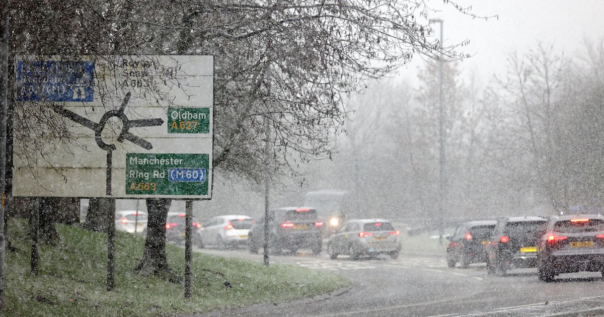
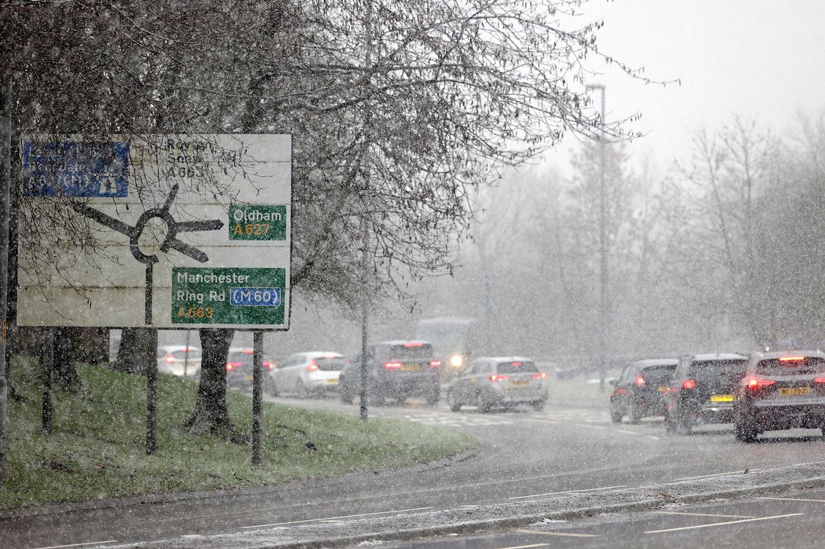
A warning over delayed travel has been issued ahead of another snow and ice warning in place for Greater Manchester on Monday (January 5). Yellow weather warnings have been issued for swathes of the country, including much of Greater Manchester.
They came into force on Sunday (January 4) at 10am, and are expected to last until midday on Monday. The warnings warn of snow and ice causing disruption to travel and the possibility of injuries from slippery or icy surfaces and roads.
The Met Office’s warning says: “Snow showers are expected to push further inland across Wales, parts of northwest England, the West Midlands and southwest England during Sunday afternoon and evening. Along windward coasts, some rain and sleet is likely, but inland showers will fall as snow.
“Whilst not all locations in the warning area will see snow, 1-3 cm could develop in many places by Monday morning, with the potential for 5-8 cm to build up in a few locations. Icy stretches are likely to form widely.”
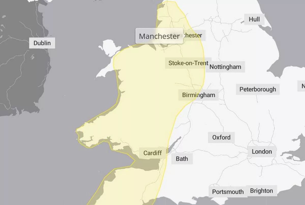 Manchester was covered by the yellow weather warning(Image: Met Office)
In Greater Manchester, much of the region is covered by the yellow snow and ice warning until 12pm on Monday. It warns of possible disruption to road and rail travel due to the freezing conditions.
“Some roads and railways likely to be affected with longer journey times by road, bus and train services,” the update read. “Probably some icy patches on some untreated roads, pavements and cycle paths.”
A National Rail spokesperson said: “Please check National Rail Enquiries before you travel on Monday morning. We’ll do all we can to keep you safely on the move, but it’s going to be very cold. Snow and ice can affect services. Take care while travelling, you’ll need your big coat.”
Matthew Lehnert, Met Office Chief Meteorologist, said: “As we begin the first full working week of the year, we face a range of winter weather hazards with snow showers and ice. Snow showers, ice and frost are expected at times but milder air will make attempts to spread eastward from Tuesday.
“This will mean rain becomes more likely in the south, but there is also the possibility of more organised snow along the boundary of the mild and cold airmasses. Strong winds could also be a feature later in the week.”