Image: Shutterstock
Save
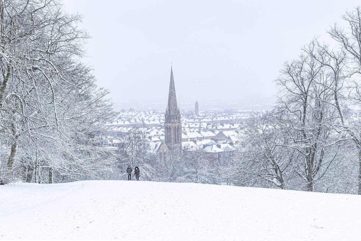
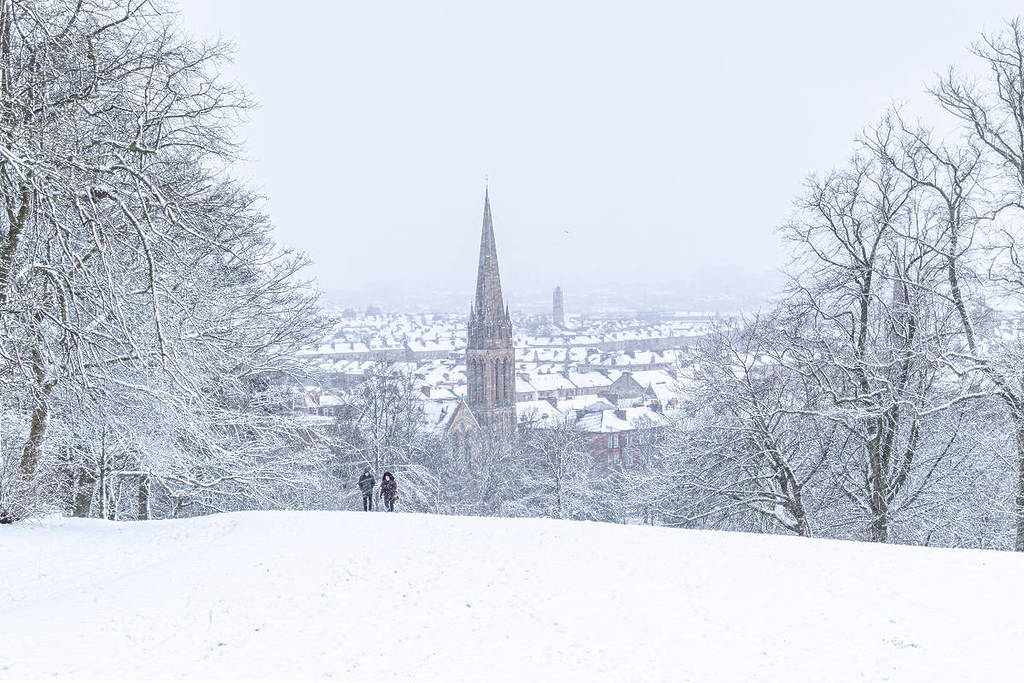
Glaswegians have been enduring a cold snap over the last few days, and it’s safe to say the heating is on full blast, and the blankets are a mandatory addition to one’s outfit. However, we are not out of the breezy weather just yet, as the Met Office has issued a Yellow Weather Warning for Snow and Ice starting from tonight (January 5), which includes Glasgow.
The exact times of the Yellow Weather Warning for Snow and Ice
The Yellow Weather Warning for Snow and Ice is in place from midnight on Tuesday, January 6, lasting until 11am.
Could there be actual snow in Glasgow?
According to BBC Weather, yes, light snow is forecast from midnight, lasting until 4am, before turning to sleet onwards. So, the snow covering on the ground is unlikely to last in Glasgow by the morning. During the day, Glaswegians can expect rain as temperatures go back up to 6 degrees. What is more, there is a significant ice risk due to temperatures dropping to as low as -5.
The Met Office said about tonight and Tuesday (January 6): “A dry evening with clear spells and sharp frost. Then clouding over with patchy rain, sleet and snow, the snow becoming confined to higher ground. Ice risk. Minimum temperature -5 °C.
Cloudy with patchy rain and hill snow, with some more persistent rain arriving during the afternoon. Freshening southwesterly winds and somewhat milder. Clearer and colder again at night, ice risk. Maximum temperature 6 °C.”
What to expect during the Yellow Weather Warning for Snow and Ice
During the weather warning for snow and ice in Glasgow, locals should take care in icy conditions, as slips and injuries become more likely due to the icy conditions. Additionally, commuters are urged to plan ahead when travelling and to expect delays on all modes of transport.
The Met Office said: “An area of mainly light snow will move east across southern Scotland into northern England on Tuesday morning before largely fading and clearing during Tuesday afternoon. A few heavier bursts are possible over the Southern Uplands, the Lake District and the northern Pennines.
Most places will see no more than 1-2 cm of snow but a few places over higher ground in the Lake District, northern Pennines and Southern Uplands may see up to 5 cm. This will fall onto frozen surfaces, resulting in some icy conditions and could lead to some disruption, particularly to travel over higher routes in the north of the warning area.”
Affected areas Central, Tayside & Fife
SW Scotland, Lothian Borders
Strathclyde
Yorkshire & Humber