The cold snap is continuing in the coming days and will bring ongoing disruption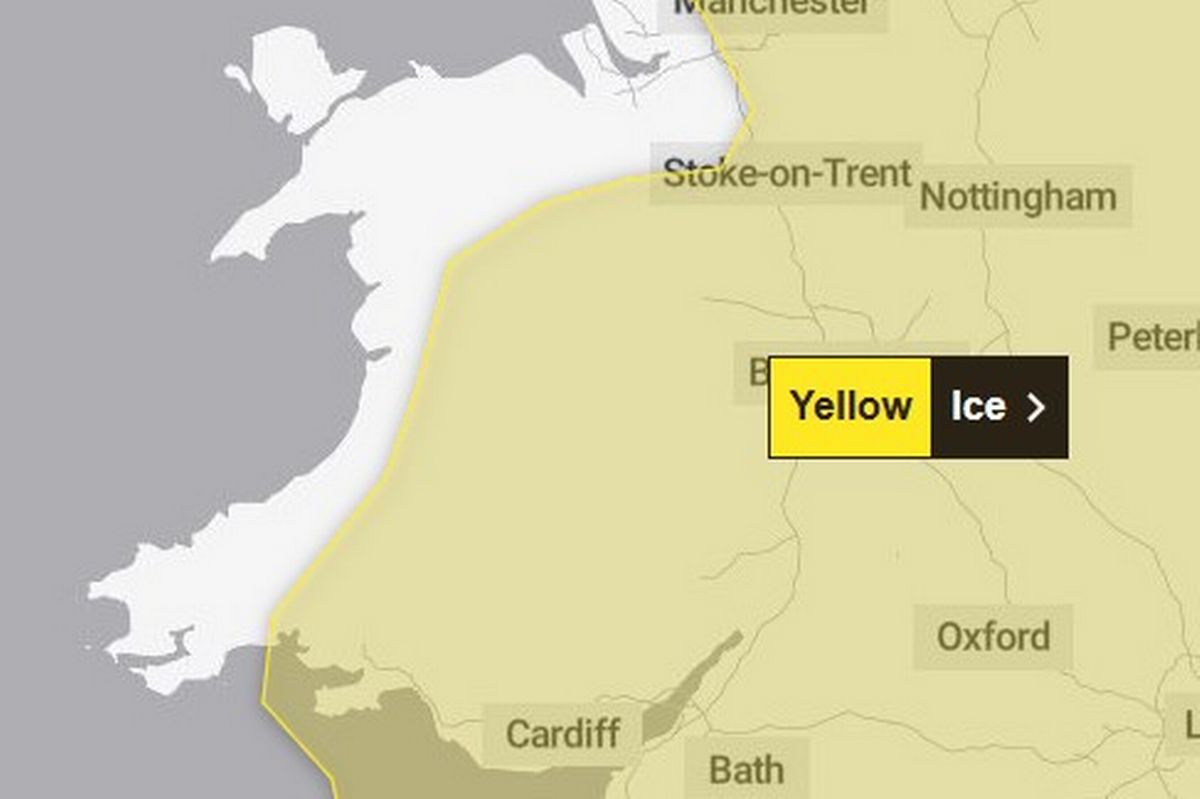 A fresh weather alert has been issued(Image: Met Office)
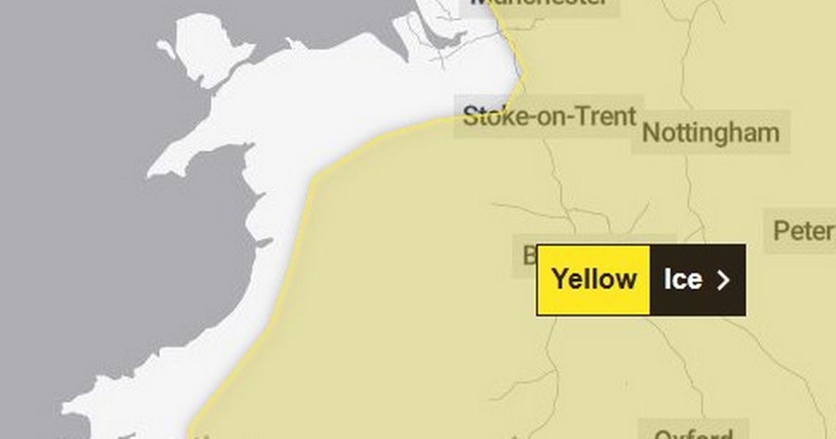
A fresh 10-hour weather alert for ice has been issued for parts of North Wales by the Met Office. The yellow alert starts at midnight tonight and lasts until 10am tomorrow (Wednesday).
People have been warned to beware of injuries from slips and falls, with icy patches on some untreated roads, pavements and cycle paths.
It comes after rain showers are forecast this afternoon in parts of the region, mixed in with some snow, which is then set to freeze overnight when temperatures drop.
A Met Office forecast said: “Following a band of precipitation which clears southeast overnight, clear skies will develop for many areas on Tuesday night [and] will lead to icy patches on untreated wet surfaces.
“This could lead to some minor disruption especially on Wednesday morning.”
What Should I Do?
The Met Office says: “Keep yourself and your family safe when it is icy. Plan to leave the house at least five minutes earlier than normal. Not needing to rush, reduces your risk of accidents, slips, and falls. “If you need to make a journey on foot, try to use pavements along main roads which are likely to be less slippery. Similarly, if cycling, try and stick to main roads which are more likely to have been treated. “Give yourself the best chance of avoiding delays by checking road conditions if driving, or bus and train timetables, amending your travel plans if necessary.” Be prepared for weather warnings to change: when a weather warning is issued, the Met Office recommends staying up to date with the weather forecast in your area. Sign up for the North Wales Live newsletter sent twice daily to your inbox
More winter weather on the way?
The latest alert comes amid the prospect of further bad winter weather hitting later in the week. A major Atlantic low is on course to slam into North Wales this week. The system, which has potential to become a named storm, could dump large amounts of snow as it collides with cold air.
In strong winds, especially in north-west Wales, blizzard conditions are possible as the system tracks across the country. As it makes inroads, the potential snow bomb may be followed by rapid snow melt, giving rise to possible flash flooding, online forecasters have said.
Not all weather models agree on the snowstorm’s trajectory but there is converging confidence it will materialise on Thursday into Friday, January 8-9.
Join the North Wales Live Whatsapp community now