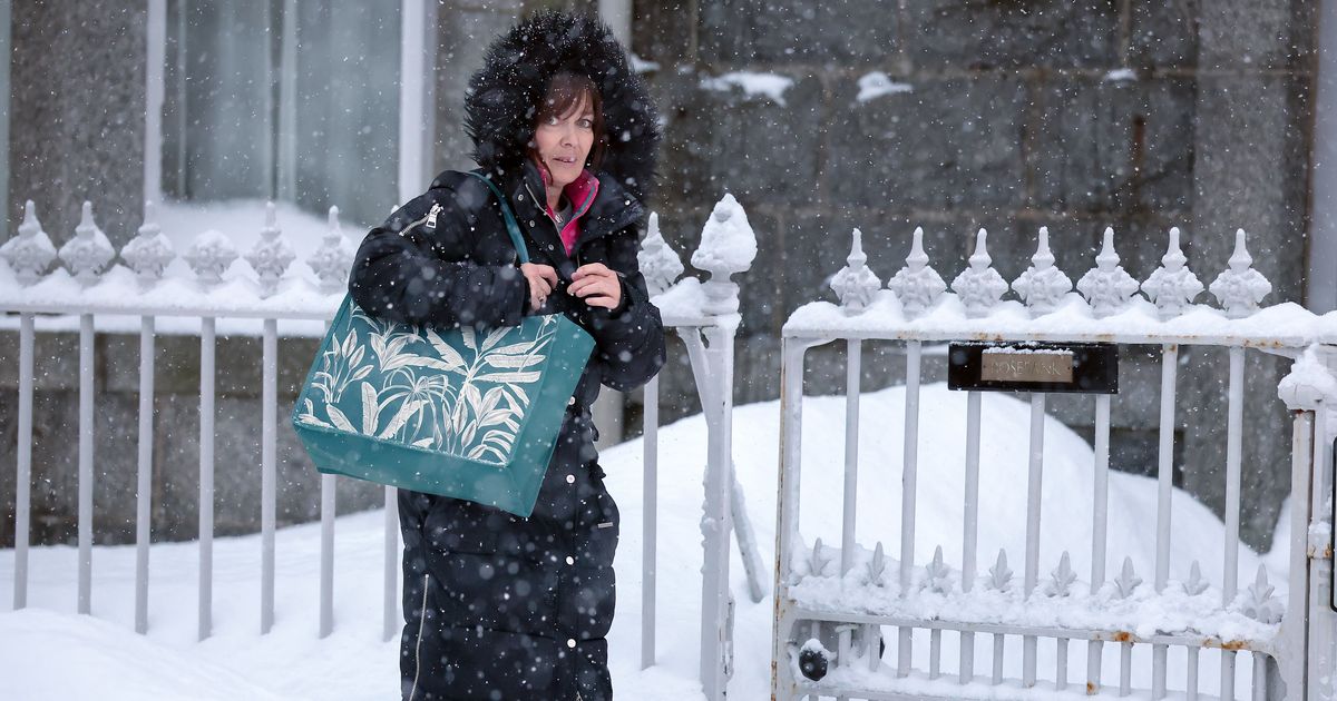
A yellow weather warning is in place for ice More snow is on the way(Image: 2026 Getty Images)
Weather forecasters have predicted when snow will fall across Birmingham ahead of a ‘multi-hazard event’ later this week.
The Met Office has stated that sleet and snow showers will continue tomorrow (Wednesday, January 7).
It comes as freezing temperatures continue to hit parts of the UK just days into the new year.
READ MORE: West Midlands pharmacy chain could face insolvency after high court application
There will be an ‘increasing risk’ of heavy rain, sleet and snow on Thursday and Friday this week with strong winds also on the way.
A yellow weather warning for ice is in place with Brits warned of travel disruption and risk from falls.
A statement on the Met Office website says: “UKHSA Amber cold weather health alerts are in place for all regions of England until 11 January.
“A number of severe weather warnings remain in place, with cold air leading to the potential for further snow accumulations in Scotland, and a widespread risk of ice across much of the UK.
“Amber warnings are in place for snow in northern Scotland until 19:00. A yellow warning for snow and ice then follows for the whole of Wednesday.
“New yellow warnings for ice have been issued for Northern Ireland, Scotland, and much of England and Wales for overnight Tuesday into Wednesday morning.”
Met Office Chief Forecaster Jason Kelly said: “A further spell of snow is expected to move east across central and northern Scotland today. Amber warnings are in place until 7pm this evening.
“Elsewhere, snow showers will be mixed with rain and sleet and it will be another very cold day, with strengthening winds too.
“Overnight, cold air pushes back in with temperatures widely dipping below freezing again. This means there is the risk of further ice overnight and a new yellow weather warnings for ice covers the majority of the UK until Wednesday morning.”
In a forecast for Birmingham, the Met Office adds:
This Evening and Tonight:
A band of rain, sleet and hill snow will move eastwards across the region through the evening, clearing during the early hours. Icy stretches developing where skies clear later. Temperatures falling but not as cold as recent nights. Minimum temperature -1 °C.
Wednesday:
Another cold day is expected, with some glimmers of sunshine. A scattering of sleet and snow showers, these tending to ease later in the day. Gusty winds. Maximum temperature 5 °C.
Outlook for Thursday to Saturday:
Cloudy start on Thursday, then an increasing risk of heavy rain, sleet and snow, along with strong winds, which may linger into Friday. Cold with sunshine returning by Saturday.