Storm Goretti, named by the French weather service, will bring some disruptive snow to large parts of Wales.
Rain and initially hill snow moving in on Thursday, then as the precipitation intensifies and the weather front engages with cold air, snow will fall to increasingly low levels, especially through Thursday evening into the early hours of Friday morning.
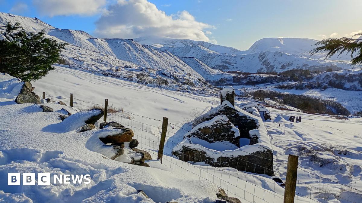
Significant snowfall accumulations are likely for inland locations, in the amber snow warning zone 10-15cm of settling snow is expected fairly widely.
Meanwhile, closer to a foot expected in some locations, mainly over the hills above 200m.
With some significant snowfall totals expected, there will be disruption and dangerous travelling conditions.