The alert, affecting all six counties, will be in place from midnight tonight until 11am on Friday.
Although Northern Ireland managed to escape the worst of the first named storm of the year, Storm Goretti, clearing skies and scattered wintry showers are set to bring icy patches across the country.
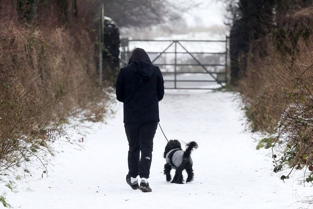
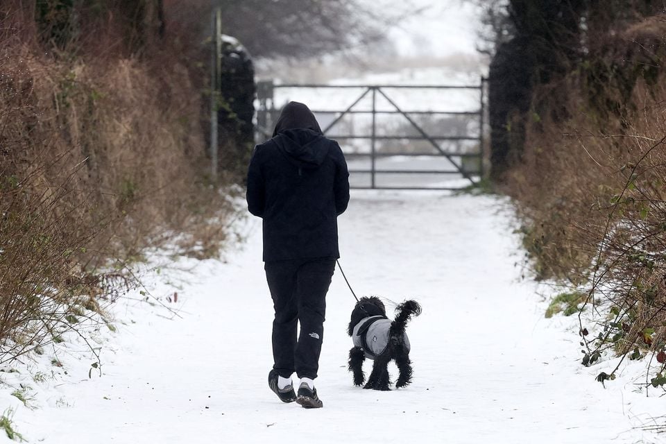
A scattering of showers around the coast this evening and overnight will increase the risk of ice, especially on untreated surfaces, the Met Office warned.
Showers will turn to sleet or snow at times, potentially giving a fresh dusting of snow in a few places.
Forecasters said the ice risk is being driven by a combination of falling temperatures, clearing skies and lingering moisture on roads and footpaths.
Where surfaces have not been treated, or where grit has been washed away by showers, icy patches are expected to form quickly.
“There is the potential for some injuries from slips and falls on icy surfaces,” the Met Office warned, adding that untreated roads, pavements and cycle paths are most at risk.
The recent cold snap has already produced some of the lowest temperatures recorded this winter.
In the early hours of Monday morning, temperatures dropped to -6.6C in Killylane, Co Antrim – the lowest recorded anywhere on the island of Ireland during the current spell.
Road conditions remained difficult in parts of the region today, particularly on secondary and rural routes. Police warned that some roads were impassable due to treacherous ice, including stretches in the Florencecourt area of Co Fermanagh, and urged motorists to seek alternative routes where possible.
The PSNI advised drivers to take extra care, especially overnight and during the early morning when ice is most likely to form. Motorists were urged to reduce speed, increase stopping distances and avoid unnecessary journeys in affected areas.
Despite the ongoing hazards, forecasters said there are signs that the prolonged cold spell is beginning to ease.
The Met Office said temperatures are expected to gradually rise later in the week.
“Generally, it will become less cold than of late with wintry hazards diminishing for Northern Ireland,” the spokesperson said.
“The main change comes on Sunday when we’ll see milder air move in from the Atlantic.”
That shift is expected to bring unsettled conditions, including rain and stronger winds, as the milder air displaces the colder Arctic air that has dominated recent days.
Snow on Black Mountain outside Belfast.
Picture by Jonathan Porter/PressEye
News Catch Up – Wednesday 7 January
Forecasters warned that the transition could still bring disruption and advised the public to keep a close eye on updated forecasts toward the end of the week.
The Met Office said that while snow and ice risks should ease as temperatures rise, unsettled weather on Sunday could bring its own challenges, particularly for travel and outdoor plans.
In the meantime, the public has been advised to continue taking precautions, including allowing extra time for journeys, wearing suitable footwear to reduce the risk of slips, and checking road and transport updates before travelling.