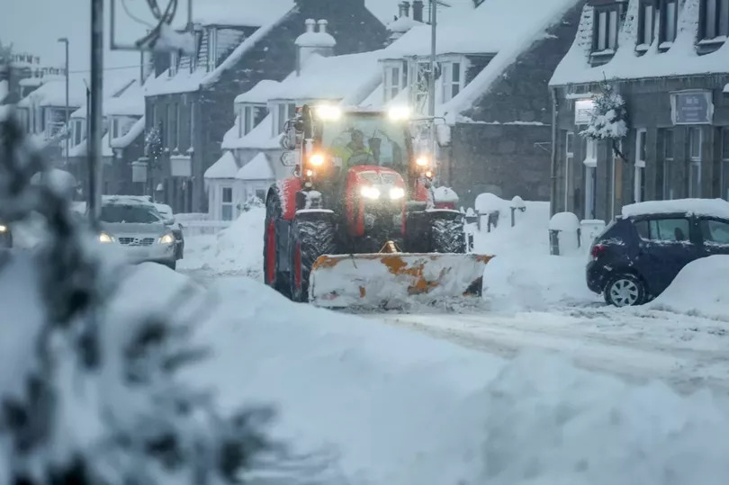
Another weather warning has been issued for Edinburgh and the Lothians with snow and ice set to continue over the course of the weekend. A yellow alert has been extended to last until Saturday at 3pm after being put in force from midday on Friday.
A further warning has been put in place for Sunday, with locals warned to expect snow and ice from 2am until 3pm. It comes as freezing temperatures batter the country with northern parts of Scotland facing blizzards and amber warnings.
Locals have now been told to face further disruption after a number of snow showers took place on Friday morning.
Forecasters have predicted “wintry showers” with ice becoming more of a widespread hazard. Temperatures are set to fall below freezing on Friday night.
On Sunday, a “spell of snow” is predicted with locals warned of the chance of injuries from slips and falls on icy surfaces.
The Met Office forecast for Saturday reads: “Wintry showers will bring some snow accumulations in places, with ice a more widespread risk, leading to some disruption.
“Whilst not all areas will be affected, scattered wintry showers will continue to feed inland from the North Sea through Friday afternoon, evening and overnight into Saturday morning.
“Ice will be a more widespread hazard, especially overnight as temperatures fall widely below freezing, particularly away from immediate windward coasts.”
The Sunday forecast continues: “A spell of snow will lead to some disruption on Sunday.
“Amounts of snow will depend quite heavily on both elevation and the intensity of precipitation, and as the band pushes east through the afternoon, it will begin to transition to an awkward mix of rain, sleet and snow. Therefore there is likely to be a lot of variation, even over relatively short distances.”
You can read the full forecast here.