Birmingham, the Black Country and Staffordshire could be hit by snowfall on Sunday according to the latest weather maps
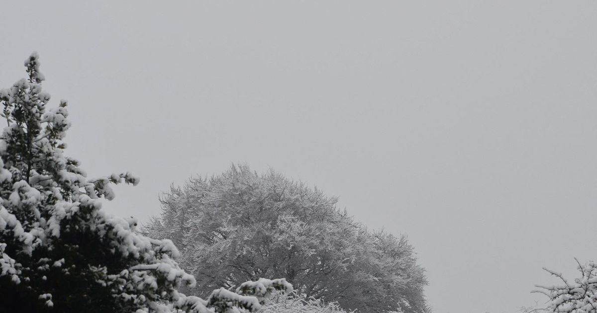
Snow is set to fall on Birmingham, the Black Country and Staffordshire on Sunday(Image: Jamie Brassington)
Weather maps have revealed that more snow could be on the way to the Midlands region this weekend.
It follows a number of flurries that have coated the region’s roads this week, causing travel disruption.
According to WX Charts, snow could arrive at 9am on Sunday, January 11.
READ MORE: EDF says UK households saving £143 a year by sticking to three rules
Get breaking news on BirminghamLive WhatsApp, click the link to join
A purple patch has appeared on weather maps, stretching from Birmingham and the Black Country and up through Staffordshire towards the north.
Birmingham could be peppered by 0.6cm snowfall per hour on Sunday while heavier snowfall could arrive around the Stoke region with 3.1cm.
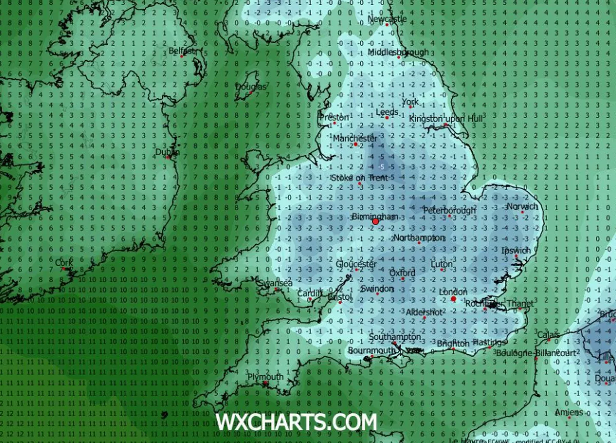
Temperatures are set to drop to below 0C in the Midlands on Sunday(Image: WX Charts)
Temperatures could also drop below the minuses at midnight Sunday, with the mercury falling to -3C.
The Met Office said in its forecast for Sunday to Tuesday: “Further wet and windy weather moving east through Sunday, with some hill snow in the north.
“Can also be windy her.
“Milder for all by Monday and into Tuesday.”
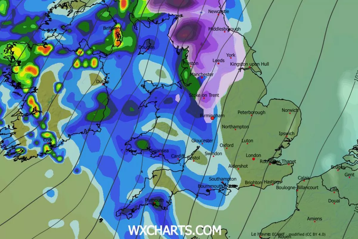
Weather maps have predicted snow will pepper Birmingham and the Black Country on Sunday(Image: WX Charts)
The following boroughs, cities and towns are expected to see snowfall arrive on Sunday:
BirminghamDudley:
- Kingswinford
- Halesowen
- Stourbridge
- Brierley Hill
Sandwell:
- Cradley Heath
- Oldbury
- Rowley Regis
- West Bromwich
- Wednesbury
- Rowley Regis
Walsall
- Aldridge
- Willenhall
- Brownhills
- Bloxwich
WolverhamptonStaffordshire:
- Cannock
- Burntwood
- Lichfield
- Rugeley
- Hednesford
- Stafford
- Stoke