The city is facing a weather phenomenon ‘rarely seen in the UK’ at the weekend which will top off a snowy week
20:52, 09 Jan 2026Updated 21:02, 09 Jan 2026
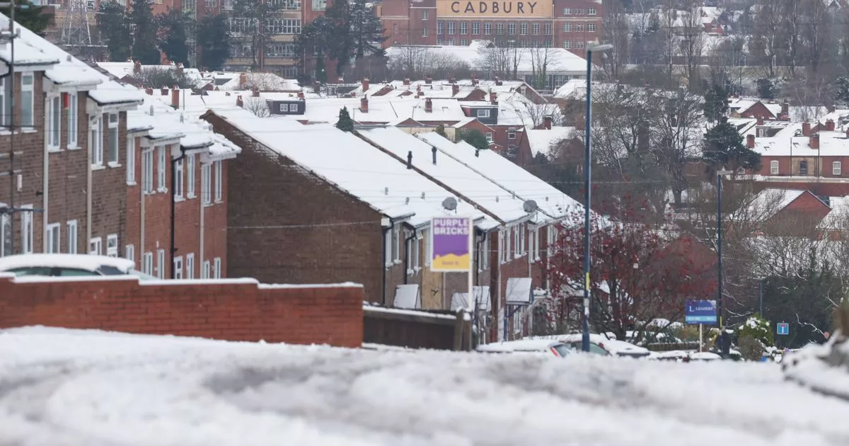
The city is facing a weather phenomenon ‘rarely seen in the UK'(Image: )
Birmingham is facing a rare weather event on Sunday as temperatures fall to freezing levels.
It will top off a wintery week for the city which has seen multiple spells of snow and icy conditions.
According to WX Charts, the temperature could drop to -2C at midnight on Sunday, January 11.
READ MORE: All the Midlands towns set for four inches of snow with hour of arrival ‘announced’
Get breaking news on BirminghamLive WhatsApp , click the link to join
A few hours later, these sub-zero conditions could cause a rare phenomenon known as ‘freezing rain’.
Weather maps show the freezing rain appearing as orange patch over the city at 3am.
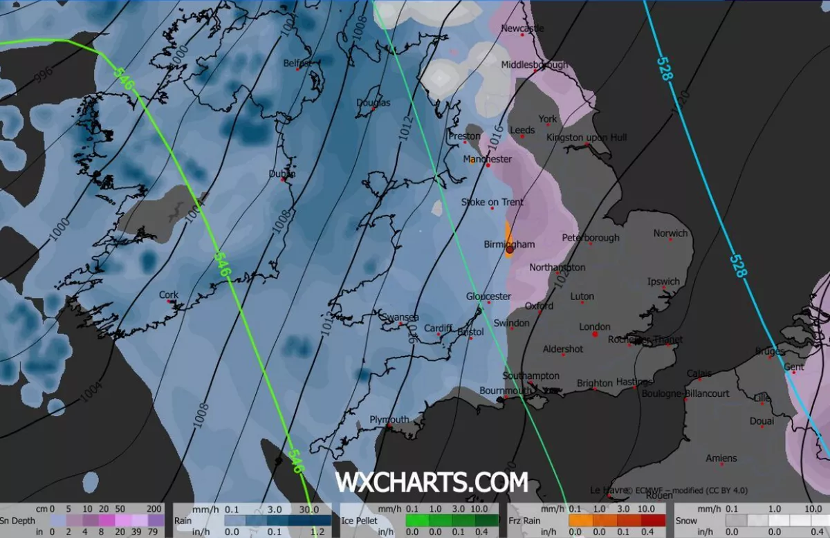
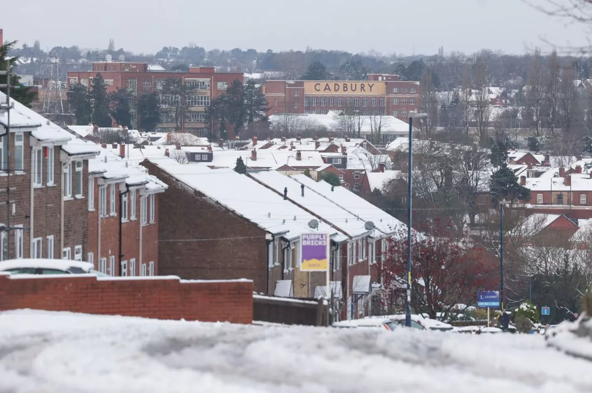
Freezing rain could fall over Birmingham on Sunday according to WX Charts(Image: WX Charts)
That could be followed by a 0.6cm blanketing of snow at 9am that day.
Although freezing rain looks just like normal rain, it’s actually very different and is considered to be a lot more dangerous.
It freezes upon impact on the ground and creates a ‘glaze’ of clear ice usually known as black ice.
Sometimes, it can be several centimetres thick and very hard to spot, posing a danger to people walking on icy surfaces.
Freezing rain usually starts high up in the atmosphere as snow, ice or sleet before passing through a layer of air that’s above 0C, turning it back into liquid.
However if these droplets them pass through a sub-zero temperature just above the ground, it can supercool them, causing them to freeze on impact.
The Met Office said: The forecaster added: “Freezing rain is a rare type of liquid precipitation that strikes a cold surface, and freezes almost instantly.
“The conditions needed for freezing rain are quite specific and we don’t see this phenomenon very often in the UK.”
The forecaster added: “The weight of the ice can sometimes be heavy enough to bring down trees and power lines, and the glaze of ice on the ground effectively turns roads and pathways into an ice rink.
“The freezing rain can also prove extremely hazardous for aircraft.”
In its forecast from Sunday to Tuesday, the Met Office said: “Further wet and windy weather moving east through Sunday, with some hill snow in the north.
“Can also be windy her.
“Milder for all by Monday and into Tuesday.”