Wintery showers and heavy rain are set to batter the region on Sunday January 11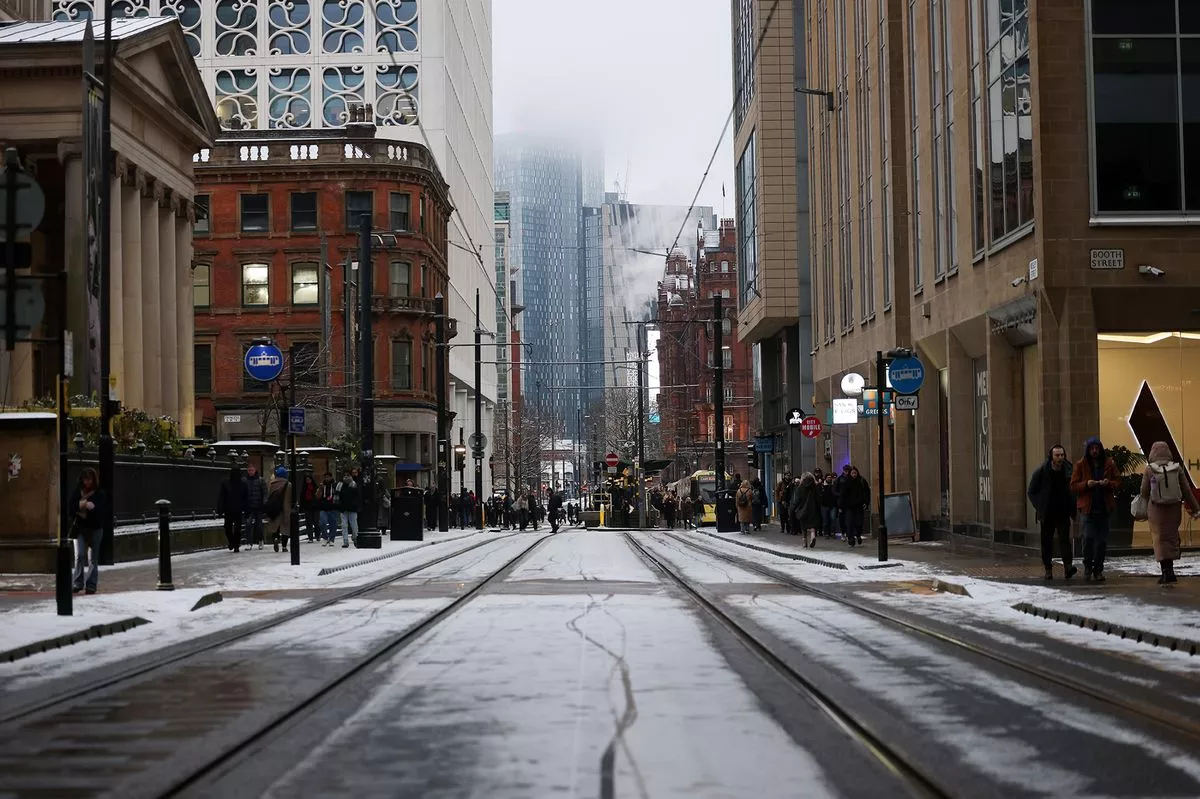
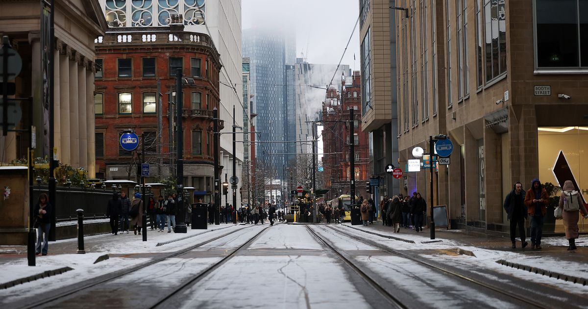
Mosley Street, Manchester(Image: Sean Hansford | Manchester Evening News)
Greater Manchester is braced for heavy rainfall, sleet showers and even snow on Sunday as Storm Goretti continues to batter the UK. The storm brought snow, hail, heavy rain and strong winds to large parts of the country on Thursday and Friday in what the Met Office described as a ‘mutli-hazard event’.
A yellow warning for ice is in force for Greater Manchester on Saturday until midnight with temperatures not expected to rise higher than 3C. Saturday will remain bright and clear, but overnight conditions are expected to become more unsettled as wintery showers hit the region on Sunday.
The Met Office has issued a yellow warning for snow and ice covering Scotland, the North East, Cumbria, parts of Yorkshire and areas of Cheshire, Greater Manchester and Lancashire which comes into force from 2am on Sunday morning and is in place until 3pm on Sunday afternoon.
The yellow warning area covers the eastern side of Greater Manchester, including parts of Tameside, Oldham, Rochdale and Stockport. The warning does not cover Manchester city centre, Salford, Trafford, Bolton, Wigan or Bury.
Forecasters said: “A band of snow will move across the warning area through Sunday morning. Across northern England this will mostly be confined to ground above 200 metres elevation, but across Scotland this could fall to low levels during the morning, before becoming increasingly confined to higher ground through the afternoon.”
The Met Office added: “Amounts of snow will depend quite heavily on both elevation and the intensity of precipitation, and as the band pushes east through the afternoon, it will begin to transition to an awkward mix of rain, sleet and snow. Therefore there is likely to be a lot of variation, even over relatively short distances.”
According to Met Office weather maps, Greater Manchester could see a band of snow early on Sunday morning at 5.30am, sweeping across Bolton, Wigan and Trafford, covering the whole city region by 7am. However, by around 9am it’s likely any snow will develop into rain or sleet showers.
Here is an hour-by-hour forecast for Greater Manchester on Sunday, January 11, according to the Met Office:
- 6am: 2C, heavy rain, 11mph wind gusts
- 7am: 2C, heavy rain, 13mph wind gusts
- 8am: 2C, heavy rain, 13mph wind gusts
- 9am: 3C, heavy rain, 13mph wind gusts
- 10am: 3C, heavy rain, 13mph wind gusts
- 11am: 4C, heavy rain, 13mph wind gusts
- 12pm: 4C, heavy rain, 13mph wind gusts
- 1pm: 5C, heavy rain, 13mph wind gusts
- 2pm: 5C, heavy rain, 14mph wind gusts
- 3pm: 6C, heavy rain, 14mph wind gusts
- 4pm: 7C, heavy rain, 14mph wind gusts
- 5pm: 7C, heavy rain, 14mph wind gusts
- 6pm: 7C, heavy rain, 14mph wind gusts
- 7pm: 8C, heavy rain, 16mph wind gusts
- 8pm: 9C, heavy rain, 17mph wind gusts
- 9pm: 9C, heavy rain, 17mph wind gusts
- 10pm: 10C, heavy rain, 15mph wind gusts
For more of today’s top stories, click here.