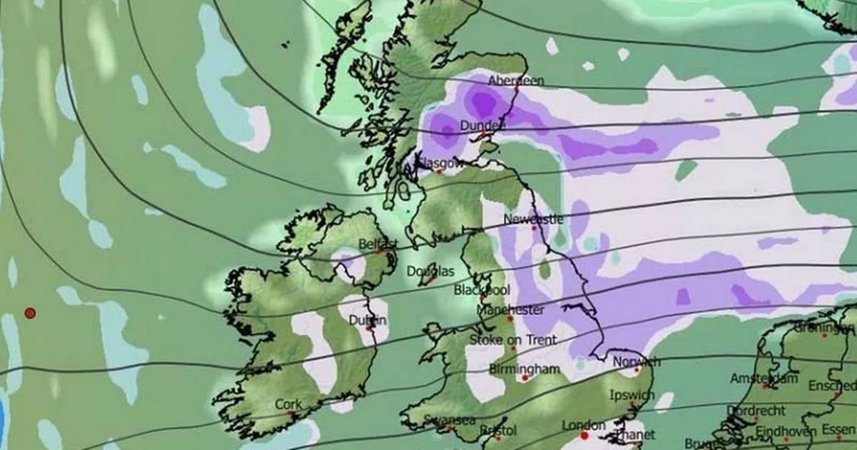
The GFS weather model shows a major weather front moving over the UK from the East on January 23
23:02, 10 Jan 2026Updated 23:04, 10 Jan 2026
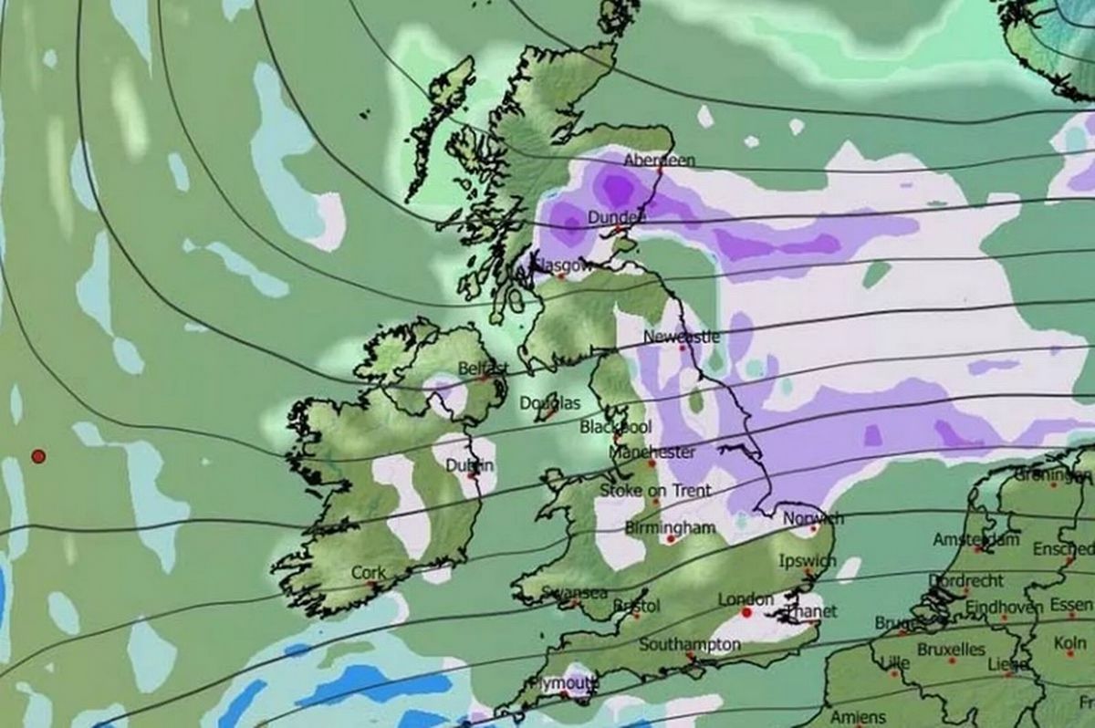
More snow is expected in Birmingham and many other parts of the UK later this month(Image: WX Charts)
Advanced forcast maps show Birmingham could be in for more snow later this month. The GFS weather model shows a major weather front moving over the UK from the East on January 23.
Birmingham is just one of the major UK cities that could be under snow again. The forecast predicts snow will fall throughout January 23 and 24, also hitting Wales and Northern Ireland.
London, Bristol, Cardiff, Nottingham, Norwich, Manchester, Newcastle, Edinburgh, Glasgow, Dundee and Aberdeen are all seen with snow on the ground in the maps.
Read more The rare weather phenomenon that could turn roads into ‘ice rinks’
Thankfully the storm is not expected to be as severe as the Beast From The East which caused chaos in 2018. The data suggests one inch will settle in Birmingham, with up to eight inches in Scotland and two inches in northern England.
The BBC long range weather forecast for January 19 to 25 states: “The chance of any meaningful snowfall is low, but some wintry showers are possible in northern regions, chiefly in Scotland, in fleeting chillier and brighter spells between weather systems. For most areas, precipitation amounts will be near or above normal, with a further thaw of any remaining snow.”
The January 26 to February 8 forecast states: “The broad circulation pattern should linger through to the end of January and start of February, with mild west to south-westerly winds often present, and Atlantic low pressure systems bringing further bouts of wet and windy weather.
“Chiller interludes between systems, mainly in the northern UK, should be short-lived, and there is little sign of any return to a lasting cold regime. Any wintry showers should be confined to Scotland’s uplands, and temperatures are most likely to average out above normal.
“Uncertainty inevitably increases this far ahead, however, and there are suggestions of high pressure building at higher latitudes, possibly over Scandinavia. If that were to develop more strongly, then there would be a chance of some colder flows, so that’s something to keep an eye on. However, it’s not the favoured outcome at the moment.”