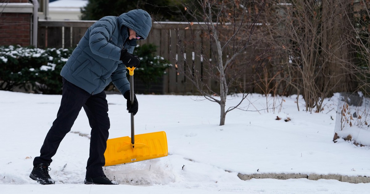
Oklahoma City: A wintry mix of snow, sleet and freezing rain begins around 3 p.m. today and continues until 11 a.m. Sunday. The heaviest period of snow and sleet is from 10 p.m. today to 5 a.m. Sunday. From 6 to 10 inches of snow is expected, with a low risk of icing.
Dallas: Rain changes to sleet and freezing rain around 8 p.m. tonight. Freezing rain and sleet fall from midnight tonight through 11 a.m. Sunday. The heaviest period of wintry precipitation lasts from 1 a.m. tomorrow to 5 a.m. Sunday. From 1 to 3 inches of snow and 0.25 inch to 0.50 inch of ice are expected.
Memphis, Tennessee: Snow begins around midnight tonight, then changes to a mix of snow, sleet, and freezing rain at 5 a.m. tomorrow, which will last until 5 p.m. Sunday. From 1 to 3 inches of snow and up to 0.25 inch of ice are expected.
Nashville, Tennessee: Snow begins around 7 a.m. tomorrow, then changes to a mix of snow, sleet and freezing rain around noon, lasting until 11 p.m. Sunday. From 2 to 4 inches of snow and up to 0.50 inch of ice are expected.
Louisville, Kentucky: Snow begins around 8 a.m. tomorrow and lasts until 6 a.m. Monday. Precipitation type likely remains pure snow, with 8 to 14 inches expected, along with a glazing of ice.
Atlanta: Rain from 12 p.m. to 12 a.m. tomorrow, then a period of freezing rain overnight into Sunday from 1 a.m. to 8 a.m., before switching back to rain around noon Sunday. No snow is expected, but up to 0.2 inch of ice is likely.
Charlotte, North Carolina: A mix of sleet and freezing rain begins around 3 p.m. tomorrow and lasts until 3 a.m. Monday. About an inch of snow and 0.75 inch of ice are expected.
Washington, D.C.: Snow begins around 6 p.m. tomorrow, then sleet and snow mix at 6 a.m. Sunday through 6 a.m. Monday. How much sleet and freezing rain mix in will determine the snow amounts — more mix will lead to lower end snow totals. From 6 to 10 inches of snow is expected, as is up to 0.1 inch of ice.
New York City: Light snow begins around 1 a.m. Sunday, then remains mostly all snow until 6 p.m. Monday. A period of sleet may mix in late Sunday to early Monday. A longer mixing period will lower snow amounts. From 8 to 14 inches of snow and a glazing of ice are expected.
Boston: Snow begins around 8 a.m. Sunday and will continue to Tuesday morning. Precipitation type likely remains pure snow. From 10 to 16 inches of snow is expected. No ice is predicted, but it will be dangerously cold.
