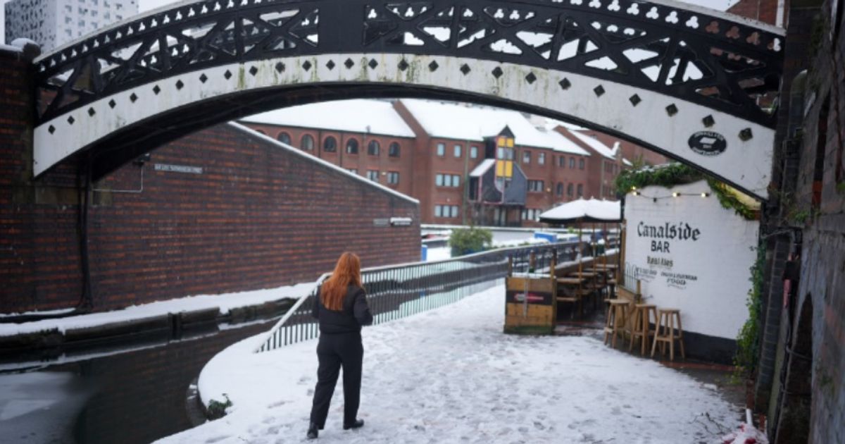
Half of the country will be fortunate enough to be spared the incoming flurries of the white stuff, but other areas won’t be as lucky.
Next UK snow bomb will hit only ‘half’ of England and begins in 30 hours(Image: )
The next UK snow bomb will hit HALF of England – and it begins on Tuesday. Half of the country will be fortunate enough to be spared the incoming flurries of the white stuff, but other areas won’t be as lucky.
In fact, the snow bomb is set to see a major north and south split – with everywhere from Wick, John O’Groat’s and Ullapool in the northern reaches of Scotland, to Stoke and Staffordshire, due to be hit.
Maps from WX Charts show snow arriving from Tuesday, January 27. The snow could see snow fall at a rate of around 10cm per hour at around 6pm, as the flurries intensify with temperatures plunging.
READ MORE Major UK supermarket becomes second most expensive after hiking staple item
Separate maps from the Met Office show the first signs of snowfall at 6pm on Monday, January 26, just 30 hours away, before intensifying through Tuesday.
But everywhere south of Stoke is on course to be handed a repreive, it has emerged. Indeed, reports suggest the south of England will avoid the snow, along with the south of Wales.
While the West Midlands conurbation looks likely to be hit in the form of Stoke on Trent, other major counties and cities like Birmingham, Solihull, Warwickshire, Worcestershire, Shropshire and Herefordshire will be spared.
It means the areas at risk include Staffordshire, Cheshire, Lancashire, Greater Manchester, Cumbria, Durham, and Northumberland and Yorkshire.
Depth charts from WX Charts, which use Met Desk figures and data, shows the deepest snowfall will be in Scotland, with up to 72cm in Cairngorms National Park.
A temperature map shows lows of -1C will also be seen in this area. Temperatures will sit at around -1C to highs of 7C in the south of England.
Posting photos of snowfall on Sunday (January 25), James Madden, from Exacta Weather, said his predictions had come true.
He wrote: “Some of the first live and wintry scenes for over the next several days from across higher ground in Aviemore/Cairngorms, where heavy snow is currently falling or has recently fallen in these parts during this morning…”