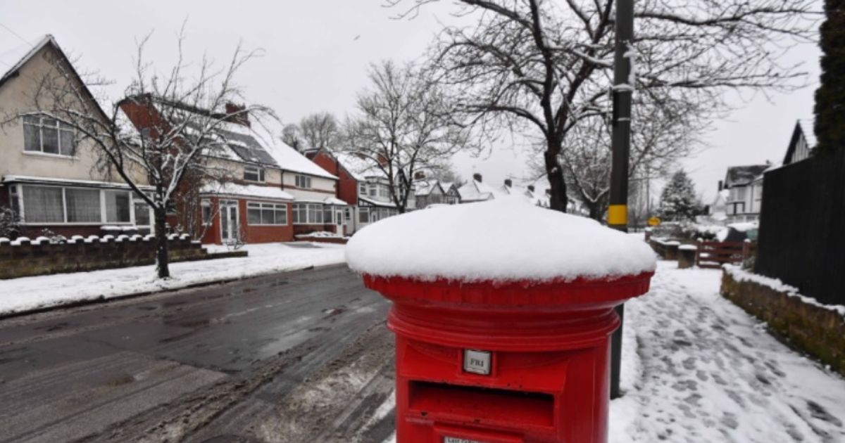
Monday, January 26, will see snow cover swathes of the UK – with England and Scotland badly affected.
08:44, 25 Jan 2026Updated 09:09, 25 Jan 2026
Monday, January 26, will see snow cover swathes of the UK – with England and Scotland badly affected.(Image: )
The Met Office snow maps have laid bare all the counties and UK areas set to ESCAPE snow on Monday. Monday, January 26, will see snow cover swathes of the UK – with England and Scotland badly affected.
Maps from midnight tonight (Sunday, January 25) into tomorrow (Monday, January 26), show England covered in blobs of white and grey.
The snow is seen falling primarily in Scotland from the early hours, with only pockets of the north of England affected. But the snow intensifies throughout the day, spreading from the Pennines to the entirety of the North East, and North West.
READ MORE Major UK supermarket becomes second most expensive after hiking staple item
Indeed, areas as south as Stoke in the Midlands are also affected. But the maps show just rain falling further south of the West Midlands and Staffordshire city.
It means counties set to escape are: Derbyshire, Nottinghamshire, Leicestershire, Lincolnshire, Warwickshire, Shropshire, Worcestershire, Herefordshire, West Midlands, Cambridgeshire, Oxfordshire, Norfolk, Suffolk, Essex, Kent and Northants.
Bedfordshire, Buckinghamshire, Berkshire, Wiltshire, Gloucestershire, Hertfordshire, Greater London, Surrey, Somerset, Devon, Dorset, Cornwall, Hampshire, Rutland, and Sussex are also set to be spared.
James Madden, from Exacta Weather, said: “Any first and initial snow showers over the coming days are literally paving the way for something bigger in terms of snow heading into next week and from around Monday evening and into Tuesday will see the first bout of unsettled conditions.”
The snow will be “pushing in from the Atlantic and clashing with colder conditions to bring at least some notable snow to the northern half of the country and also to lower levels,” Mr Madden said.
Mr Madden said: “Additionally, and importantly, the next bout of unsettled weather conditions will mix with the colder conditions during Tuesday evening and into much of Wednesday and the areas at risk for snow and heavy snow are in the northern half of the country once again and including lower levels from central England and upwards and also in large parts of Ireland but with some of this snow now starting to form in parts of southern England during this same period (something we expect to intensify nearer time).”