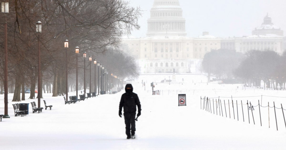
A huge swath of the country is being hit with snow, sleet and freezing rain, as 185 million people from New Mexico to Maine remain under winter weather alerts.
Preliminary snow observations include 13 inches in Frichton, Indiana; 11 inches in Johnston City, Illinois; 11 inches in Beavercreek, Ohio; 10.4 inches in Batesville, Indiana; and 8.5 inches in Springfield, Missouri.
The highest ice reports at this time have come out of Tennessee, Mississippi and Louisiana. The Nashville metro area, for instance, recorded ice accretion of 0.5 to 0.75 inches as of this morning.
Snow is forecast to continue this afternoon into Monday morning for the eastern half of the country, with the heaviest additional snowfall accumulation expected in parts of the Ohio Valley through the Northeast.
Forecasts show anywhere from 10 to 12 inches in Cleveland, 16 to 22 inches in Boston, 7 to 10 inches in both New York City and Philadelphia, 10 to 12 inches in Buffalo, New York, and 1 to 3 inches in Washington, D.C.