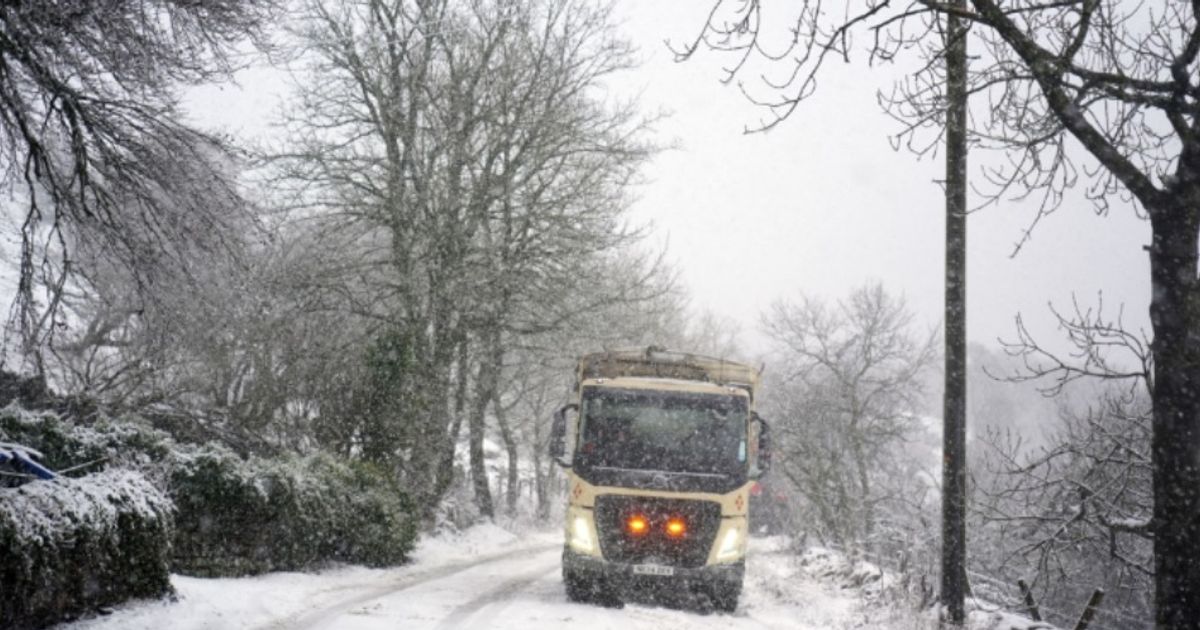
Birmingham and the West Midlands are among 36 counties at risk in England of a blanket of the white stuff, according to WX Charts.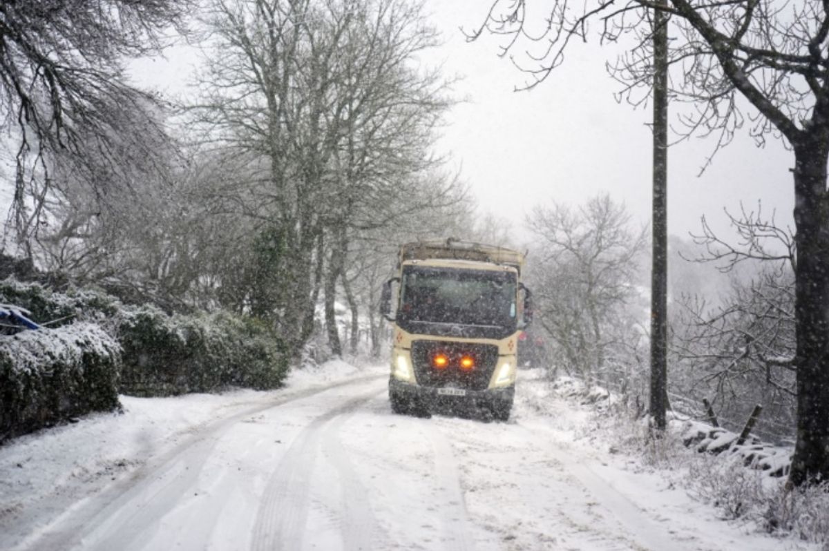
Two counties in England set to be spared next UK snow bomb – full list
The UK faces an incoming snow bomb lasting FOUR DAYS – with 12cm being dumped in England. Birmingham and the West Midlands are among 36 counties at risk in England of a blanket of the white stuff, according to WX Charts.
Maps and charts, based on advanced modelling, show large parts of England, Scotland and Wales covered in snow with as much as 55cm in parts. Heavy snow is forecast February 11 and 13 reaching its peak on February 14.
Only two counties – Cornwall and Devon – are expected to miss out. Northern England could see snow as deep as 10-12cm while the south of the country will see less, with 6cm expected in Greater London and the Home Counties.
READ MORE Drivers face more ‘cutting-edge’ AI traffic cameras in one part of England
Wales will also be hit with 6 to 7cm of snow expected in western and central parts. The list of counties in England affected include Northumberland, Durham, Cumberland, Westmorland, Lancashire, Yorkshire and Cheshire.
Other counties hit include Lincolnshire, Nottinghamshire, Derbyshire, Staffordshire, Norfolk, Leicestershire, Rutland, Shropshire, Cambridgeshire, Suffolk, Northamptonshire, Warwickshire and Herefordshire.
And other counties affected include Worcestershire, Hertfordshire, Huntingdonshire, Gloucestershire, Buckinghamshire, Oxfordshire, Bedfordshire, Essex, Wiltshire, Somerset and Middlesex.
And other counties affected include Berkshire, Surrey, Kent, Hampshire and Sussex, too. A Met Office forecast spanning mid-to-late February says: “Frontal systems over the Atlantic, steered by a south-shifted jet stream, are likely to approach the UK at times, but tending to stall as they encounter a blocking area of high pressure to the north and northeast.
“This will result in further spells of rain at times, falling in areas already sensitive to flooding.
“As these bands of rain spread northwards, some snow will be possible in northern England and Scotland, mainly over higher ground, as they encounter colder air.
“A subtle shift southwards of these areas of low pressure is anticipated during the second week of February, which may allow a greater chance of colder air to spread across larger parts of the UK, including the south, bringing an increased risk of wintry hazards for a time.”