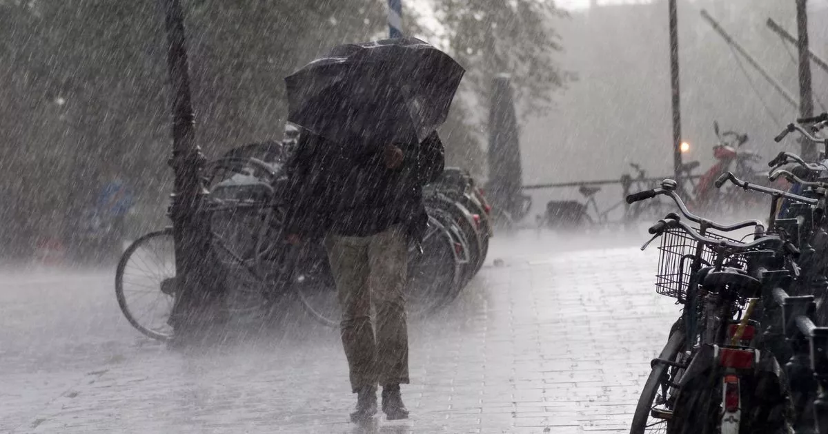
Sunny weather could break down into heavy showers, potentially thundery, in parts of the Midlands on Sunday, says Met Office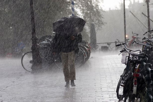 Parts of the Midlands could see heavy rain and thunder on Sunday, according to the Met Office.(Image: Getty Images/iStockphoto)
Parts of the West Midlands could see thunderstorms on Sunday, May 11 after temperatures soared on Saturday, the Met Office has said.
Much of the UK enjoyed blue skies before showers were forecast to drift in from the south on Saturday night, meteorologist Jonathan Vautrey said.
Heavy and potentially thundery showers could arrive on Sunday, mainly affecting parts of the Midlands, the West Country and South Wales.
READ MORE: ‘Forever 15’ tribute to biker killed in crash as crowdfunder closes in on £4k
Temperatures this weekend were expected to reach highs of 25-26C, which is about 8C above average for the time of year, Mr Vautrey said.
There could be “heavy, short sharp” bursts of rain and hail and lightning, he said, adding: “As is the case with thunderstorms, they’re often quite hit and miss.
“Obviously it has been a pretty dry spring so for many areas rain is needed, but because of the heavy nature of these showers, splashing onto hard surfaces, there is the potential for minor localised issues and flooding.”
Between 20mm and 30mm of rain could fall within a couple of hours, or as much as 40mm in three hours, the forecaster said.
Motorists were urged to take care when driving and be aware the thunderstorms “could come on at very short notice”, Mr Vautrey added.
Showers were also expected in Northern Ireland and Scotland on Sunday and Monday.
The wet weather could also continue on Monday in southern and western areas of the UK, and the Met Office is monitoring for any further warnings.
From Tuesday, the high pressure will rebuild and dry conditions and sunshine will return across the country, with temperatures in the low to mid 20s.