Temperatures are set to peak on Monday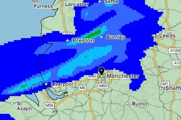 ‘Warm, muggy and breezy'(Image: Met Office)
Greater Manchester is set for another overcast weekend – before heading into next week with a scorcher.
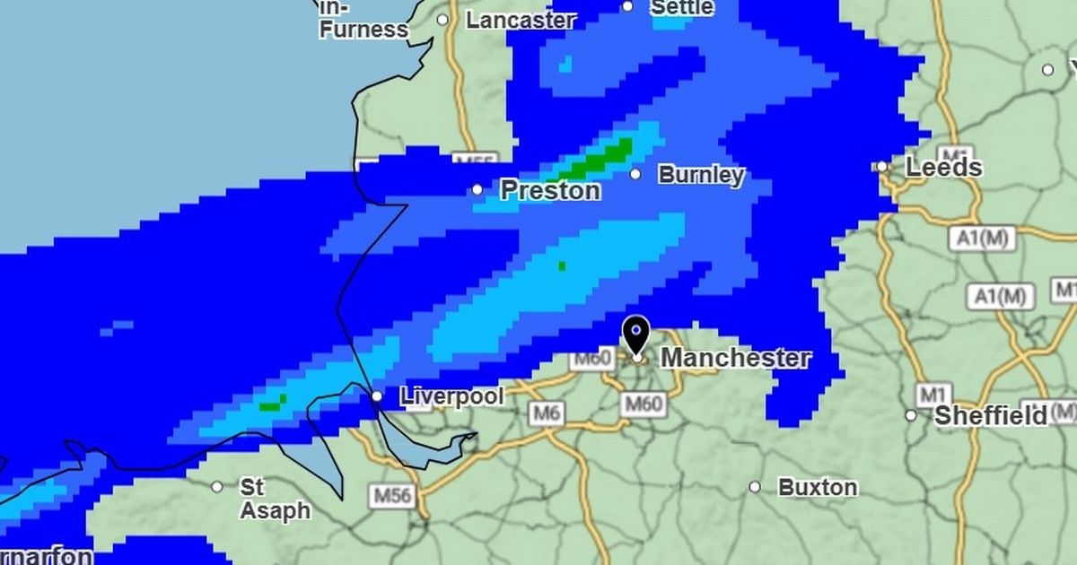
Following from a warm and humid few days, Saturday (June 28) is set to be another ‘dull day’ according to the Met Office, with ‘cloud and outbreaks of rain and drizzle’ on and off throughout the day.
There will be a palpable breeze with gusts of up to 32mph. The forecast said it would be ‘warm, muggy and breezy’.
“Some brighter breaks may develop towards the far north and south of the region,” the forecast adds. “Maximum temperature 23C.”
It will be a humid night overnight, with temperatures not dipping below 14C, as any breezy gusts drop away. With 30 per cent chance of precipitation there will be spells of rain and drizzle in the early hours before ‘another grey start’ on Sunday (June 29).
The forecast says: “Patchy drizzle, mainly over the hills; some brighter breaks may develop into the afternoon. Lighter winds and feeling warm in any sunshine.”
But things will feel decidedly warmer with temperatures peaking at 26C, and the clouds beginning to break late in the afternoon leaving a warm and sunny evening for many, with temperatures remaining around 22C at 9pm.
Some may find themselves reaching for their fans again as temperatures are not set to drop below 17C overnight on Sunday – and Monday (June 30) looks set to be another scorcher.
The Met Office forecast shows wall-to-wall sunshine and a high of 29C. For the rest of the week, temperatures will calm down slightly to hang around in the early 20s, with intermittent sun and cloud.
“Cloudier from Tuesday with some patchy rain, perhaps heavy at times, but also turning fresher,” the Met Office added.