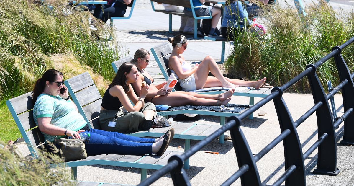
It follows a weekend of cooler air, cloud and rain in most of England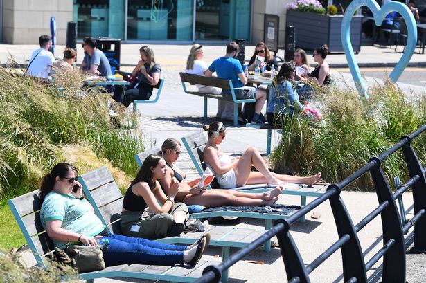 Workers relaxing in the sunshine in Princes Dock.(Pic Andrew Teebay).(Image: Liverpool Echo)
A third mini heatwave is set to hit the UK. The Met Office said the very hot weather could hit the UK by the end of the week, with some places reaching highs of in the low 30s.
It follows a weekend of cooler air, cloud and rain in most of England, and a yellow warning for thunderstorms in the east of the country on Sunday. According to the Met Office’s criteria, a heatwave is classified by at least three consecutive days surpassing specific “heatwave threshold” temperatures unique to each region.
Generally, much of the UK recognises a threshold of 25C, with slight variances for the south and east, and London’s bar being set at 28C. In Liverpool and the rest of the region, high temperatures are set to begin on Thursday, July 10, with temperatures reaching highs of 25C.
On Friday, temperatures are set to climb to 28C, as well as on Saturday. Marco Petagna, senior meteorologist at the Met Office, said: “I think Wednesday is probably going to be the day when we could start to reach the thresholds of 25 to 28 degrees, depending on where you are.
“But of course, you need three days at those temperatures for it to be able to be called a technical heatwave. So, although the temperature will be reaching the criteria, we probably won’t actually reach an official heatwave until around Friday, to give the three consecutive days at those temperatures.
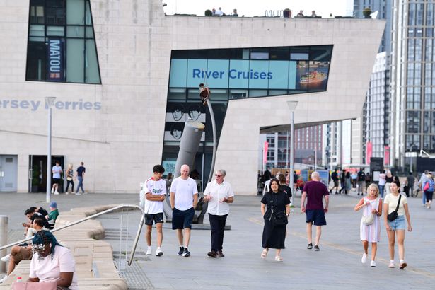 People walking in the sunshine on the waterfront(Image: Pic Andrew Teebay)
“But temperatures are going to continue to climb as we go toward the end of the week and certainly by Friday and Saturday we could see 30 degrees, perhaps just nudging into the low 30s.
“At the weekend, we could just start to see humidity increasing a little bit as well and nighttime temperatures look like they are going to be, so it will be starting to become more uncomfortable by night.”
Yet the duration of the hot spell remains difficult to gauge, and there are uncertainties about just how high temperatures will rise.
It also appears as though the UK will avoid the stifling weather of the high 30s and low 40s seen in the Mediterranean.
Mr Petagna said: “It’s a bit of a question mark going through the weekend early next week as to how long the heat will last and how high the temperatures will get, because some models are sort of pushing the heat away a bit more quickly, whereas others keep the heat going.
“At this stage it looks as though certainly into next weekend, we should hold on to hot weather across the south of the UK and temperatures could again certainly get into the low 30s in a few spots.
“And we are going to see some very high pollen and very high UV levels as well.
“But at this stage, we’ve managed to escape some of the very highest temperatures, those seen across Spain and Portugal in particular, where it has reached the mid-40s.”