Wednesday, 9 July 2025, 13:00
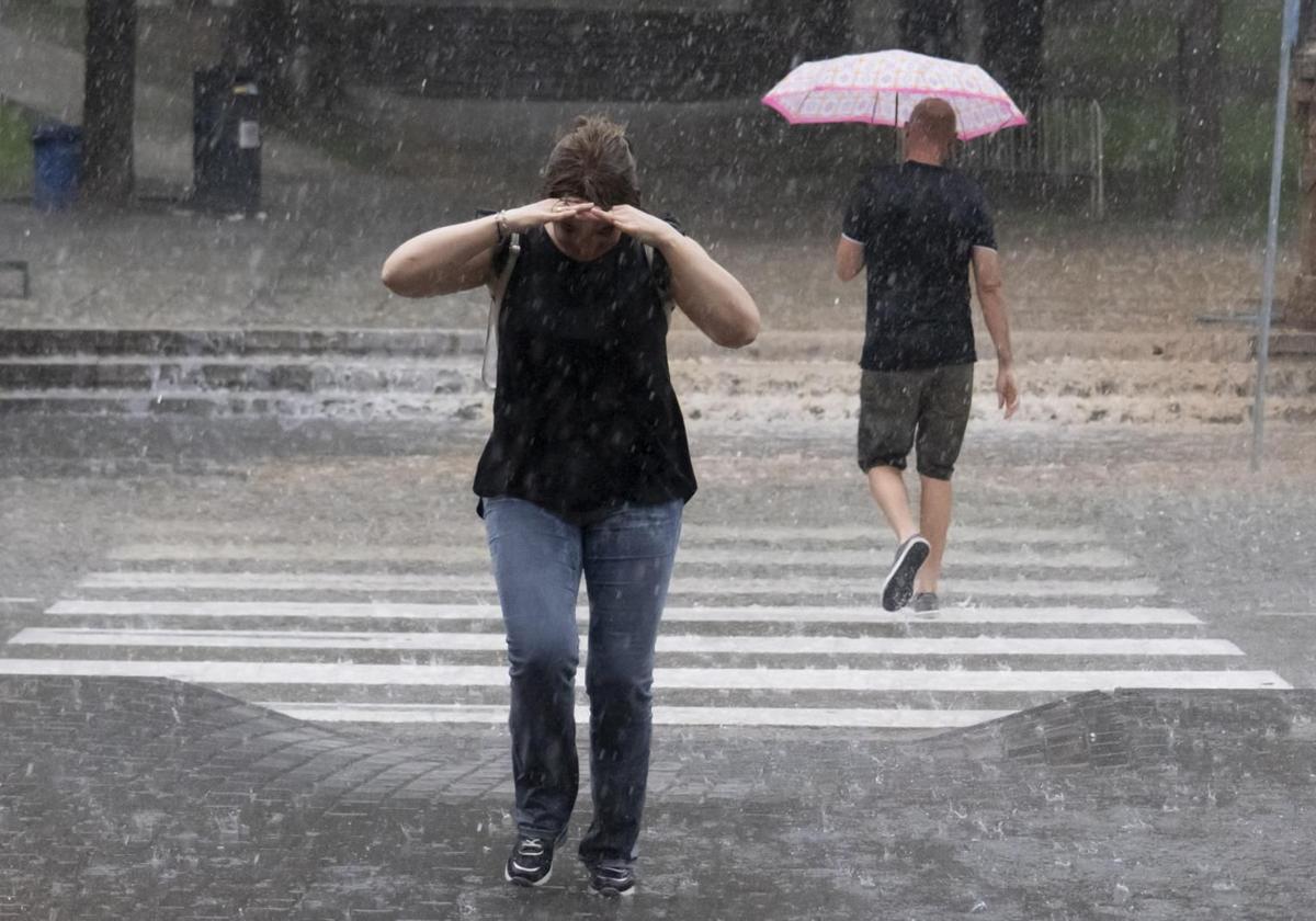
Some twenty provinces in Spain will be under a weather warning this Wednesday for heavy rain, thunderstorms and high temperatures on a day when the worst effects will be borne by Teruel (Aragon), at an amber level for rain and storms, and in Castellón (Valencia), at an amber level only for heavy downpours, according to the forecast of the state meteorological agency (Aemet).
The rest of the warnings for rain and storms will be in Zaragoza (Aragón); Soria (Castilla y León); Guadalajara (Castilla-La Mancha); and Valencia (Comunidad Valenciana), in addition, Tarragona (Cataluña) will have a warning only for rain and Segovia for storms.
In addition, there will be heat warnings in Cordoba, Granada and Jaen (between 1pm and 9pm it could reach 39C); Avila, Valladolid and Zamora (Castilla y León); Ciudad Real, Cuenca, Toledo and Guadalajara (Castilla-La Mancha); Badajoz and Cáceres (Extremadura); Lugo and Ourense (Galicia); Metropolitana and Henares and Sur, Vegas and Oeste (Madrid region).
Aemet expects this Wednesday to be a stable day mainly under the influence of high pressure, except in the eastern Cantabrian and the Mediterranean coast, where the entry of humid air will favour the presence of low cloudiness and showers in the east. Within this scenario, there may be heavy rain and even very heavy downpurs on the coast of Tarragona and the Valencian region in the early hours of the morning.
In the afternoon, showers accompanied by thunderstorms and heavy showers are forecast in the extreme south of the Iberian Peninsula and the north of the Valencian region In turn, there could also be some weak showers at this point of the day in inland mountain areas, more likely and even heavy in the east of the Central System and in Soria. Meanwhile, in the Canary Islands, there will be cloudy intervals and even cloudy in the north of the mountainous islands.
With regard to maximum temperatures, Aemet indicates that these will rise in the northern half of the Spanish mainland, the southwest of Andalucía, the interior of the eastern third and the Balearic Islands, with some decrease in the lower Ebro and Extremadura. This rise could be notable in the interior of Galicia, the upper Ebro and the north of the Iberian Peninsula.
On the other hand, minimum temperatures will rise in inland areas of the northern half, the north-east and the central area. At the same time, slight decreases are expected in the Balearic Islands, the upper Ebro and the southwest. Within this framework, maximum temperatures will remain at values exceeding 34-36C in large areas of the southern half and even in the interior of Galicia, the northern plateau and the Ebro. In these areas of the southern half and on the Mediterranean coast, the forecast includes minimum temperatures of more than 20C.
Otherwise, the state body indicates that light winds will blow on the mainland and in the Balearic Islands, with predominantly east and south on the Mediterranean coast, northwest on the northern plateau, west and south on the rest of the Atlantic coast and north and east on the Cantabrian coast. These will be somewhat stronger on the coasts, with some strong northeasterly winds on the Galician coasts. In the Canary Islands, there will be moderate trade winds, without ruling out some strong intervals.