Hot weather maps suggest the UK will soon be basking in warm sunshine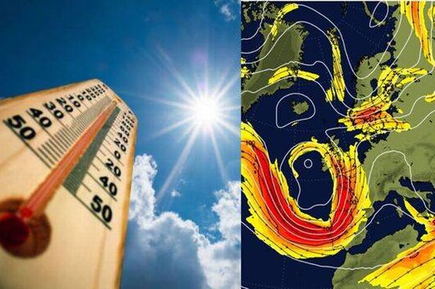 Bristol is set to see temperatures in excess of 20C(Image: (Image: Getty / WX Charts))
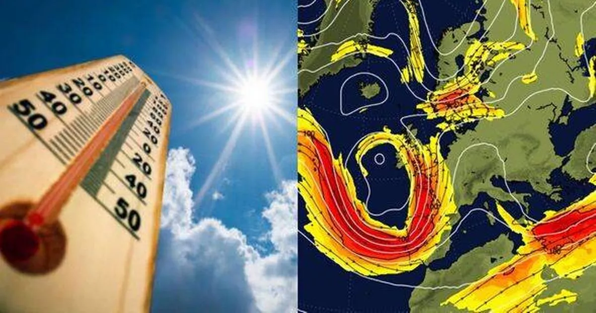
Be prepared to dust off your barbecues as a mini-heatwave is on the horizon with temperatures set to soar past 20C towards the end of April according to WX Charts.
The Iberian jet stream will be responsible for this warm spell, ushering in balmy and dry conditions from southern Europe. The high-altitude wind pattern is expected to steer clear skies and warmer air from the Iberian Peninsula right into the UK’s backyard.
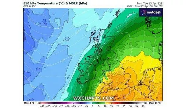
Forecasters predict that this could send temperatures skyrocketing to a scorching 24C in parts of the south. From Friday, April 25, the warmth will start to flow in with the jet stream’s arrival. As per the outlook, the city could bask in 19C heat on Saturday, April 26, and Sunday, April 27.
READ MORE: Vernon Kay has two-word reply when asked if he’s ‘punching’ with Tess DalyREAD MORE: Restaurant once popular Staple Hill pub opens new dining space ‘perfect no matter the season’
By Monday, April 28, temperatures may soar to 22C in Bristol. Elsewhere, those in the Midlands and along the south coast can expect 21C. Norfolk isn’t being left out either with a chance of 24C there on April 27. Over in Wales, the mercury is poised to hit 20C, with Cardiff expected to experience its peak warmth at 6pm on April 26.
 The Iberian jet stream is expected to push warmer weather into the UK(Image: (Image: WX Charts))
Adding more good news, the Met Office’s long-range forecast stretching from Sunday, April 20, to Tuesday, April 29, predicts “dry and sunny” conditions, coupled with temperatures “around or slightly above average” throughout the country.
However, forecasters are also warning of a “risk of some heavy rain or showers”. The unsettled weather is more likely at the start of the period, before the Iberian jet stream arrives.
Met Office five-day UK forecast
Largely dry this evening with some late sunshine. A few showers, heavy at times developing during the early hours but most places remaining dry with clear spells and a touch of frost developing. Minimum temperature 0 °C.
Thursday:
A chilly start with some showers in places.
These developing more widely into the afternoon to leave a day of sunshine and scattered showers, turning heavy at times. Lighter winds. Maximum temperature 15 °C.
Outlook for Friday to Sunday:
Often changeable over the Easter weekend with cloud and spells of rain, or showers.
Some brighter interludes possible at times with temperatures near normal and often breezy.
=