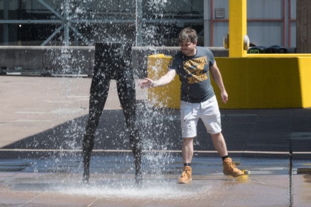
The high temperatures of 32C are likely to hit 10 cities on August 6 with the warm conditions continuing until August 8. 26 counties in England that won’t be hit in next UK heatwave as 32C returns
All the counties set to miss out on the next UK heatwave – the fourth of the year – have been revealed. The high temperatures of 32C are likely to hit 10 cities on August 6 with the warm conditions continuing until August 8.
The three-day heat blast has been projected by WX Charts, which uses Met Desk data based on the advanced weather modelling of the GFS system. But not all areas in England will roast amid the prospect of rising heat.
Counties which will miss out include Gloucestershire, Lincolnshire, Berkshire, Somerset, Cornwall, the Isle of Wight, Cambridgeshire, Huntingdonshire, Cumberland, Durham, Northumberland, Cumbria, Westmorland and Greater Manchester.
READ MORE Iconic homeware chain set to close UK branch with shoppers left devastated
Cheshire, Lancashire, West Midlands, Derbyshire, Nottinghamshire, Shropshire, Leicestershire, Worcestershire, Herefordshire, Warwickshire, Rutland and Yorkshire completes the list.
In the short term, a Met Office forecast for Thursday (July 24) says: “Rain and showers developing across eastern England during Thursday, but mostly dry elsewhere with sunny spells, although the odd isolated shower possible. Brightest conditions in the west and feeling warm in any sunshine.
“Rain in the east clears south through the evening, with clear spells overnight. Increasingly cloudy in the northwest as a band of light rain slowly spreads eastwards by dawn.”
A Friday (July 25) outlook adds: “Largely dry and fine across the south and east on Friday, with some patchy rain further north and west. Feeling a little warmer in the southeast compared to Thursday.”
The outlook for Saturday to Monday goes on to state: “Sunny spells and showers for most over the weekend, these perhaps heavy at times with a risk of thunder. Turning a little drier in the south by Monday.”
The BBC says today, turning cloudy with showers in East Anglia and south-east England. Variable cloud elsewhere, but cloudy for many in the Midlands. The odd shower in Scotland and around the Pennines.
Tonight, many areas will become clear. The exception will be the north-west, where a band of cloud and light rain will arrive from the west, and the south-east, where it will turn dry but stay cloudy.
