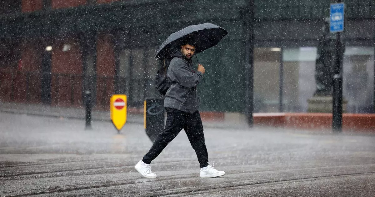
After a washout of a week, more rain is expected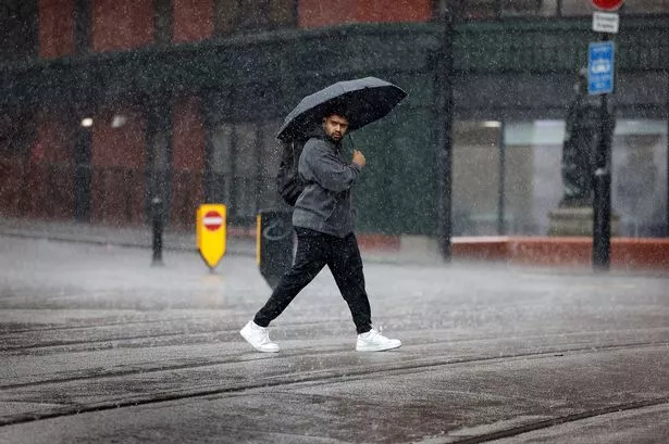 A wet weekend is on the cards for Greater Manchester.(Image: Sean Hansford | Manchester Evening News)
Showers and clouds will dictate the weather across Greater Manchester this weekend, according to the latest Met Office forecast.
After a bright and sunny afternoon, clouds gathered ominously over the city and its surrounding areas on Friday evening.
Overnight rainfall made way for a relatively dry start to Saturday, but brief sunny spells will be constantly interrupted by showers for the rest of the day and into the evening.
For Sunday, the forecast predicts a “good deal of cloud overall but occasional bright or sunny spells are likely.”
The report adds: “Showers are possible with a low chance of a heavy one, though most places remaining dry.”
Content cannot be displayed without consent
An 80% chance of precipitation from 8am tomorrow morning, with conditions gradually clearing after 5pm in the evening.
More rainy conditions are predicted for the beginning of the week, with the UK’s national forecaster adding: “The north and west will most likely be the focus of any wetter and windier weather, where there may be some prolonged spells of rain at times.”
Earlier this week, Met Office meteorologist Aidan McGivern suggested another heatwave could be on the way in August.
He said in a YouTube video on July 22: “It looks like warmer air is coming into western parts of the UK.
“The cold pool is moving into central Europe and warmer air is starting to appear to the south west.”
McGivern added: “No sign of a heatwave next week – mostly it’s cool, changeable westerly winds.
“But when we get to August, the signs are that pressure will begin to build a bit more to the west and southwest of the UK.
“This will bring more widespread settled weather and higher temperatures as a result.”