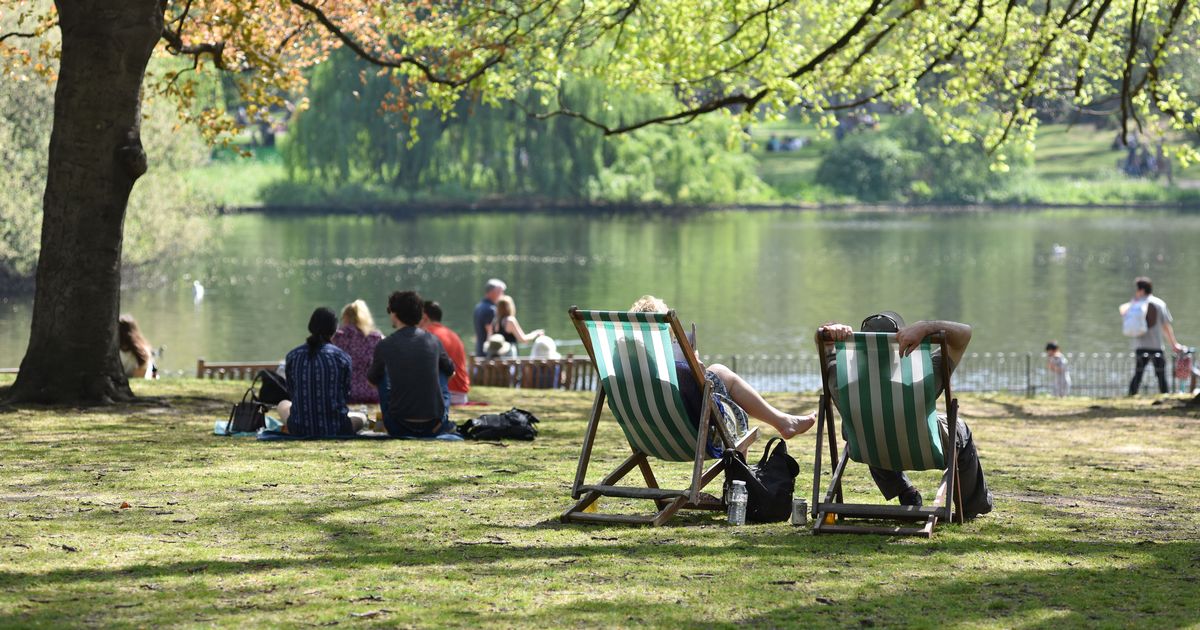
Temperatures are set to rise in a matter of weeks but not all places could feel the heat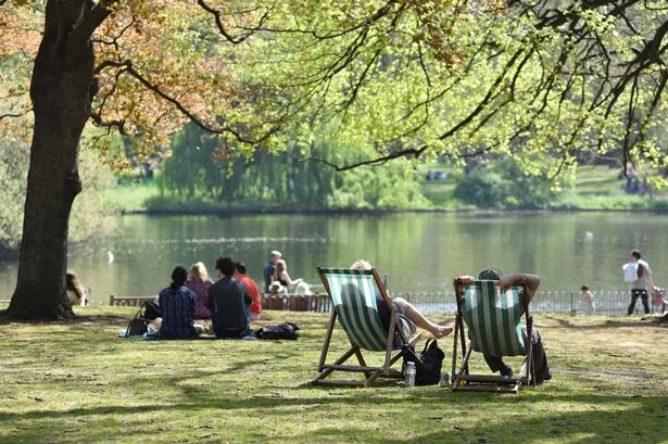 Twenty counties in England could escape the next heatwave(Image: John Keeble/Getty Images)
The fourth heatwave of the summer could be arriving next month as weather maps turn red.
As we enter the second full week of August, temperatures are set to reach the low-30s.
Heatwave conditions could take place between August 12 and 14, with temperatures reaching the 25C threshold and above.
READ MORE: Met Office thunderstorm warning issued for 17 counties in England
Get breaking news on BirminghamLive WhatsApp, click the link to join
However not all of England could sizzle when the hot weather arrives.
A total of 20 counties could escape the heatwave.
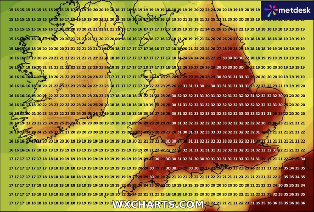 Temperatures are set to reach 33C(Image: WX Charts)
Although the mercury could surpass 25C during that period, it’s not set to remain at that level over three consecutive days, according to WX Charts.
Temperatures are forecast to reach 32C in the West Midlands on Wednesday, August 13, however things are set to cool off the following day.
The following counties could miss out on a heatwave conditions: West Midlands, Staffordshire, Shropshire, Herefordshire, Derbyshire, Nottinghamshire, Cornwall, Devon, Cheshire, Merseyside, Greater Manchester, South Yorkshire, West Yorkshire, North Yorkshire, East Riding of Yorkshire, Lancashire, Cumbria, Durham, Northumberland and Tyne & Wear.
In its long-range forecast from August 4 to August 13, the Met Office said: “Early next week there is the potential for an unseasonably deep area of low pressure to affect the UK, which would bring widely windy and wet weather, especially for the west or northwest of the UK.
“The forecast around this is rather uncertain, however, and it is also possible that this will turn into a less windy but still wet spell further south.
“Following this, a continuation of the broadly changeable pattern is expected, with spells of rain or showers, some drier, brighter interludes and temperatures mainly near average.
“As we move towards mid-month, there is an increased chance of high pressure becoming more dominant, leading to drier, warmer and more settled conditions becoming more widespread.”