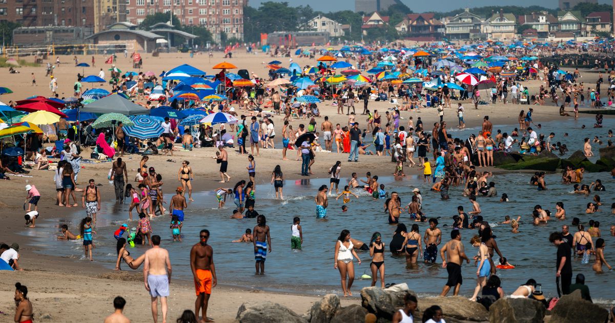
New weather maps have revealed exactly when the UK wil be bathed in heat Temperatures could reach a sweltering 34C(Image: Getty Images)
The UK’s fourth summer heatwave is just days away, with new weather maps showing temperatures are about to start climbing to 34C.
WXCharts has created using Metdesk data and forecast that temperatures will soar to between 26C and 29C in England on August 10.
It’ll only get hotter from here, as on the following day, August 11, the south coast of England will reach 31C.
Read more: State Pension age rising for people born in these years in 2026
Most of the south will reach 30C, with the north of England facing temperatures between 26C and 29C.
On August 12, temperatures will again exceed 30C for much of England, with highs of 32C in Sussex .
Again, on August 12, the Midlands will see temperatures of 32C-33C, while the south will peak around 34C.
Meanwhile, North Yorkshire is expected to bask in 31C conditions in the late afternoon.
According to the WXCharts data, the UK will enjoy over 100 hours of hot weather in the coming days, from 6pm on August 9 and ending at 6am on August 14.
Ahead of the hot weather, the north of England and Scotland have been warned to prepare for Storm Floris.
Northern areas of England, Scotland, and Northern Ireland have all been issued a yellow weather warning.
These areas have been told to expect winds reaching 40mph to 50mph inland and up to 60mph to 70mph along exposed coasts and hills.
It’s worse in Scotland, as winds could reach a staggering 85mph.
The warning is in place from 6am Monday to 6am Tuesday, by which time the peak of the thunderstorm is expected to have passed.
However, “there remains some uncertainty in the depth and track of Floris”, the Met Office said.
It added: “Winds will first ease in the west during later Monday, but remaining very strong overnight until early Tuesday in the east.
“Heavy rain may also contribute to the disruption in places.”
The Met Office has warned people to do the following: “Prepare to protect your property and people from injury. Check for loose items outside your home and plan how you could secure them. Items include; bins, garden furniture, trampolines, tents, sheds, and fences.
“Give yourself the best chance of avoiding delays by checking road conditions if driving, or bus and train timetables, amending your travel plans if necessary.
“People cope better with power cuts when they have prepared for them in advance. It’s easy to do; consider gathering torches and batteries, a mobile phone power pack and other essential items.
“If you are on the coast, stay safe during stormy weather by being aware of large waves. Even from the shore large breaking waves can sweep you off your feet and out to sea. Take care if walking near cliffs; know your route and keep dogs on a lead. In an emergency, call 999 and ask for the Coastguard.
“Be prepared for weather warnings to change quickly. When a weather warning is issued, the Met Office recommends staying up to date with the weather forecast in your area.”