
The Met Office has downplayed reports of a 400-mile long band of rain that will reportedly sweep through the UK later this month.
According to a report in the Daily Express, citing weather data from WXCharts, a rain storm that will be 403 miles long will hit on Thursday, 28 August.
The newspaper said it will bring heavy rainfall to cities such as Belfast, Glasgow, Birmingham, London and Manchester, with Cardiff and Bristol being particularly badly affected.
But the Met Office told Yahoo News UK that 10 days is too far away to come up with an accurate forecast, although it did say there is a chance of wet and windy weather later this month.
A spokesperson said the date reported when the rain storm could hit “is a way away and weather forecasts become clearer closer to the time”.
They added: “Our short range forecast uses current observations, data and modelling, whereas the long range is based on trends and focuses on average conditions over a broad area and time frame.
“With that in mind, the long range for the rest of August does mention the potential for changeable conditions and a small chance of widely wetter and windier weather developing.”
In its long range forecast for Friday 22 August to Sunday 31 August, the Met Office says the beginning of this period will be marked by fine and dry weather.
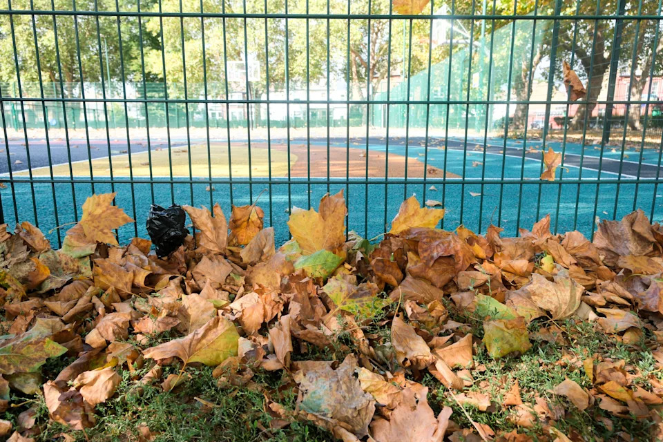
Signs of early autumn as fallen leaves surround a park in north London on Monday 18 August. (Alamy)
However, it says: “This will be increasingly eroded from the west as frontal systems start to move in from the Atlantic through the weekend, leading to more changeable conditions.”
In addition, a deep area of low pressure is likely in the North Atlantic Ocean because of Hurricane Erin, currently threatening the east coast of the US.
The forecast says: “The changeable period will likely continue through the last week of August, especially in the north and west, with a small chance of widely wetter and windier weather developing.”
What about this week?
Following last week’s fourth heatwave of the summer, this week is set to remain largely dry with temperatures reaching highs of 27C on Monday and Tuesday, the Met Office said.
Sunday’s highest temperature was 27.7C in Somerset, while West Sussex and Inverness, Scotland, also reached 27C.
Heat health alerts issued last week by the UK Health Security Agency (UKHSA) remain in place across seven regions of England – Yorkshire and the Humber, the East Midlands, the West Midlands, the East, London, the South East and the South West – until 6pm on Monday.
Maximum temperatures are expected to fall to 24C by Wednesday and Thursday, the Met Office said, but could go back up to the high 20s again by the weekend.
How accurate are weather forecasts?
The Met Office says that thanks to technology, its four-day forecast is now just as accurate as its one-day forecast was 30 years ago.
It uses its Numerical Weather Prediction (NWP) model for its forecasts, verified by the World Meteorological Organisation (WMO).
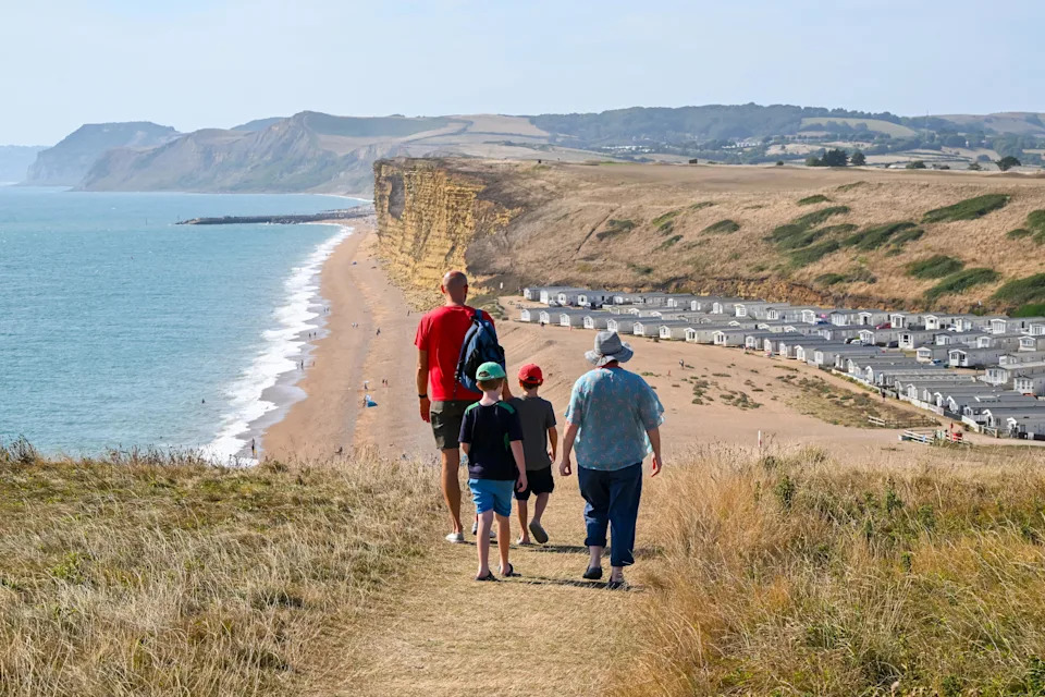
Walkers head towards Freshwater Beach Holiday Park at Burton Bradstock on the Dorset Jurassic Coast on Sunday. (Alamy)
The Met Office says that in the past 12 months that 92% of its three hourly temperature forecasts – given between three to seven days ahead of time – have been accurate to within either 2°C above or below on the current day.
However, it said that because weather is a “chaotic” system, the slightest shift in conditions can lead to inaccuracies in predicting what is to come, meaning it is better to rely on a number of forecast models as opposed to just one.