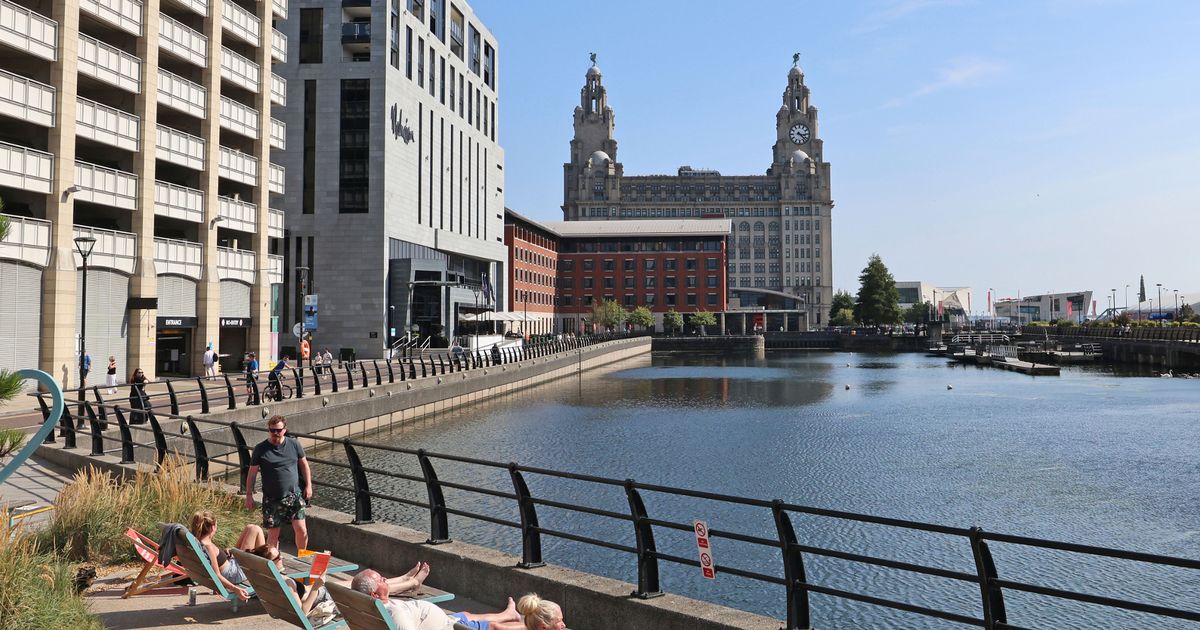
The Bank Holiday weekend is set to be the last of the dry weather this summer before wind and rain hits the UK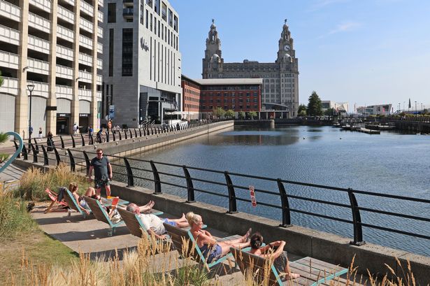 The sun is expected to make a final appearance of the summer this weekend(Image: Colin Lane/Liverpool Echo)
Temperatures are set to dip slightly before rising again over the Bank Holiday weekend forecasters have predicted. The week has started with plenty of cloud after a scorching weekend but temperatures can be expected to warm up again as people enjoy the three-day weekend.
Monday and Tuesday this week has seen temperatures dip following the weekend with cloud taking hold, but the sun will be returning when Wednesday comes around as temperatures hit a comfortable 22C. Despite the improved temperatures in the early evening, the day will start off gloomy as cloud lingers.
Sun will break through shortly after sun rise before clearing around lunchtime, according to the Met Office.
Thursday and Friday will see the temperatures drop slightly to 20C but the sun will remain as people begin to wind down for the last three-day weekend of the summer.
Thursday is predicted to be a clearer day, with less cloud, with the national weather forecaster expecting the evening to be a clear one for the region.
Friday has more cloud throughout the day and into the night heading into the weekend.
Saturday is forecast to go up to highs of 22C late afternoon into the evening while sunny spells bright up the day before the temperatures reach 24C on Sunday with the sun continuing to pierce the clouds.
Monday paints a similar picture for Liverpool as temperatures are again set to reach 24C late afternoon as cloud continues to break up the warming sunshine of the day.
The final bank holiday weekend comes after the summer has been marked with persistent warm temperatures even outside the four heatwaves which have hit the country, with June and July both seeing well above-average conditions.
With two weeks to go until the end of the meteorological summer, conditions could still shift, but the season’s overall warmth and consistently above-average temperatures mean it could rank among the UK’s warmest in records dating back to 1884.
Provisional figures from the Met Office show that the UK’s average temperature from June 1 to August 17 stands at 16.2C, some 1.6C above the average temperature.
But it is predicted that rain will hit after the last bit of sunshine in August as Hurricane Erin makes its way across the Atlantic, bringing wind and rain to the UK.
The major category three hurricane is currently north-east of the Bahamas where it has come down from 140mph to 120mph and is expected to bring big waves to the east coast, the Met Office said.
It is forecast to remain out in the ocean, then the remnants of the hurricane could be seen in the UK by late Sunday, meteorologist Marco Petagna said.
There is a risk of rain developing and then the weather is expected to turn increasingly unsettled by the early to middle part of next week.
Wet and windy weather could be seen, with heavy downpours at times, and forecasters are monitoring it to decide whether to issue any rain warning nearer to the time, Mr Petagna added.